Heat builds in for the weekend with periodic storm chances
Muggy dew points also return this weekend
Go Deeper.
Create an account or log in to save stories.
Like this?
Thanks for liking this story! We have added it to a list of your favorite stories.
Heat and humidity are building back in for the weekend. Northwest Minnesota will see storms late Friday and Friday night. There will also be spotty storm chances late Sunday for many.
Heat builds in for the weekend with periodic storm chances
It will still be relatively comfortable in eastern Minnesota Friday with highs in the 80s, but low 90s will start to push into northwest Minnesota for afternoon highs. We’ll see a mix of low clouds and sun and even a few sprinkles early on as muggier air moves back into the region.

Dew points will be increasing Friday as well, so while the temperatures won’t be so hot yet, you’ll notice it becoming stickier by Friday afternoon and certainly by Saturday.

That increase in moisture and heat combined with the next incoming disturbance grazing the international border will touch off storms later Friday in northwest Minnesota that will then track east overnight. A few showers or a thunderstorm could make its way south very early Saturday.
Turn Up Your Support
MPR News helps you turn down the noise and build shared understanding. Turn up your support for this public resource and keep trusted journalism accessible to all.

There’s a slight risk (level 2 of 5) for severe storms in northwest Minnesota with a marginal risk (level 1 of 5) for much of northern Minnesota for Friday into Friday night. Initial storms could produce isolated tornadoes with an emerging high wind threat along with large hail.

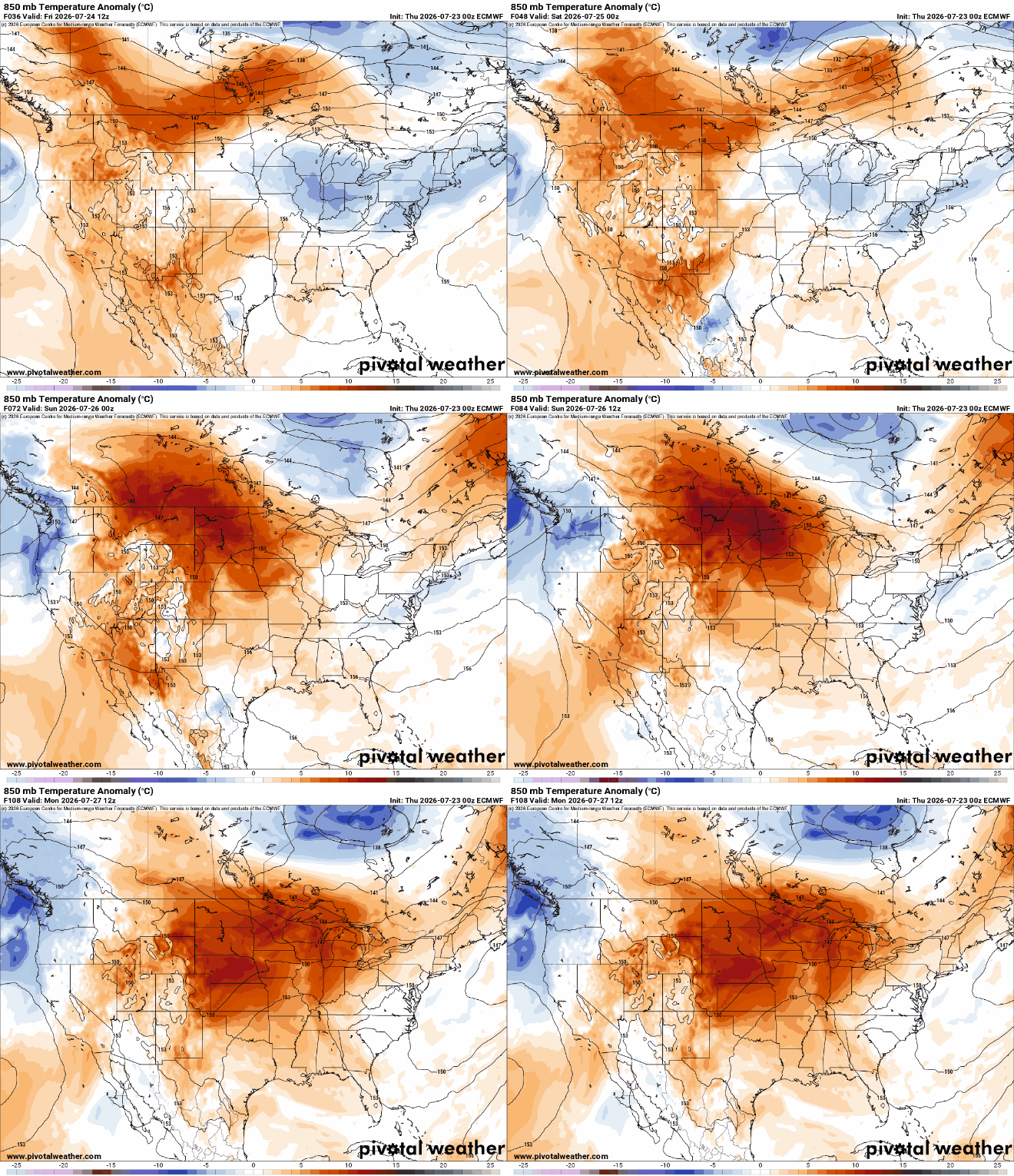
Highs Saturday and Sunday will be in the 90s for much of western, central and southern Minnesota, along with dew points near 70 degrees.

The combination of high dew points and temperatures in the 90s will make for afternoon heat index values between 95 and 105 degrees both Saturday and Sunday afternoons.

There’s an extreme heat watch for Saturday and Sunday for the Twin Cities and south central Minnesota.

There will be a chance for spotty storms, especially Sunday night, for much of the state and potentially isolated activity Monday. Confidence in placement and timing of storms Sunday night is low at this point.

Whatever storms do develop could become severe, however. There’s a broad slight risk (level 2 of 5) forecast for potential severe storms. In particular, high wind gusts could be the threat Sunday evening into the overnight.

A very weak cool front will be sweeping through Monday. It will only drop temperatures and dew points slightly. Expect highs to remain near 90 degrees much of next week in southern Minnesota and the Twin Cities.
