
More heat, rain Thursday, dry to follow

Go Deeper.
Create an account or log in to save stories.
Like this?
Thanks for liking this story! We have added it to a list of your favorite stories.


If you’re like me, you look out the window onto the lawn and you see… yellow and brown. We’ve had some rain at times, sure, but drought is building into parts of Minnesota and there’s only really one widespread chance of rain at a statewide level in the next few days. That happens at the same time as highs stay in the lower 90s.
After some wild dew points early Monday and then our first 100° day in over four years, Tuesday is looking a lot quieter in the MPR weather lab. We’re still in the lower-to-middle 90s before you know it, but humidity is not as impactful.
There’s an itty-bitty surface high near New Ulm and Albert Lea, but it’s effectively not doing much. We have fair skies, ultralight winds, and a very high UV index on Tuesday. Around dusk, there are a few signals of a couple of thunderstorms in far southwestern Minnesota. That’s where a leftover boundary has been hiding, kept from storms a couple of nights ago.


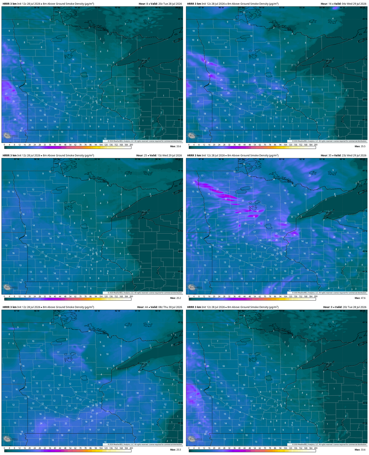
Wednesday brings more of the same. That means abundant sunshine, some upper level smoke (perhaps noticeable to the eye but not necessarily impacting surface air quality or threatening breathing), and more ‘dry heat.’ Highs are still in the lower-to-middle 90s, with some 80s sprinkled throughout northern Minnesota. While this weather is not great for the firefighting, at least the winds are light.
Thursday is our best chance of rain this coming week - and it has long appeared that way. Hopefully this will help with drought, even for a day, and allow fire crews to approach containment.


Turn Up Your Support
MPR News helps you turn down the noise and build shared understanding. Turn up your support for this public resource and keep trusted journalism accessible to all.

