
A couple more hot days then some hopeful rain chances
More seasonable temperatures this weekend
Go Deeper.
Create an account or log in to save stories.
Like this?
Thanks for liking this story! We have added it to a list of your favorite stories.


We’ll be near 90 degrees still Wednesday and Thursday. We have a decent chance of needed rain and thunder Thursday night into Friday followed by more seasonable temperatures.
A couple more hot days then some hopeful rain chances
It’ll be another hot day with highs near 90 degrees once again Wednesday afternoon. We could see highs in the mid to upper 90s in northwestern Minnesota and the Red River Valley. Dew points will be mainly in the 60s with some near 70-degree dew points west.

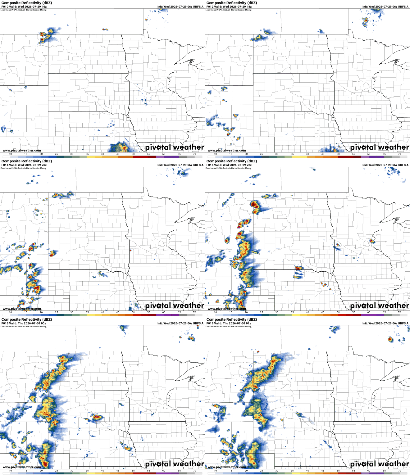
As high pressure drifts east, “return flow” develops which will allow more muggy air to move back in. An isolated shower or thunderstorm can’t be ruled out Wednesday afternoon as a result but most will remain dry.
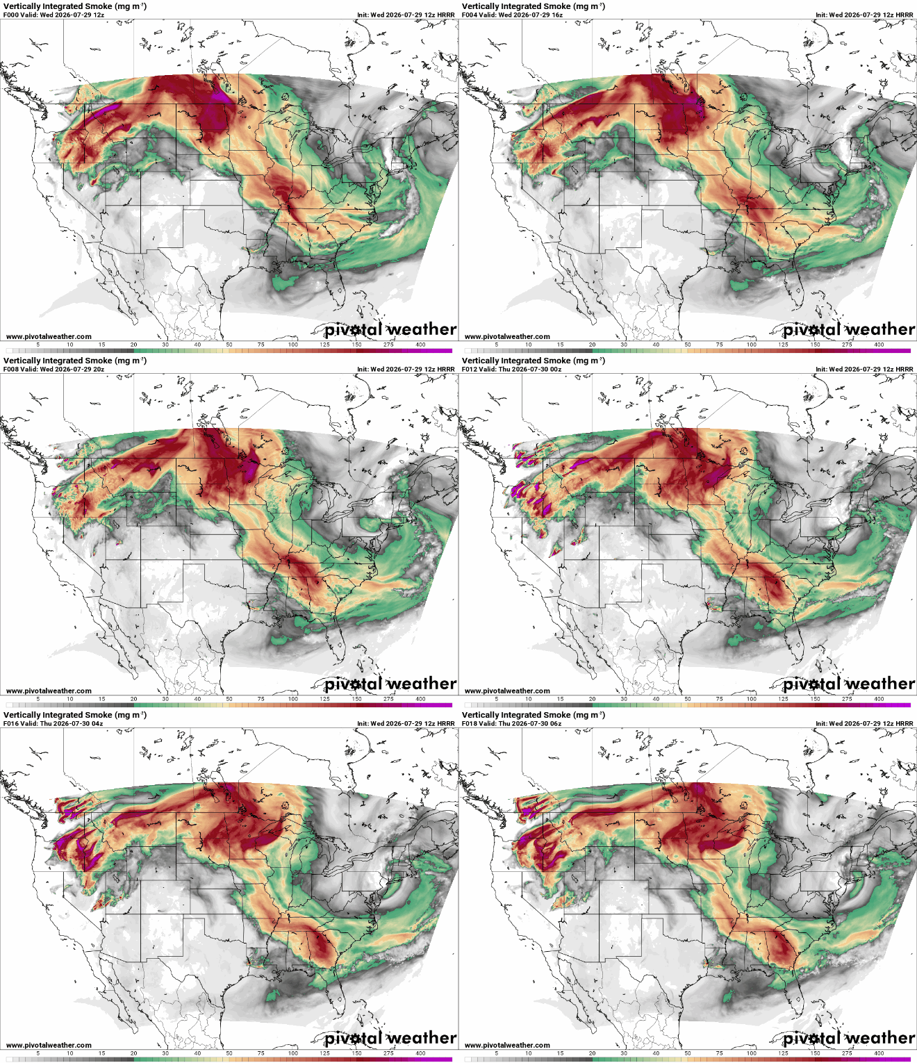
You’ll also notice skies becoming more hazy Wednesday afternoon and evening as additional, elevated wildfire smoke from fires in Oregon and Washington moves in from the west and northwest into Wednesday night.
Turn Up Your Support
MPR News helps you turn down the noise and build shared understanding. Turn up your support for this public resource and keep trusted journalism accessible to all.
Thursday will be the last day near 90 degrees for a little while. High clouds will increase ahead of the next disturbance.

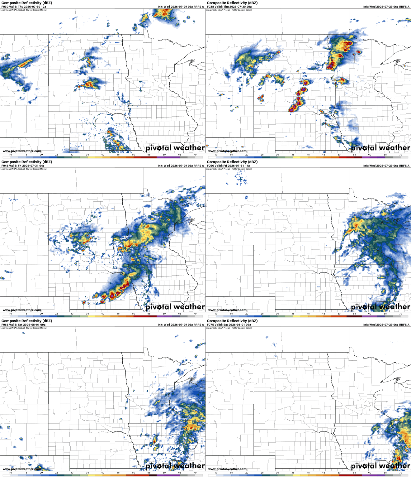
Scattered showers and storms develop Thursday afternoon in western Minnesota and expand east into Thursday night and Friday ahead of the next cool front and upper-level disturbance moving through the region. This will bring a hopeful chance at much needed moisture.
There’s even a marginal (level 1 of 5) severe risk for western Minnesota Thursday into Thursday night. A couple of initial storms that develop in northwestern and western Minnesota late Thursday afternoon and evening could pack a punch.

Total rainfall could be significant for many and it comes at a time when conditions are really becoming very dry.
It’s difficult to pinpoint where the heaviest rain will fall yet but there’s a real potential for 1 to 2 or more inches of rain anywhere in central and southern Minnesota late Thursday into Friday.

Behind the system, temperatures will be more seasonable — mostly in the 80s for the weekend into early next week with dew points back in the 60s and 50s primarily.


