
Beautiful, sun-filled weekend and comfortable overnights
Temperatures will remain seasonable next week
Go Deeper.
Create an account or log in to save stories.
Like this?
Thanks for liking this story! We have added it to a list of your favorite stories.


After a much needed soaking yesterday, the sun is back for the weekend and it will be beautiful. Temperatures remain seasonable into next week with no 90s expected.
Beautiful weekend with seasonable temps continuing into next week
We very much needed that rainfall that many of us saw in central and southern Minnesota yesterday. Much of the southern half or third of the state saw over 1 inch of rain with locally higher amounts (some places saw 5 to 7 inches!) in some areas. Winthrop in Sibley county measured 6.75 inches of rainfall. Officially, at the Minneapolis-St. Paul international airport, we received 1.53 inches. Chanhassen received 3.09 inches.

It was a cool and wet end to what was an otherwise hot and dry July. In fact, it goes down as our 6th hottest July in the Twin Cities (since 1873) and the 5th or 6th hottest statewide. It was likely THE hottest July (and month) nationwide.

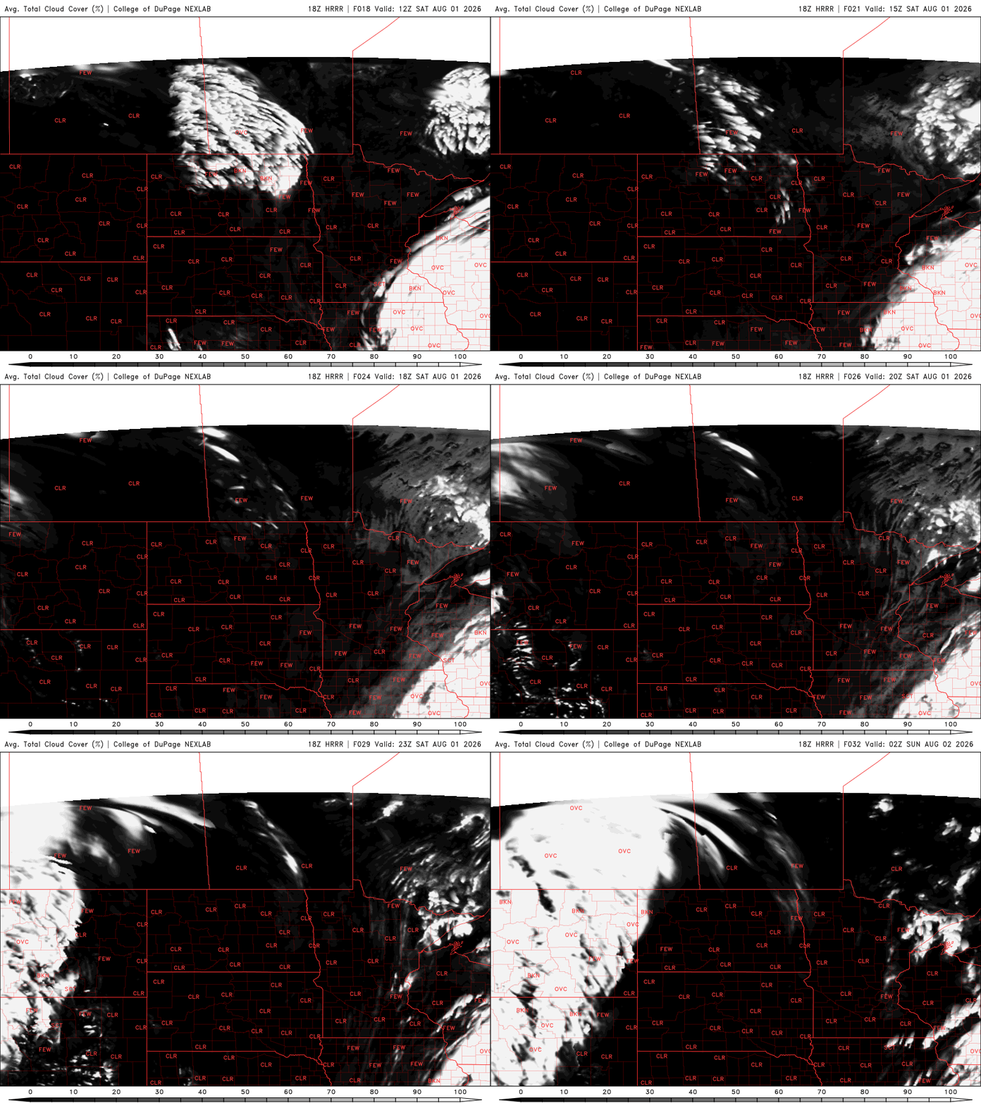
Here we are now in August and Saturday and Sunday look beautiful. We have lots of sunshine and seasonable temperatures. Highs Saturday will be in the upper 70s to low to mid 80s for most. Dew points will be in the low to mid 60s.
Turn Up Your Support
MPR News helps you turn down the noise and build shared understanding. Turn up your support for this public resource and keep trusted journalism accessible to all.

We’ll have a comfortable overnight with lows dropping into the 50s for most places outside the Twin Cities. Pockets of northeast Minnesota may even see lows in the 40s!

Sunday will be another beauty with highs in the upper 70s to low 80s. Temperatures will creep up a bit more in the Red River Valley with highs in the mid to upper 80s there. Dew points may even drop into the 50s for much of the state making it very comfortable.

The next cool front moves in late Monday into Tuesday. It will touch off the next chance of some storms in northwest Minnesota late Monday with spotty chances farther south into Tuesday.
Behind that front, temperatures and dew points will dip even a bit more for Wednesday. Highs Wednesday maybe in just the 70s for most of the state. There are no 90-degree high temperatures in sight this upcoming week.

