
Another gorgeous day Sunday before the next chance of thunder
Slightly cooler conditions for midweek
Go Deeper.
Create an account or log in to save stories.
Like this?
Thanks for liking this story! We have added it to a list of your favorite stories.


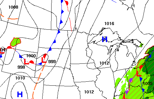
High pressure keeps things bright and dry Sunday. The next cool front will advance out of the Dakotas into Minnesota early this week touching off the next chance of thunder.
Another gorgeous day Sunday before the next chance of thunder
If you liked Saturday, you’ll love Sunday. It’ll be another gorgeous, sun-filled day Sunday. Afternoon highs will be in the upper 70s for portions of far southeast Minnesota and northeast Minnesota. Most of central Minnesota will see highs in the 80s. Things heat up in the Red River Valley where low 90s are possible.

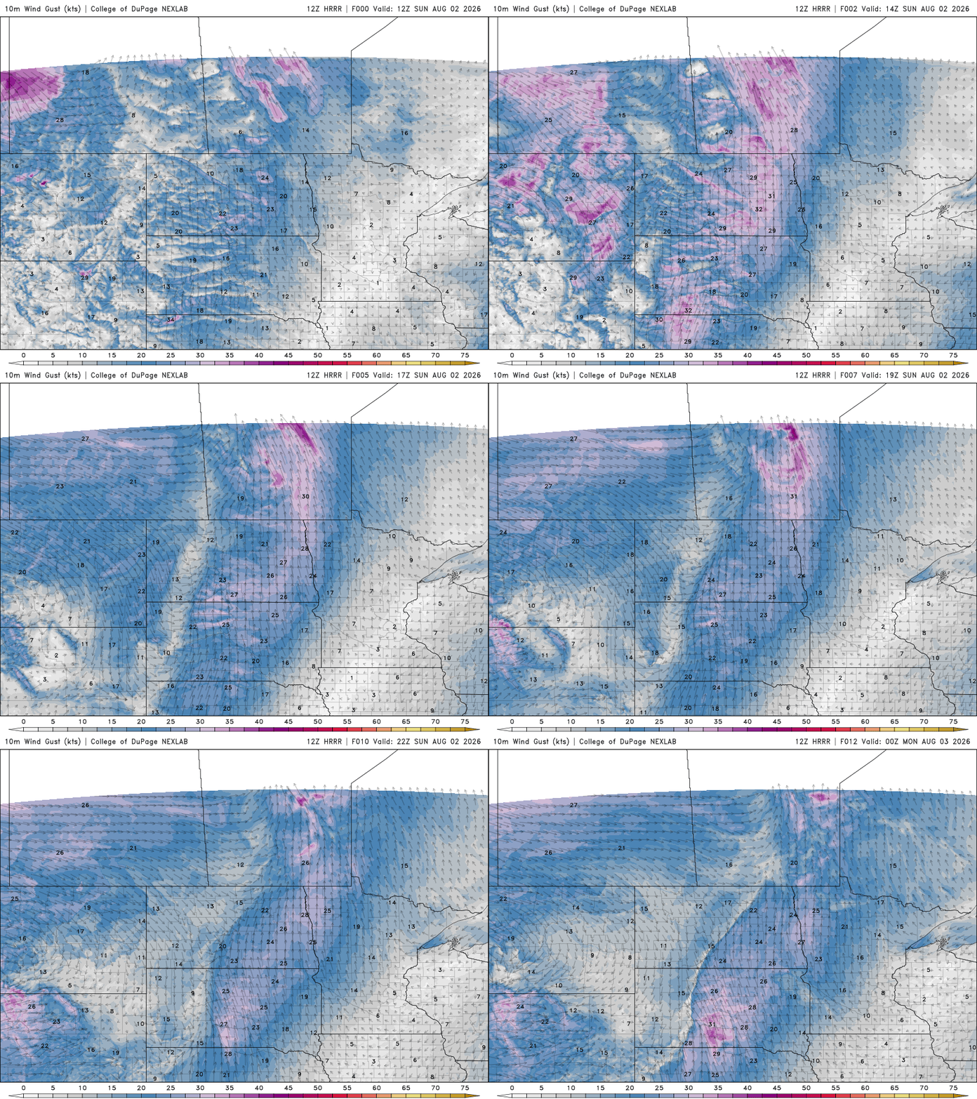
Winds will be light in eastern Minnesota where high pressure is still in control Sunday but winds increase in western Minnesota out ahead of an advancing cool front in the Dakotas. Winds in western Minnesota will be 15-30 mph from the south.
It’ll be another comfortable overnight with lows falling into the 60s and 50s across the state once again with mainly clear skies for most.
Turn Up Your Support
MPR News helps you turn down the noise and build shared understanding. Turn up your support for this public resource and keep trusted journalism accessible to all.

Monday will be warmer for most with highs in the low to mid 80s. We’ll start to see high clouds increase as storms develop west later in the day.

We’ll see scattered showers and storms develop early Monday and again later in the day ahead of the cool front in northwest Minnesota. Those showers and storms will then attempt to advance south and east but largely fall apart before attempting to redevelop Tuesday in southern Minnesota.
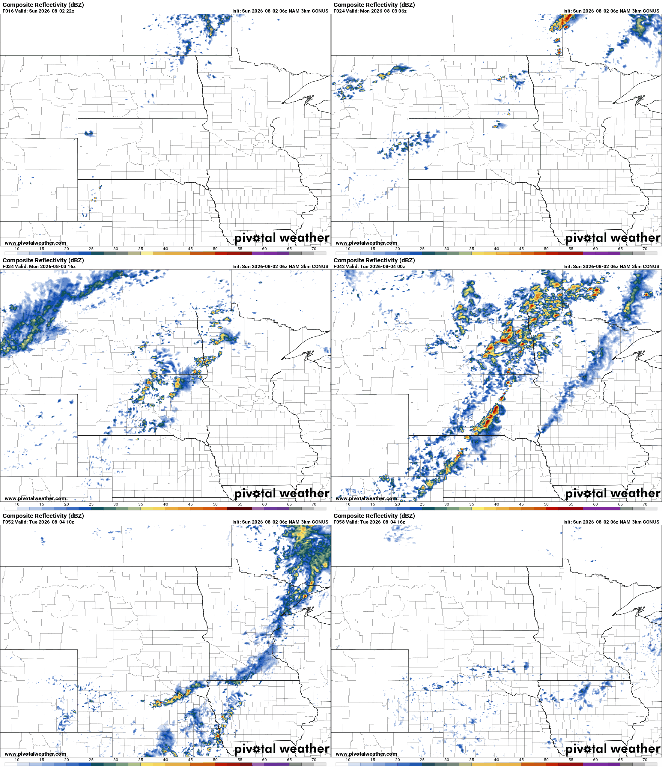
There’s a slight risk (level 2 of 5) for severe storms in northwest Minnesota late Monday. Isolated tornadoes are possible along with potential damaging wind gusts and large hail.

Behind the front, temperatures will be a bit cooler and dew points will be comfortable, in the 50s Tuesday through Thursday.


