
Storms bring much needed rain. Severe threat looms for Monday
Slight risk for strong to severe storms

Go Deeper.
Create an account or log in to save stories.
Like this?
Thanks for liking this story! We have added it to a list of your favorite stories.


Thunderstorms are already bringing rain to parts of Minnesota early Monday, with additional rounds of storms expected to develop later Monday and continue into early Tuesday.
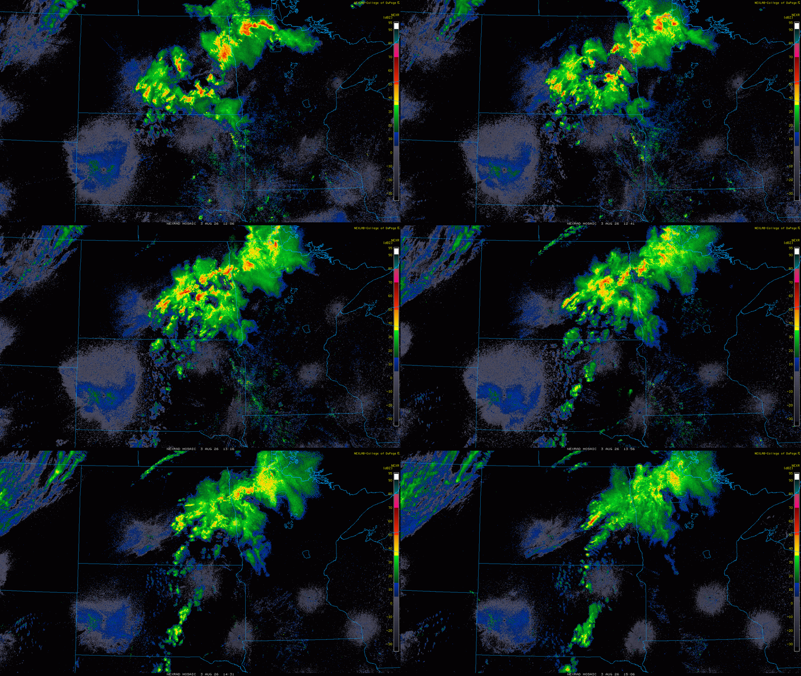
As the day goes on Monday, warmer temperatures and increasing dew points will help fuel additional thunderstorm development along the cold front, with some storms becoming strong to severe by Monday evening.
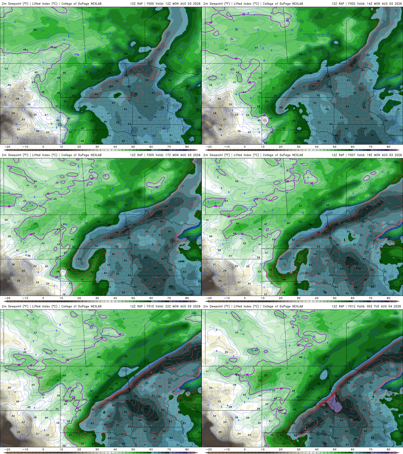
The Storm Prediction Center has placed portions of western, northwestern and north-central Minnesota under a slight risk (level 2 of 5) for severe weather. The main threats will be damaging wind gusts, large hail and locally heavy rainfall through early Tuesday morning.
While a few storms may become severe later, the rainfall that accompanies them will be welcomed across much of Minnesota. Drought conditions have continued to expand in recent weeks, doubling in some areas in a short period of time. For more information on the current drought conditions, check out Sven’s Updraft post from last week.
Additional rainfall opportunities are expected later this week. The latest European model forecast suggests many areas of Minnesota could receive 0.5 to 1.5 inches of rain over the next seven days, which would be very welcoming news.

Turn Up Your Support
MPR News helps you turn down the noise and build shared understanding. Turn up your support for this public resource and keep trusted journalism accessible to all.

