Lingering showers south, dropping dew points Tuesday
Cooler few days before things warm back up
Go Deeper.
Create an account or log in to save stories.
Like this?
Thanks for liking this story! We have added it to a list of your favorite stories.


Temperatures and dew points drop in the wake of Monday night’s cool front. Some lingering showers, thunder south. A cool night and nice Wednesday before things warm back up.
Lingering showers south, dropping dew points Tuesday
We have some lingering showers and thunderstorms in southern Minnesota early Tuesday as our cool front continues to slide south and southeast. Some additional showers and thunder could develop near and behind the front in far southern Minnesota Tuesday afternoon, mainly along I-90, perhaps as far north as Redwing.
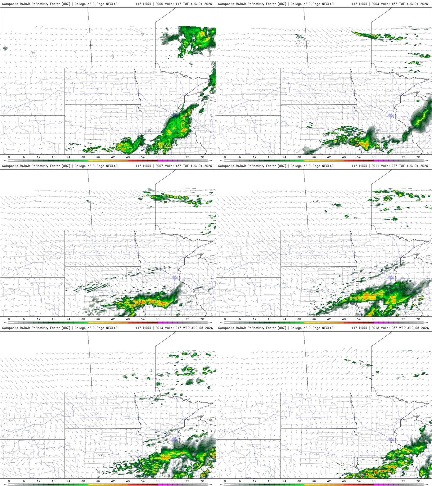
Skies will be brighter north with a mix of clouds and sunshine south. Afternoon highs will be in the 70s for most with just upper 60s in far northern Minnesota.

Dew points will drop from the 60s into the 50s and 40s north through the day. That drier, more comfortable air sticks around into early Thursday before dew points will creep back up again by the weekend.
Turn Up Your Support
MPR News helps you turn down the noise and build shared understanding. Turn up your support for this public resource and keep trusted journalism accessible to all.
Open the windows tonight and enjoy a nice cool, comfortable overnight. Temperatures will dip into the 40s in northern Minnesota with 50s south under clear skies.

Wednesday will yield a gorgeous day. We’ll have lot of sun, low dew points and highs mostly in the 70s with some low 80s in the Red River Valley.

Temperatures and dew points increase again starting Thursday and Friday. It will make for a very warm and muggy (at times) weekend. Highs will be back in the mid to upper 80s.

Dew points will increase from the comfortable 50s and 40s Tuesday through Thursday back into the 60s to near 70 degrees by Friday. Dew points will slosh back and forth from the comfortable 50s to near 70 degrees at times as a frontal boundary meanders around the region this weekend.
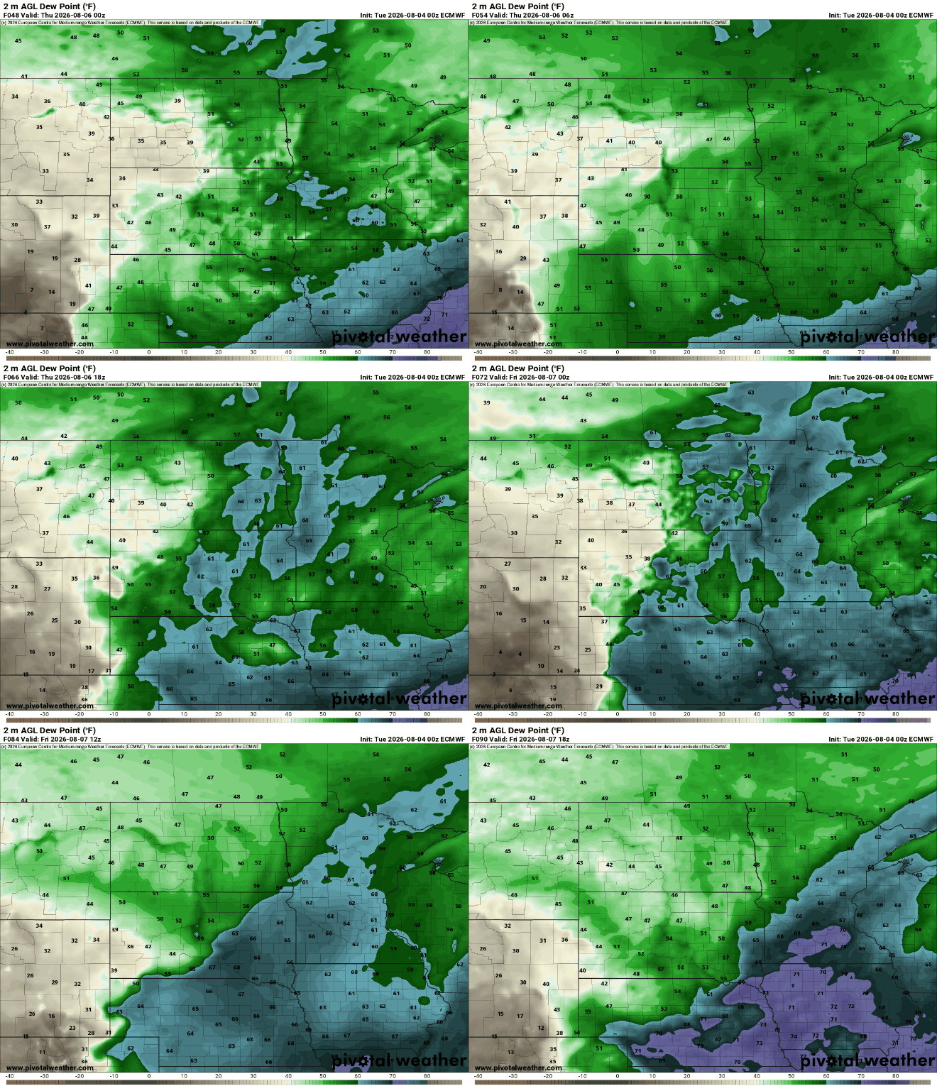
The combination of fast-moving upper level disturbances and that increase in moisture will create at least some spotty thunder chances at times. Northern Minnesota may see some activity Wednesday night. Southern Minnesota can expect some activity late Friday and Saturday and then perhaps again on Monday. Unfortunately, all chances will be hit and miss in nature and unlikely to bring significant rainfall.