Any hope for tropical moisture in MN?

Go Deeper.
Create an account or log in to save stories.
Like this?
Thanks for liking this story! We have added it to a list of your favorite stories.


Where is all the rain for your garden, farm, or fishing pond? I was just crossing the Mississippi a few times on Wednesday, heading back and forth to the airport, and it was apparent how low the Big River was. So, are there any sturdy rain chances like we just had last Thursday night into Friday? Simply, not really. But we’re going to dive in deeper in this Updraft and look at potential tropical help for drought. Mandy has your weekly drought update right here.
First, there’s a little better sign of rain on Friday. That said, it’s largely in the Arrowhead, with some late morning thunderstorms. Some of the newer data does suggest a couple of showers in the Twin Cities to Red Wing and down to La Crosse; that said, this is kind of ‘wishcasting’ where we grasp at straws for smaller rain chances. If that rain in far eastern Minnesota does actually linger, it would be around 3:00-5:00 p.m. Friday.
If you don’t get rain on Friday, the next best chance is all the way from very late Sunday into early Monday. The best chances here are confined to southern Minnesota.

Given the dry pattern, I was thinking back on rain events that were tropical in origin. As you might expect, we’re not getting full-fledged hurricanes steamrolling into our backyards. What Minnesota does get, at least on occasion, are remnant lows. The last was the ‘leftovers’ of Cristobal back in 2020. Like many things in the weather world (see yesterday’s Updraft), we probably need a new name for remnant lows. You might surmise that these are no big deal but they can cause bad flooding if the jet stream doesn’t kick these far east. Minnesota is about as far north and west as you’ll get these storms. That’s because the jet stream punches them east at a certain point - usually before they make it here.


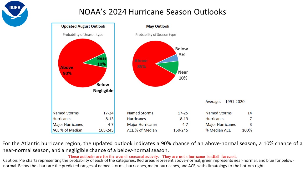
Here’s the deal. The National Hurricane Center just released its amended outlook for this hurricane season in the Atlantic. The trend was already low, given the Super El Niño that’s still strengthening. Here’s what they have to say: “NOAA’s updated outlook for the 2026 Atlantic hurricane season indicates that a below-normal season is most likely (75 percent chance). The outlook also includes only a 20 percent chance of a near-normal season, and a nominal 5 percent chance of an above-normal season. The 2026 Atlantic hurricane season is predicted to produce (with 70 percent probability for each range) 7-13 named storms (which includes the two named storms recorded thus far), of which 2-6 are expected to become hurricanes, and up to two of those are forecast to become major hurricanes. These ranges are centered below the 1991-2020 period averages of about 14 named storms, seven hurricanes, and three major hurricanes.”
Overall, the chances of tropical help to our drought remains low!
Turn Up Your Support
MPR News helps you turn down the noise and build shared understanding. Turn up your support for this public resource and keep trusted journalism accessible to all.