
Meandering frontal boundary to touch off spotty storms
Seasonable temps through early next week
Go Deeper.
Create an account or log in to save stories.
Like this?
Thanks for liking this story! We have added it to a list of your favorite stories.


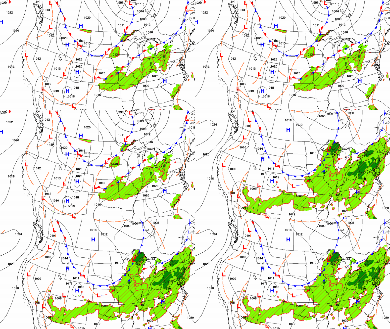
A weak cool front will touch off some spotty midday thunder Friday. Muggy air will move south and then march back north over the weekend. Monday may yield better rain chances.
Meandering frontal boundary to touch off spotty storms
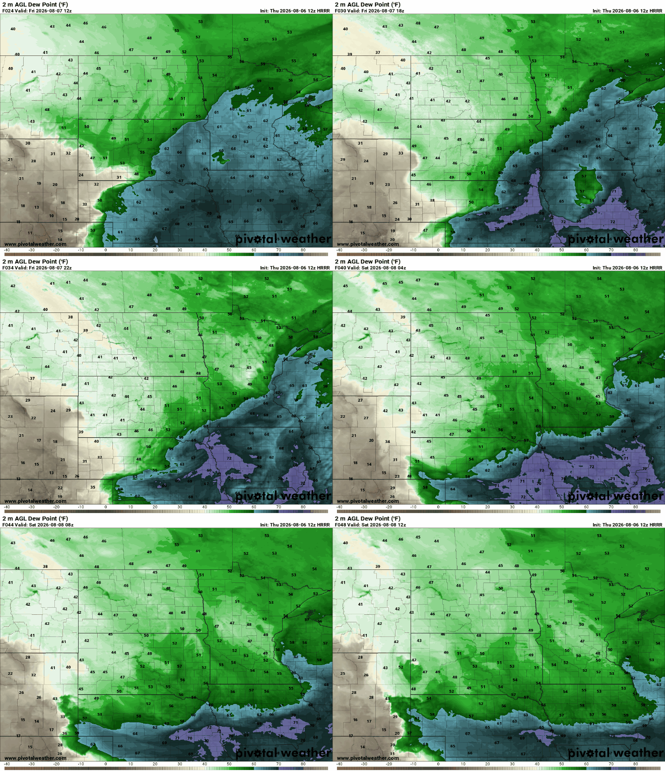
The muggy air is back Friday morning but it won’t last long. We’ll see morning and midday dew points in the 60s to even near 70 degrees, but a weak cool front will sweep dry air back in by evening into the start of Saturday.
That front will be the focus for some spotty to scattered thunderstorms Friday. It will be a broken line so not everyone will get needed rainfall. Eastern Minnesota can expect some of those showers and storms midday. Western Wisconsin will see activity in the afternoon and evening.
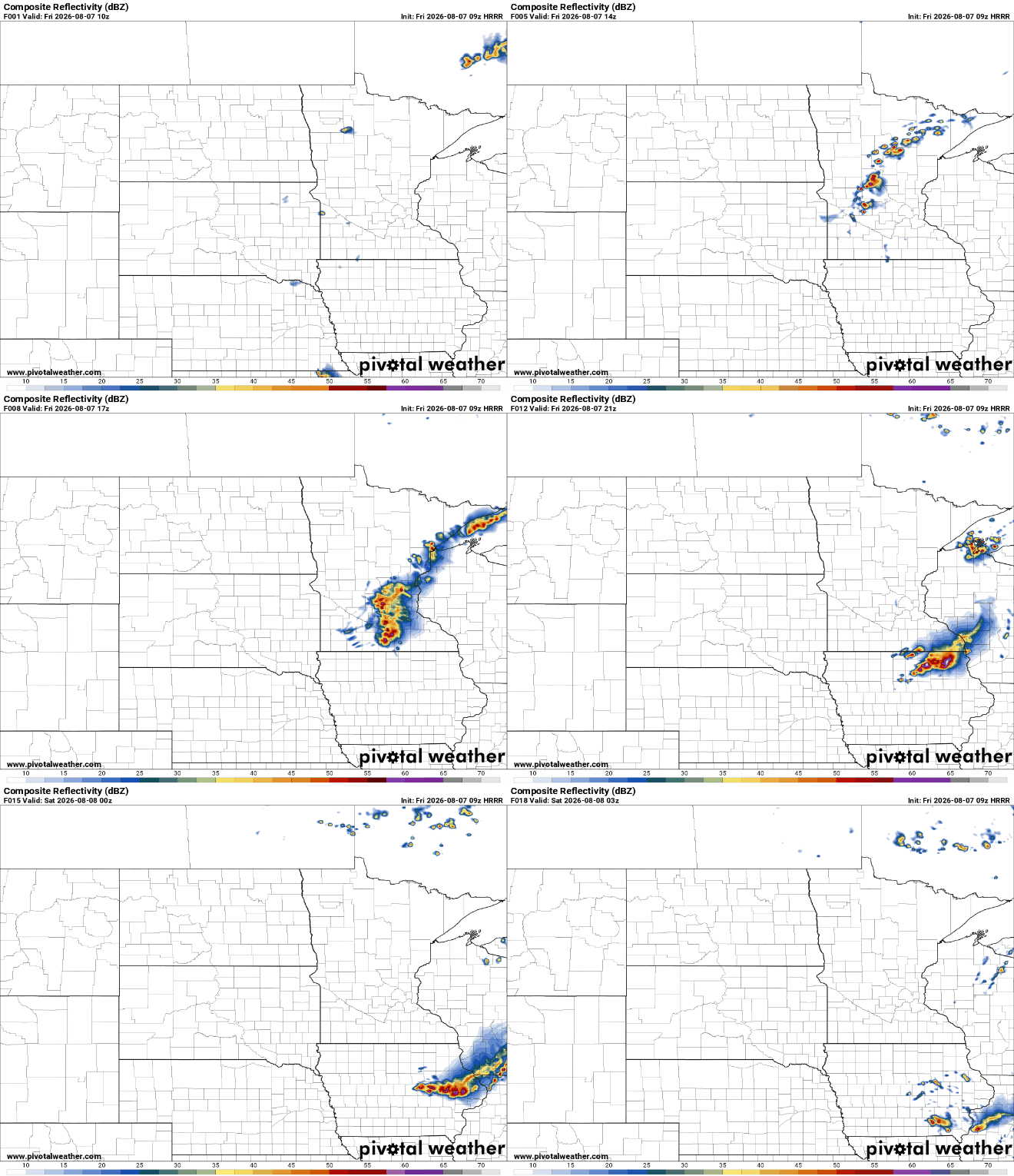
There is a marginal (level 1 of 5) severe risk for eastern Minnesota into western Wisconsin for Friday into Friday evening. The main threats would be an isolated damaging wind threat or isolated large hail.
Turn Up Your Support
MPR News helps you turn down the noise and build shared understanding. Turn up your support for this public resource and keep trusted journalism accessible to all.

Highs Friday will be back in the 80s south to 70s north again, pretty seasonable for this seventh day of August.

We’ll be on the edge of that muggy air on and off this weekend which means an isolated thundershower is possible at anytime, anywhere in the state but most of us will stay dry most of the time with seasonable temperatures in the 80s and 70s.

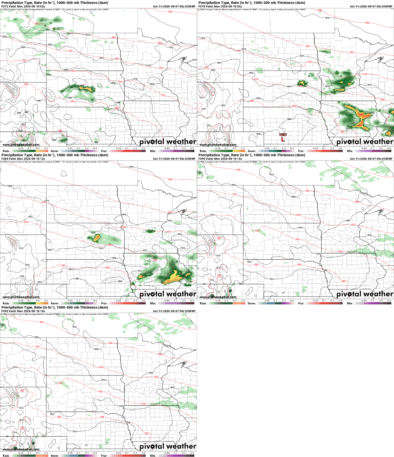
A better chance of perhaps more scattered showers and thunderstorms will develop Sunday night into Monday. That could yield more significant precipitation for portions of mainly southern Minnesota.
Temperatures will largely be close to normal into next week, which translates to low to mid-80s in central and southern Minnesota with 70s north.


