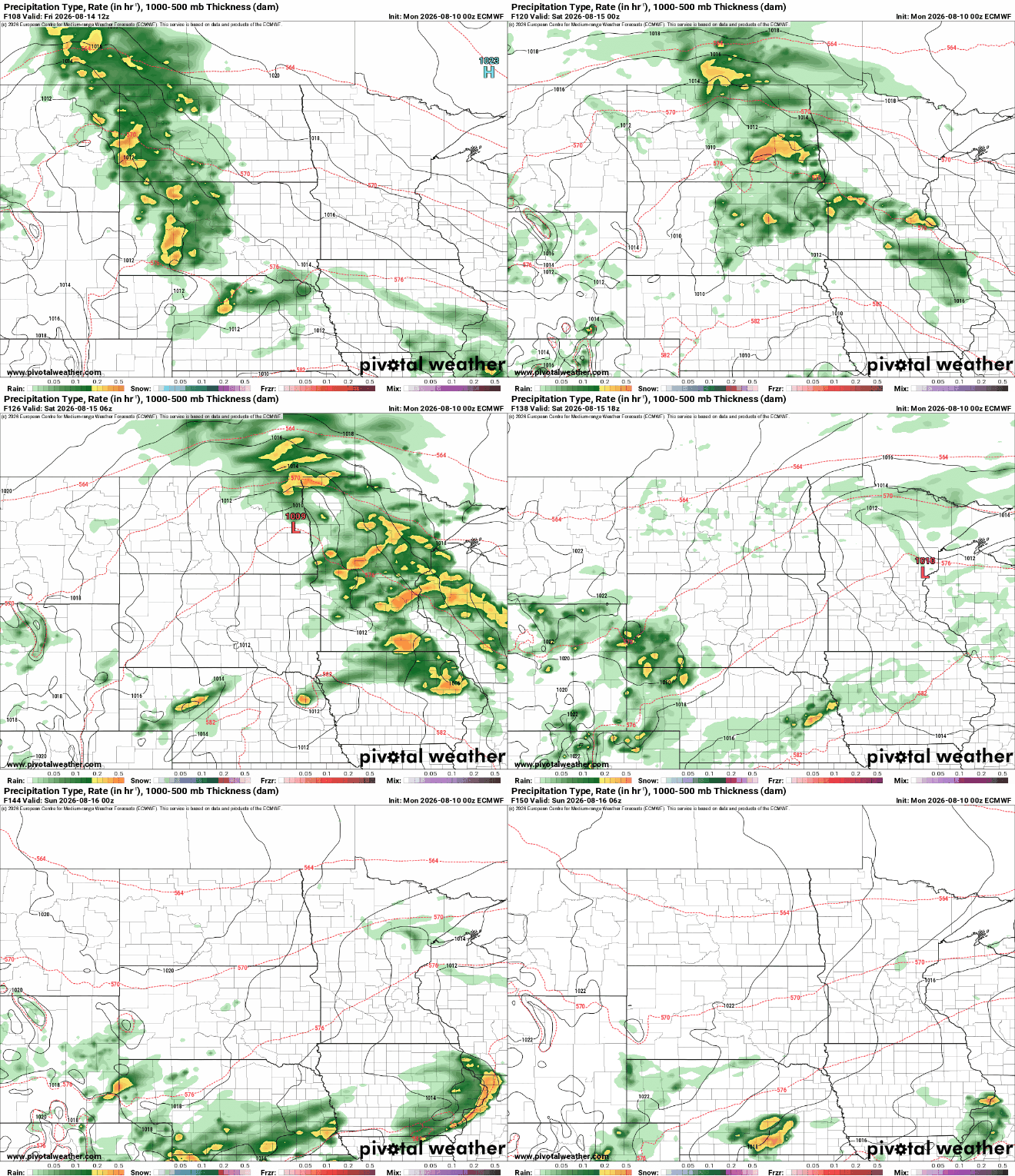
Seasonable temperatures with mainly isolated thunderstorm chances
Cooler air moves in late in the week

Go Deeper.
Create an account or log in to save stories.
Like this?
Thanks for liking this story! We have added it to a list of your favorite stories.


Temperatures will be in the low to mid-80s for the first half of the week before cooler air moves in. We’ll be looking at just isolated to spotty thunderstorm chances.
Seasonable temps, isolated thunderstorm chances
Some areas saw some needed rainfall over the weekend. Unfortunately, as has often been the case this summer, the heaviest rain keeps falling in areas that needed it least. In particular, Vernon Center, in south-central Minnesota, saw 2.95 inches of rain over the weekend.

Monday will be a pretty seasonable mid-August day. Look for partly cloudy skies and highs in the low to mid-80s across central Minnesota with slightly cooler temperatures north and south.

Muggier air will be depart just south, allowing for dew points to drop temporarily into the 50s. Look for stickier dew points — back in the 60s — to return Tuesday.
Turn Up Your Support
MPR News helps you turn down the noise and build shared understanding. Turn up your support for this public resource and keep trusted journalism accessible to all.
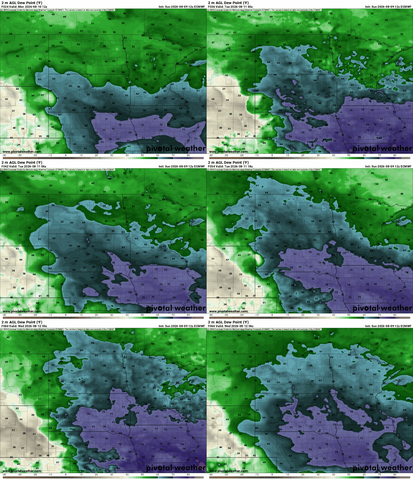
As that moisture moves back northward Monday night, it will potentially touch off at least a few thunderstorms in southern Minnesota into early Tuesday. Activity is likely to develop in eastern South Dakota late Monday night and fill in and track east into early Tuesday morning.
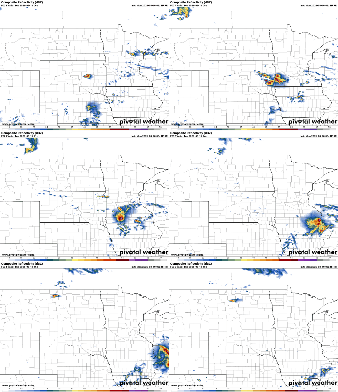
There’s a slight (level 2 of 5) severe risk for southwestern Minnesota and a marginal risk (level 1 of 5) for much of the rest of southern Minnesota, south of the Twin Cities Monday night into early Tuesday. The main threats would come from damaging wind gusts and large hail.

It’ll be more of the same for Tuesday with highs again back in the 70s and 80s with some patchy clouds after morning thunder in the south.

After Tuesday, any rain or thunder chances are pretty isolated. We will see some cool air move in late week, however. Highs will be in the 70s for most with some cool overnights Thursday into the weekend. Another system could deliver rainfall Friday night into early Saturday.