
Clouds hang tough, cooling trend ahead
Go Deeper.
Create an account or log in to save stories.
Like this?
Thanks for liking this story! We have added it to a list of your favorite stories.


Thankfully the damaging winds from an Upper Midwest derecho avoided our region Tuesday morning, before plowing into Illinois and Indiana with high-end severe damage. That said, most of the rain also avoided those, unless you were south of Interstate 90, which is only a fraction of Minnesota’s vast acreage.
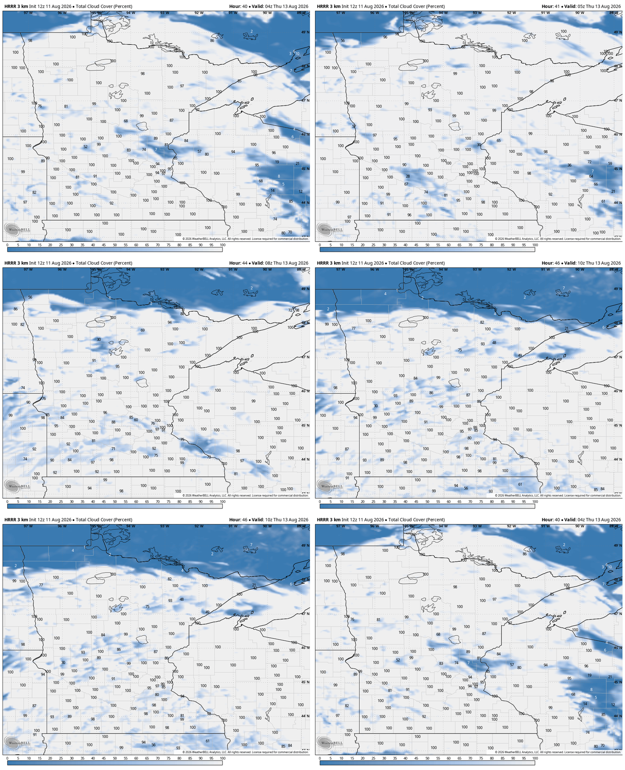
We’re still really toasty through Tuesday evening, because of the high dew points. The heat will stick around (maybe even a little hotter) on Wednesday, as many approach 90 degrees. We will have ample sunshine and mostly dry weather. Clouds race in at the worst time for stargazers; Wednesday night is likely to have a blanket of clouds that could largely obstruct our viewing of the Perseid meteor showers. That said, rain remains elusive. The MCS - mesoscale convective system - that produces the rain is staying to our south according to the next weather data.
I do foresee a slightly cooler weekend. Rain is with us (at least on several weather maps) Saturday and it should be across much of the state.

Rain could be a little heavier in the southeastern foot of Minnesota, but any steady rain - coupled with cooler temperatures - should help firefighters in the Boundary Waters get towards further containment. Temperatures will respond, too, bringing us cooler weather both days this weekend. Some weather tools are cooler about two weeks out, so that’s also something to watch for.

Turn Up Your Support
MPR News helps you turn down the noise and build shared understanding. Turn up your support for this public resource and keep trusted journalism accessible to all.

