
Storms for some, otherwise warm and muggy for a couple days
Cooler and less humid air returns late week
Go Deeper.
Create an account or log in to save stories.
Like this?
Thanks for liking this story! We have added it to a list of your favorite stories.


Morning showers and thunderstorms will dissipate in southern Minnesota. Clouds will decrease and we’ll have a warm and muggy couple of days. Cooler, drier air moves in late week.
Storms for some, otherwise warm and muggy for a couple days
Southern Minnesota saw a bit of rainfall early Tuesday as thunderstorms raced across South Dakota into Nebraska and Iowa, grazing the southernmost counties of Minnesota.
Rainfall was not terribly impressive with most locations coming in at just a few hundredths of an inch. Albert Lea had a slightly higher value of 0.34 of an inch.

It will be a warm and muggy Tuesday afternoon. Highs will again be in the low to mid-80s across central and southern Minnesota with upper 70s north. Dew points will be in the 60s to near 70 degrees in the southern half of the state.
Turn Up Your Support
MPR News helps you turn down the noise and build shared understanding. Turn up your support for this public resource and keep trusted journalism accessible to all.

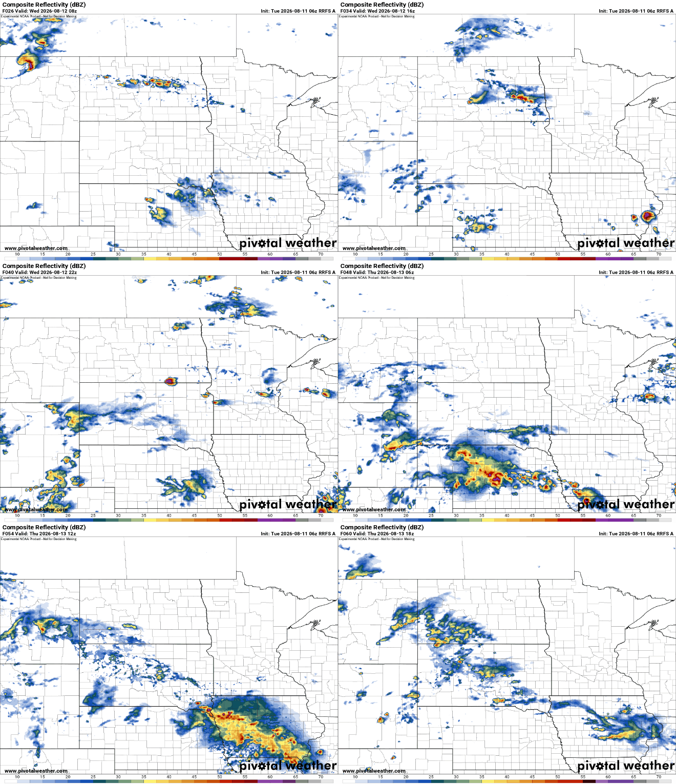
There could be some additional rain and thunder chances over the next 48 hours for some. Trying to time out and place activity is a low-confidence pursuit. But with muggy air in place, some early morning and late day thunder is possible into Thursday.
The best chances appear to be some isolated, pop-up thunder Wednesday afternoon and perhaps some early morning activity grazing southern Minnesota again Thursday.
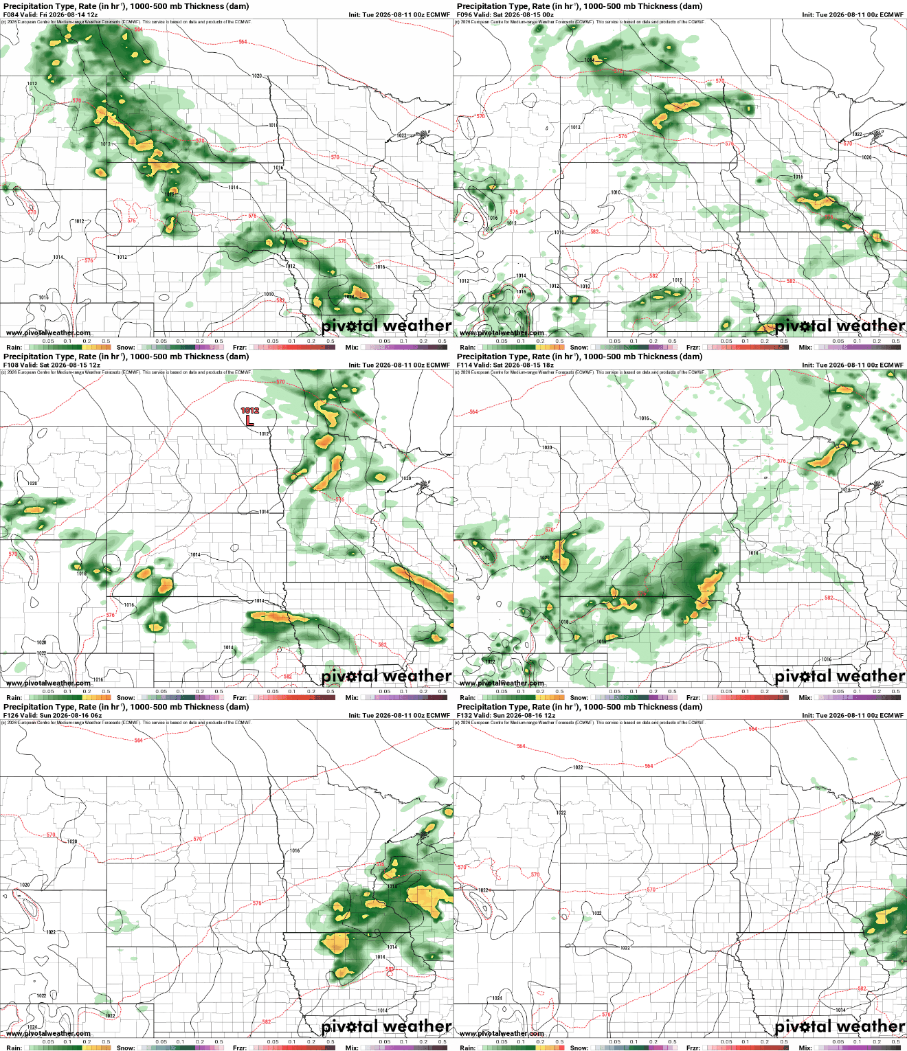
We’re watching a potentially widespread chance of showers and thunder Friday night into Saturday that could deliver rainfall to much of Minnesota, if we’re lucky.
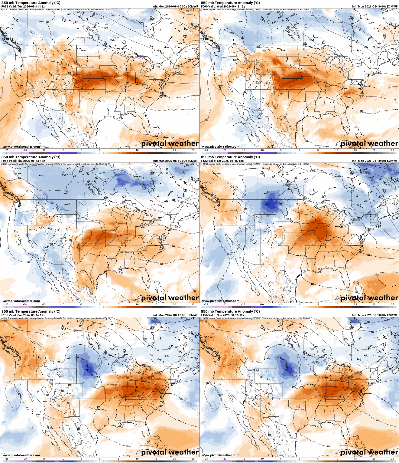
We’ll also have cooler air moving in late week into the weekend and early next week. Most will see highs in the 70s with a drop in dew points also.


