
Warm and muggy with some rain chances Wednesday
We’ll see a slight drop in temperatures for the weekend
Go Deeper.
Create an account or log in to save stories.
Like this?
Thanks for liking this story! We have added it to a list of your favorite stories.


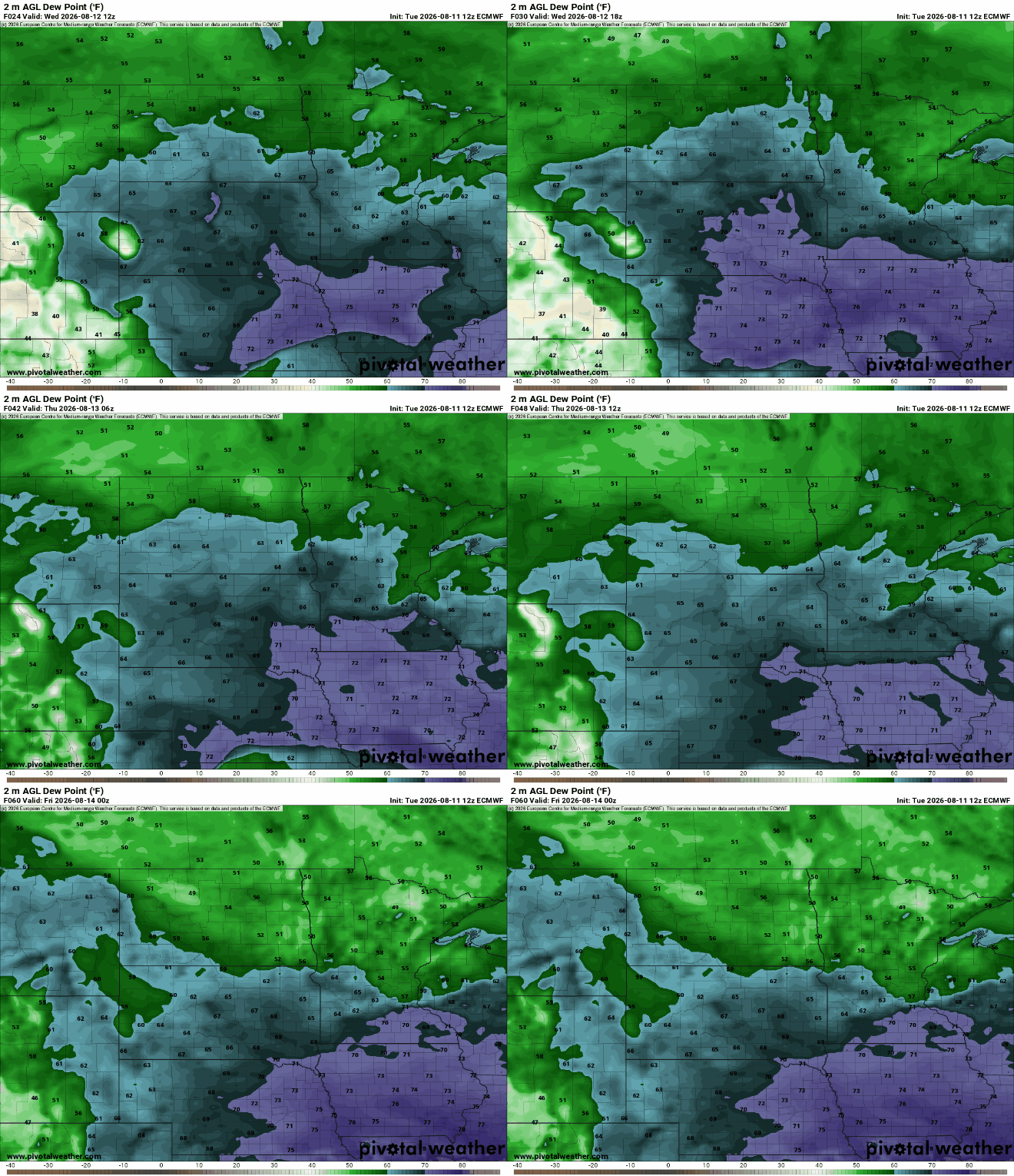
In the Twin Cities, we continue to be on the edge of some very humid air south and dry air north. That will shift a bit farther south Thursday. There are some chances at rain in the coming days.
Warm and muggy with some rain chances
We’ll have another very warm and muggy day Wednesday as the Twin Cities and much of central Minnesota continue to be sandwiched between some very humid air south and drier air north. Look for partly cloudy skies and highs in the mid-80s to mid-70s.

Western and southern Minnesota will see scattered showers and thunderstorms overnight Wednesday night into Thursday morning. Storms will develop in eastern South Dakota and dive east and southeast late into the overnight and early Thursday.
The Twin Cities will likely be on the northern edge of this rainfall.
Turn Up Your Support
MPR News helps you turn down the noise and build shared understanding. Turn up your support for this public resource and keep trusted journalism accessible to all.
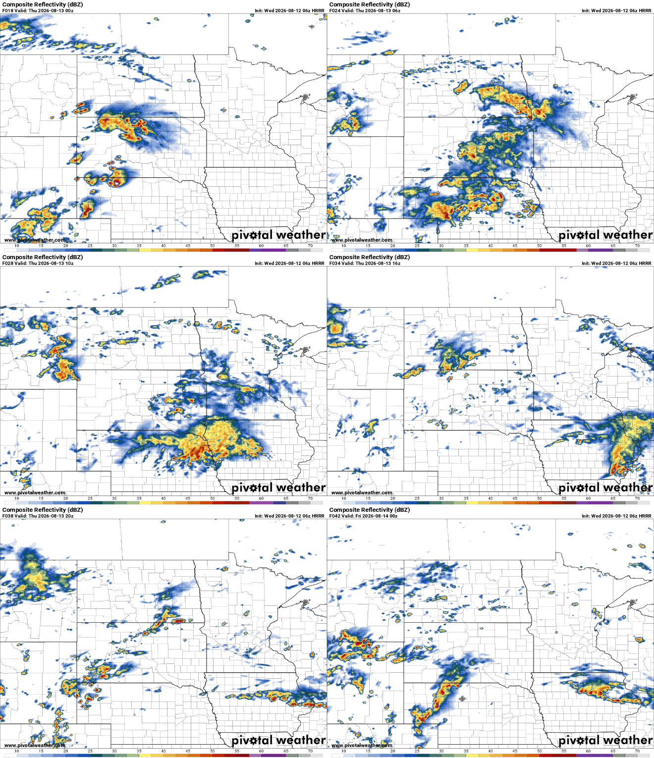
There’s a marginal severe risk (level 1 of 5) for southwestern Minnesota with a better chance of severe storms producing damaging wind gusts and large hail in eastern South Dakota and western Iowa.

Temperatures will be a bit cooler Thursday when northeast winds kick in as high pressure to our north slides east. Highs will be mostly in the 70s with the Twin Cities still likely seeing low 80s. We’ll also see dew points dip from the 60s into the 50s.

Friday looks pleasant with most seeing highs in the 70s and partly cloudy skies along with comfortable dew points.
Clouds will start to increase later in the day Friday ahead of another upper-level disturbance moving up and around a heat dome centered well to our south. That system will bring some scattered showers and thunder late Friday into Saturday across most of Minnesota.
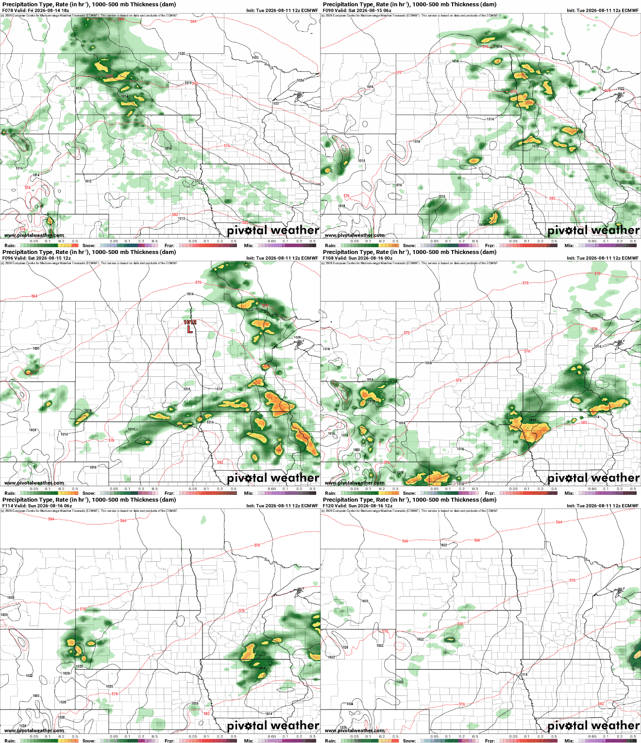
Unfortunately, forecast models are backing off total rainfall amounts Friday into Saturday. There could be some lucky pockets of 1 inch or more of rain in far southern and north-central Minnesota but most will see less, especially across central Minnesota.

That system should clear out of here for Sunday and Monday with sunshine and pleasant weather returning.


