
Showers looking more limited. You'll need the sprinkler
Saturday and Tuesday raindrops are lighter, broad level
Go Deeper.
Create an account or log in to save stories.
Like this?
Thanks for liking this story! We have added it to a list of your favorite stories.


Central and northern Minnesota have the best chances for several rounds of showers Saturday. Sunday looks dry. A cooldown is expected into the middle of next week.
Rain chances Saturday
Far southern Minnesota woke to some sprinkles Friday morning, but otherwise rain is limited. We could have a few more isolated rumbles of thunder. It’s about time to unfurl the garden hose. Soil moisture across much of Minnesota is really low.
Friday evening’s weather will be beautiful for most of Minnesota. The mosquito count is pretty low, air quality remains excellent and water temperatures are fairly mild at 69 to 75 degrees in most Minnesota lakes.
Be really careful on Lake Superior. Outside of the breakwaters, there is some serious chop and even a beach hazard statement for strong rip currents.
Turn Up Your Support
MPR News helps you turn down the noise and build shared understanding. Turn up your support for this public resource and keep trusted journalism accessible to all.


Saturday’s long been the main event for rain chances this week. I think central and northern have by far the best chances of a solid round or three of showers on Saturday, from midday through evening.
It will be colder as a consequence in northern Minnesota. The map below from the National Oceanic and Atmospheric Administration’s Global Forecast System shows that trend.

Friday afternoon data from the European Centre for Medium-Range Weather Forecasts does show several tenths of an inch of rain all across Minnesota on Saturday. If we can muster rain around the Cities, it’s most likely in the morning.
We do expect some clearing for the southern half of Minnesota Saturday, hence the much-warmer conditions in southern cities. Sunday dries out across most of the region, and the heat dome begins to show some signs of cracking.
We’ve really been spared from the latest heat wave. The weather was much, much hotter farther south of Iowa.

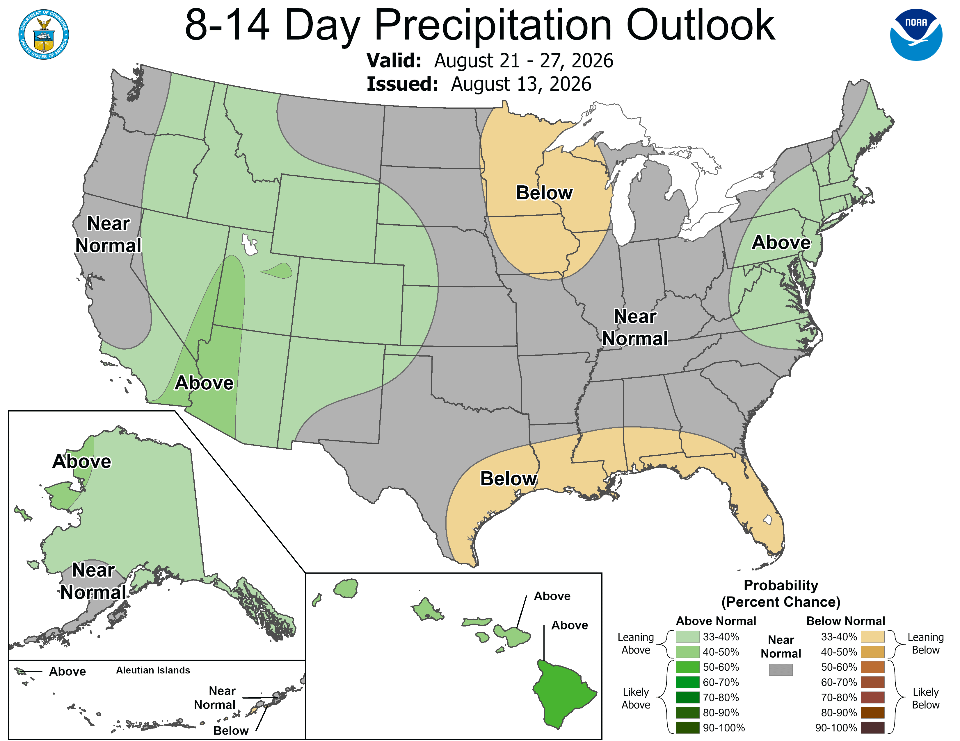
Monday night through next Wednesday morning is my big hope for heavier rains. I say that because I’ve been burned by wishcasting for drought-clearing rains before. This far out, big synoptic systems are never a guarantee but the weather maps have long held rain.
The front is likely to arrive in northwestern Minnesota on Monday evening, stalling out in the middle of Minnesota overnight into Tuesday morning. Then it blows through on Wednesday. If you’re wanting rain, this would be an ideal setup for you.
That also sets up a secondary cooldown into the middle of next week. Have a great weekend!

