
Scattered storms Saturday, brief break Sunday before more active weather arrives
Dew points drop into the 50s and 60s

Go Deeper.
Create an account or log in to save stories.
Like this?
Thanks for liking this story! We have added it to a list of your favorite stories.


Scattered to widely numerous showers and thunderstorms develop as a weak cold front pushes eastward from the Dakotas. Behind the front, Sunday brings sunshine and more comfortable dew points.
Storms Saturday night, splendid Sunday ahead
Lightning and brief heavy rain will be the main concerns with Saturday night’s storms, while the overall severe weather threat remains low. A few stronger wind gusts are possible, mainly with storms developing across western Minnesota.
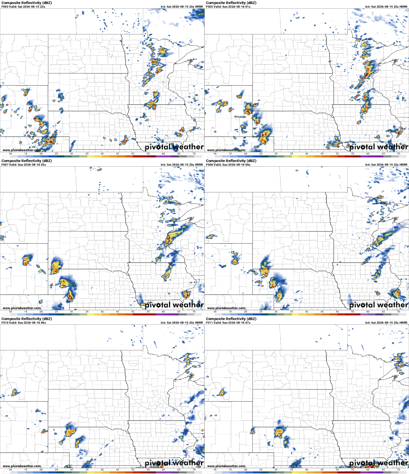
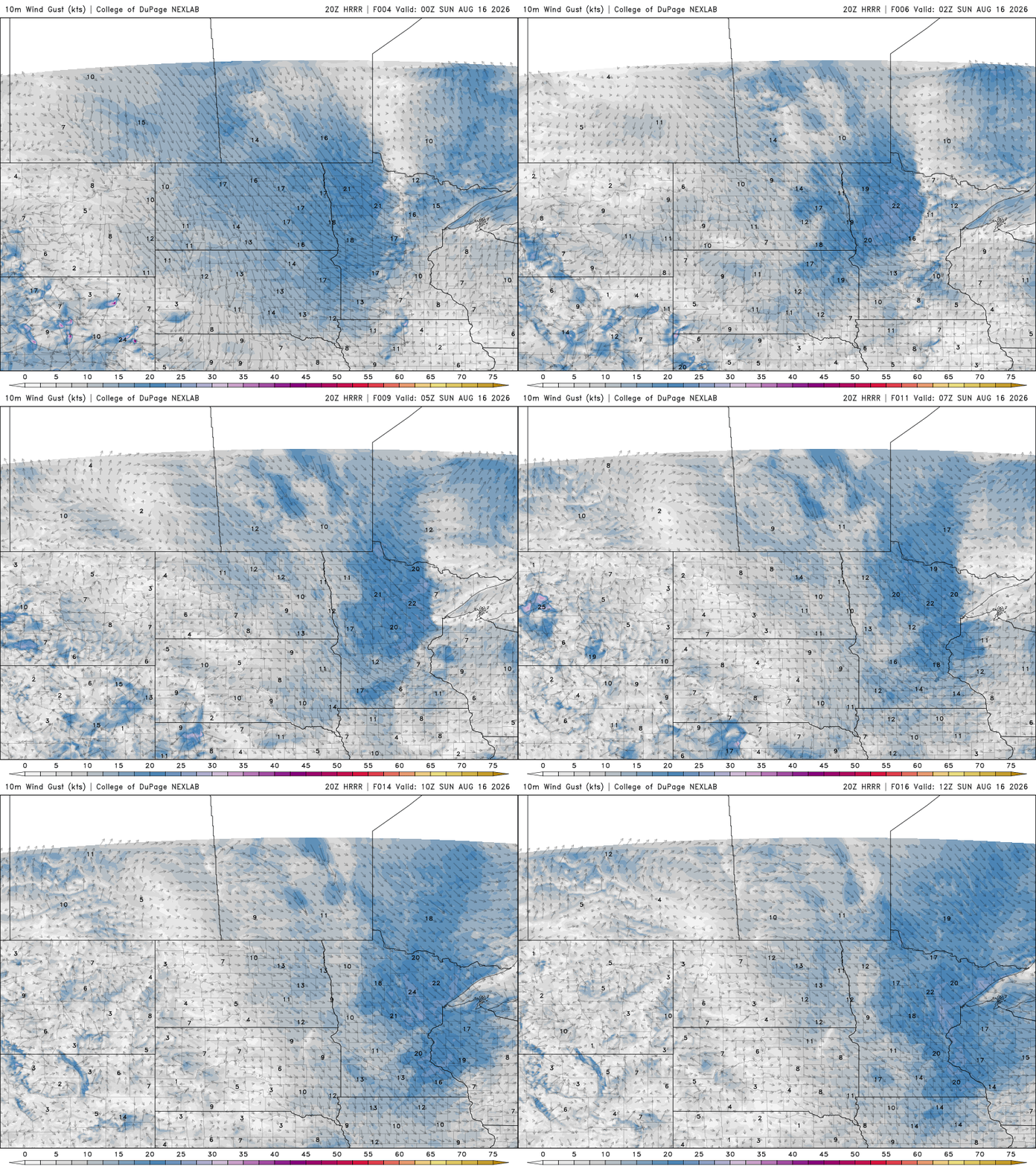
Once the cold front moves through overnight, winds will shift to the northwest and bring in noticeably drier air. Sunday is shaping up to be the pick of the weekend, with plenty of sunshine, comfortable humidity and temperatures close to the seasonal average for mid-August.

Northwest winds could occasionally gust to around 20 mph, but otherwise, Sunday should offer a welcome break from the unsettled weather.
The quiet weather won't last long. Shower and thunderstorm chances return Monday into Tuesday as another upper-level disturbance and cold front approach the region.
The better opportunity for storms arrives late Monday into Tuesday as a stronger cold front moves southwestward. Some severe weather potential may develop with this system, although the latest forecast models suggest the greater threat could be farther south, especially across Iowa, rather than southern Minnesota.
Temperatures cool slightly into the 70s for the middle of the work week.
Turn Up Your Support
MPR News helps you turn down the noise and build shared understanding. Turn up your support for this public resource and keep trusted journalism accessible to all.

