
Pleasant Sunday ahead with lower dew points and sunshine
Storm chances return late Monday and Tuesday

Go Deeper.
Create an account or log in to save stories.
Like this?
Thanks for liking this story! We have added it to a list of your favorite stories.


Seasonal temperatures, increased sunshine and drier air for our Sunday before the next round of showers and thunderstorms arrives Monday night into Tuesday.
Pleasant Sunday ahead
Sunday is shaping up to be one of the quieter days of the forecast. Behind our frontal passage, dew points will fall into the upper 50s as noticeably drier air moves in from the northwest.
Clouds should continue decreasing through the day, with afternoon highs reaching the upper 70s to around 80 degrees.

Much of Monday should remain pleasant as temperatures climb into the 70s north and low 80s south. However, the next disturbance moving through will bring increasing chances for showers and thunderstorms Monday evening and overnight.
Turn Up Your Support
MPR News helps you turn down the noise and build shared understanding. Turn up your support for this public resource and keep trusted journalism accessible to all.
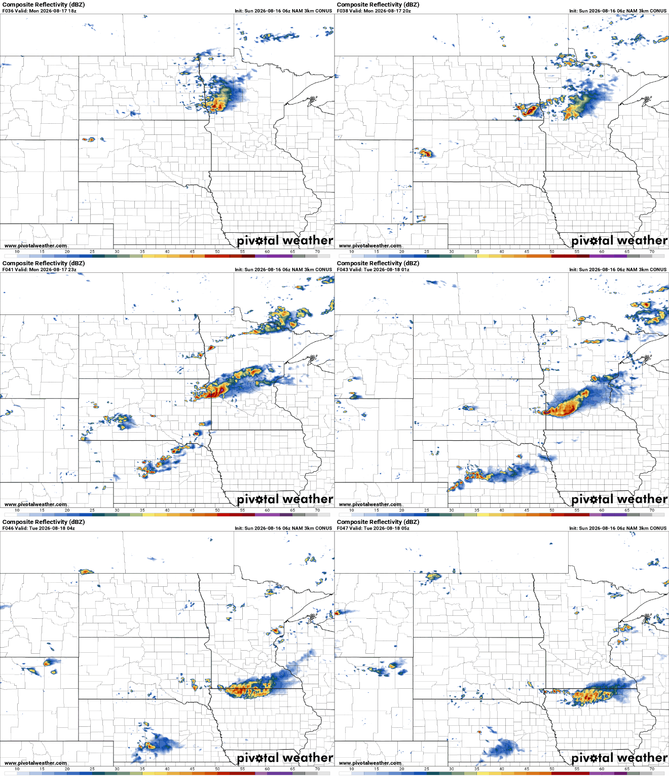
The first round is expected to be relatively scattered, with isolated to scattered showers and storms possible Monday night into Tuesday morning.
The latest Storm Prediction Center outlook shows thunderstorms possible across much of Minnesota Monday, with a slight risk for severe storms in southwestern Minnesota and a broader Marginal Risk extending from central Minnesota into the southern half of the state.

A second opportunity for showers and storms arrives Tuesday as a cold front advances southeastward, providing another focus for thunderstorms, particularly Tuesday evening and Tuesday night.
Once the Tuesday system moves through, the overall weather pattern becomes quieter. That pattern should bring generally fair and quiet conditions for the second half of the week. There is a low-end chance for rain Thursday afternoon or evening, but widespread precipitation is not currently expected.
Temperatures should remain remarkably consistent, with highs hovering in the 70s north and around 80 degrees in the south through the remainder of the workweek and into next weekend.


