
Seasonable weather holds this week with storm chances returning
Heavier rain showers will fall in the Upper Midwest

Go Deeper.
Create an account or log in to save stories.
Like this?
Thanks for liking this story! We have added it to a list of your favorite stories.


Pleasant, seasonable weather will continue into Monday, with comfortable temperatures and lower humidity. However, showers and thunderstorms will return Monday night as our next weather system moves into the region.
Highs should climb into the mid-70s north, and upper 70s to lower 80s south, making for a nice day before our next round of unsettled weather arrives.

Ahead of a cold front, scattered showers and thunderstorms are expected to develop across the Dakotas and far-western Minnesota late afternoon Monday into the early evening before spreading eastward later Monday night.
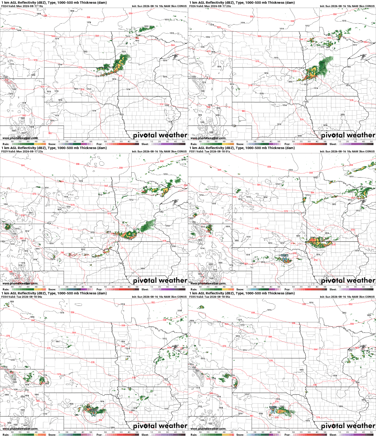
Some storms could become strong to severe, with large hail and powerful wind gusts being the primary concerns. The Storm Prediction Center has placed southwestern Minnesota in a slight risk for severe weather Monday evening.

The cold front will continue pushing south through Minnesota and Wisconsin on Tuesday, bringing another round of scattered showers and thunderstorms during the afternoon and evening. Some of these storms could produce locally heavy rainfall, but current forecast guidance suggests the heaviest rain will likely remain focused across Iowa.

The weather pattern becomes much quieter beginning Wednesday as dry northwest flow takes over. Most of Wednesday through the weekend looks dry, with temperatures holding close to seasonal norms.
Turn Up Your Support
MPR News helps you turn down the noise and build shared understanding. Turn up your support for this public resource and keep trusted journalism accessible to all.

