
Lingering instability Tuesday with another chance of rain late week
Temps and dew points will dip a bit midweek
Go Deeper.
Create an account or log in to save stories.
Like this?
Thanks for liking this story! We have added it to a list of your favorite stories.


Southern Minnesota will see some lingering instability with a few showers and thunderstorms Tuesday. Temperatures and dew points will dip midweek slightly.
Lingering instability Tuesday with another chance of rain late week
Temperatures will be a bit cooler Tuesday thanks to more clouds around and some lingering instability as our recent cool front continues its slow advance south and southeast. Highs will be mostly in the 70s and just the low 70s north.

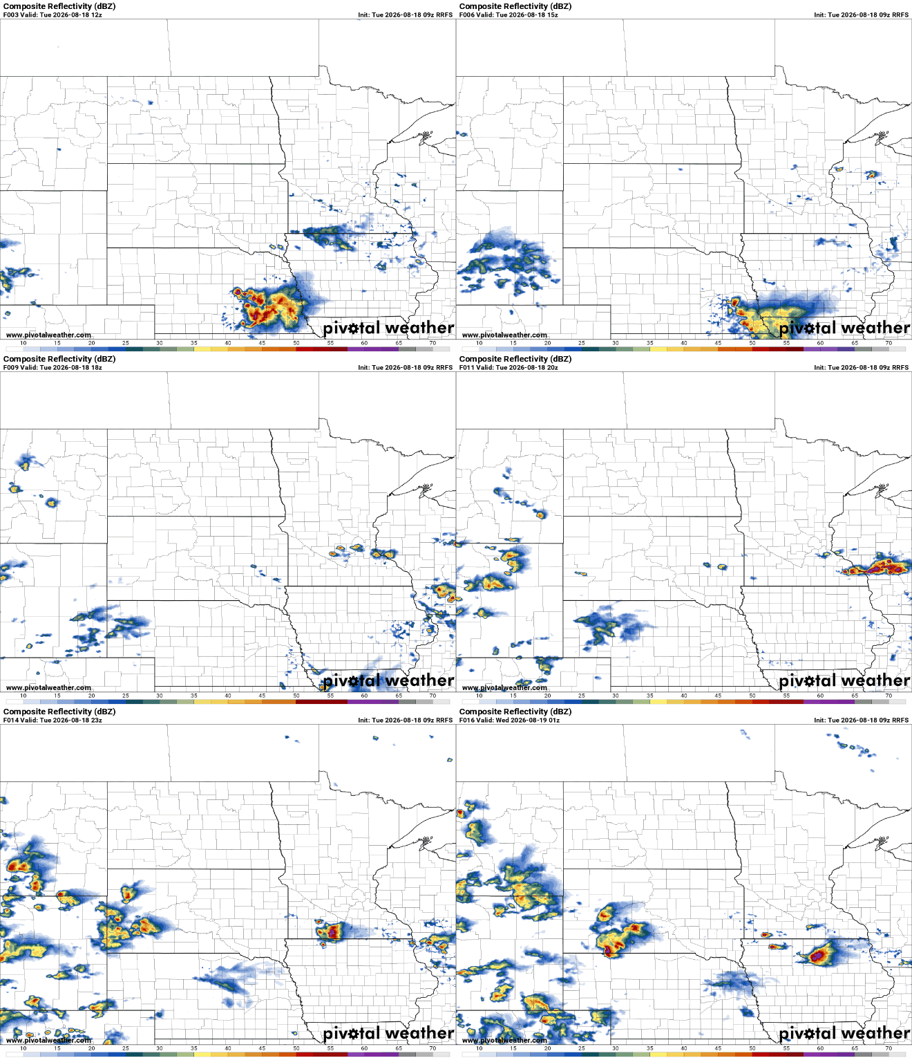
We have a few lingering showers and thunderstorms Tuesday morning across southern Minnesota and we could see a few additional, pop-up showers and thunderstorms midday into the afternoon and evening Tuesday. Northern Minnesota should remain dry.
There is a pretty low, just marginal (level 1 of 5) severe risk for far southern Minnesota Tuesday with any storms that do develop.
Turn Up Your Support
MPR News helps you turn down the noise and build shared understanding. Turn up your support for this public resource and keep trusted journalism accessible to all.

High pressure moves in for Wednesday bringing back bright skies and slightly cooler temperatures and lower dew points. Highs Wednesday will be in the 70s for most of the state with dew points falling into the 50s and even 40s in northern Minnesota.

Temperatures and dew points will increase slightly again already Thursday and Friday ahead of a cool front as south winds kick back in across much of the region.
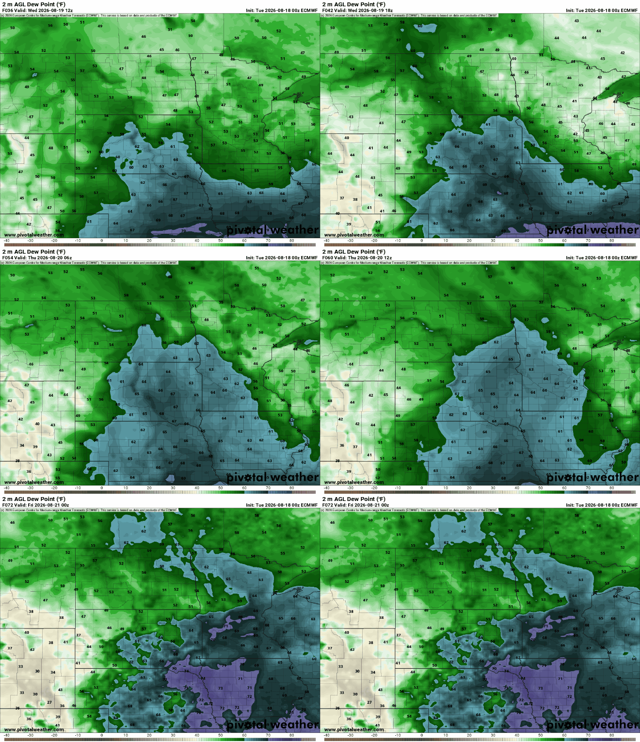
Temperatures will warm again ahead of the next cool front. Highs Thursday and Friday will be back in the low to mid-80s in southern Minnesota.

That front will touch off the next chance of at least some spotty showers and thunderstorms starting Wednesday night for northern Minnesota into Thursday and Thursday night farther south, but once again any significant moisture will be heavily localized.
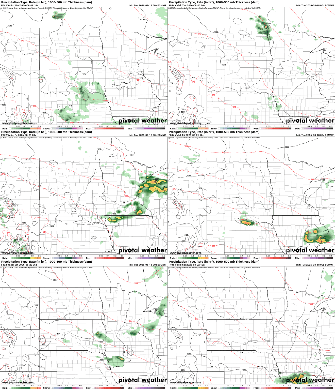
Rainfall will once again be spotty and sparse and not very substantial. Most areas of the state will receive a half-inch or less in total rainfall through this week.

Behind the front we’ll see another slight dip in temperatures and dew points for what looks to be a pretty nice weekend. Highs Saturday and Sunday will be mostly in the 70s to near 80 degrees.


