
High pressure makes for a nice Wednesday
More spotty storms possible already Thursday
Go Deeper.
Create an account or log in to save stories.
Like this?
Thanks for liking this story! We have added it to a list of your favorite stories.


High pressure has pushed out muggy air and will make for a nice Wednesday for most. Warmer and more muggy air moves back in Thursday ahead of the next front and spotty storm chance.
High pressure makes for a nice Wednesday ahead of next spotty storm chance
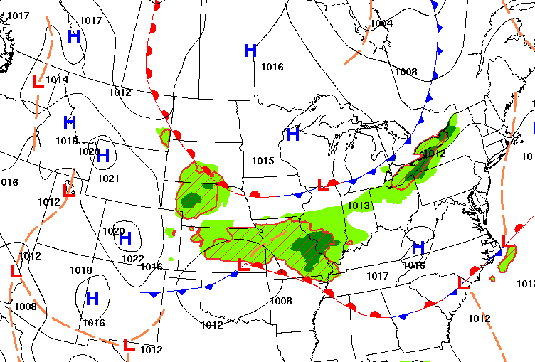
In the wake of Tuesday’s cool front, surface high pressure has taken control for most of Minnesota. It also led to the coolest morning in nearly two months for many. Tower, on Minnesota’s Iron Range dipped to 33-degrees. That’s their coldest reading since May 21 when they last slipped to 33. Hibbing and International Falls saw a low of 38-degrees. In the Twin Cities, we even reached 57-degrees, a temperature we hadn’t seen since June 25.

We’ll see quite a bit of sunshine with some afternoon fair-weather cumulus clouds. Afternoon highs will be in the 70s for most with a few low 80s in the Twin Cities and the Red River Valley. Dew points will drop into the 40s north and 50s south, making for a very comfortable air mass.

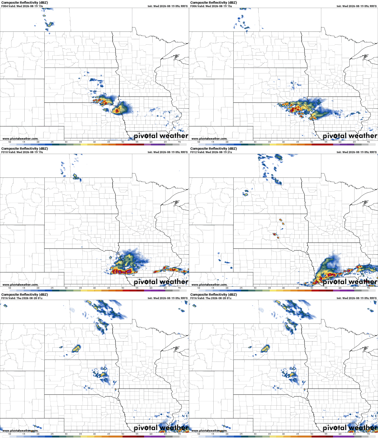
An isolated, pop-up shower or thunderstorm is possible in southwest Minnesota, closer to the stalled front with some lingering instability. Most will stay dry, however, today.
Turn Up Your Support
MPR News helps you turn down the noise and build shared understanding. Turn up your support for this public resource and keep trusted journalism accessible to all.
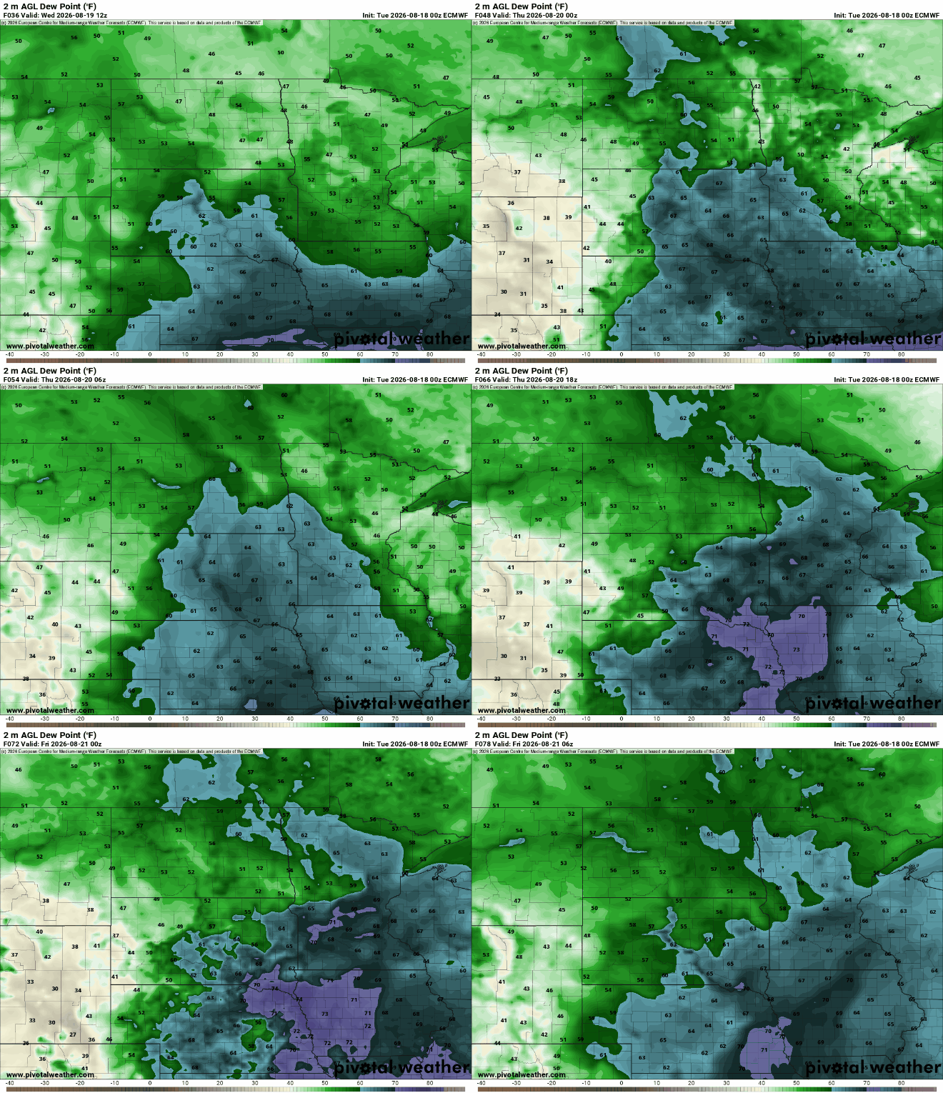
Temperatures and dew points will already increase again Thursday as south winds develop ahead of the next cool front, on the back side of Wednesday’s high pressure.
This will set the stage for the next chance of spotty showers and thunderstorms. Northern Minnesota will already see a few thunderstorms possible Wednesday night into early Thursday with the better chance south late Thursday into Thursday night.
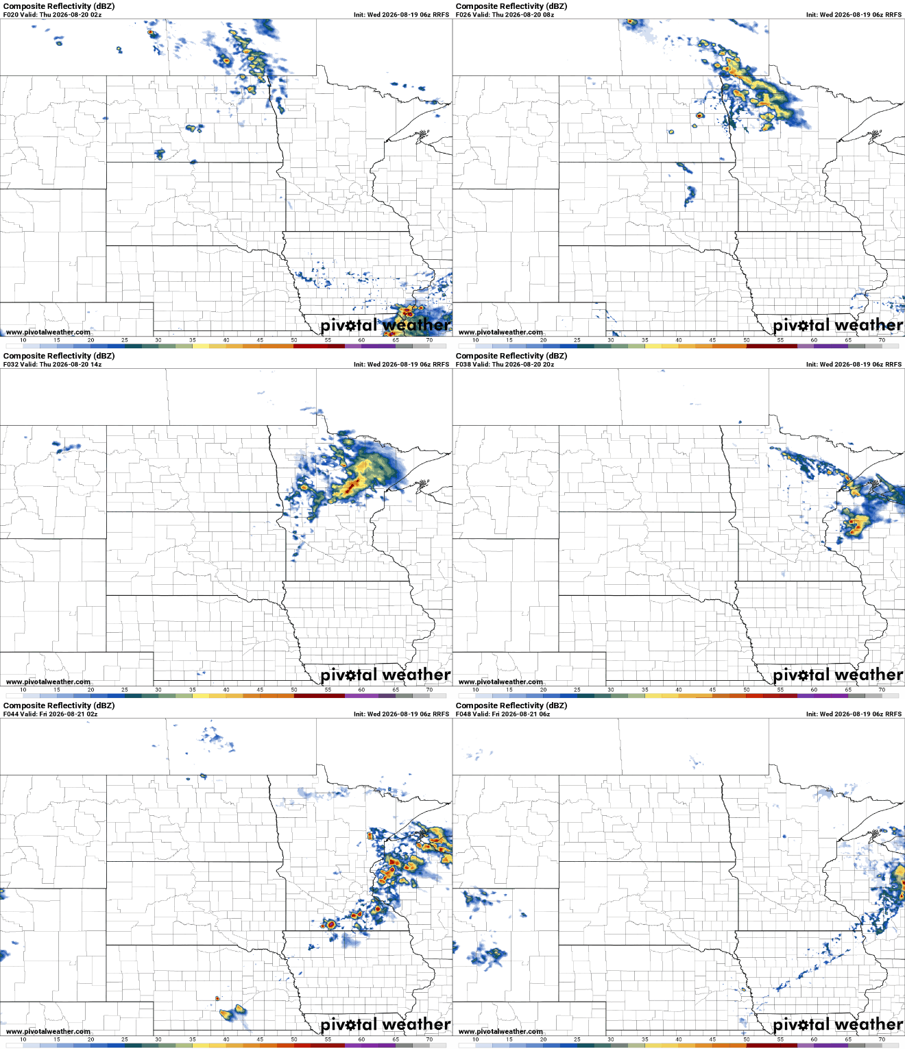
There’s a marginal severe risk (level 1 of 5) for central and southern Minnesota Thursday. The main threat would be some isolated large hail or damaging wind gusts in one or two storms.

There could be some lingering instability Friday afternoon and evening, especially in northern Minnesota where a few pop-up thunderstorms are possible. There’s even a slight chance we see one or two in the Twin Cities and western Wisconsin.
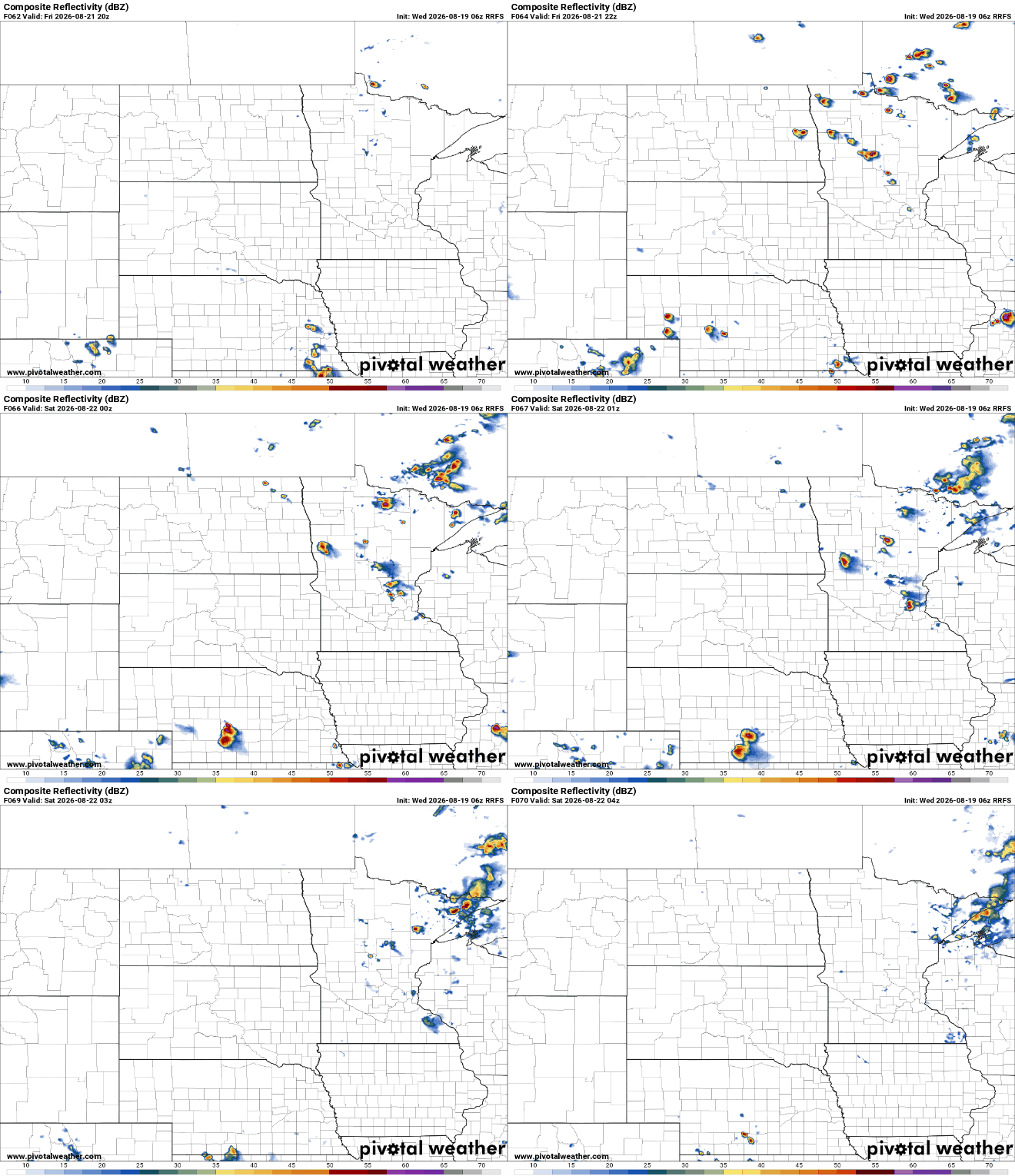
On the other side of the cool front, temperatures and dew points will dip once again for the weekend. It’s looking like a pretty nice weekend with sunshine and highs mostly in the 70s to near 80 degrees.
Another chance of thunder develops by Monday into Tuesday of early next week.

