Rain will be spotty on Friday, weekend is quiet
Go Deeper.
Create an account or log in to save stories.
Like this?
Thanks for liking this story! We have added it to a list of your favorite stories.


Well, everybody’s heard that the bird is the word!
Buoyed by post-frontal winds that come out of the north-northwest, migrating birds have been surfing those same winds, heading south for the cold stretch ahead. Just last night, Cornell’s BirdCast estimated nearly 250,000 migrating birds over Hennepin County alone.
Friday night, we expect around 230 million flying through the lower 48 states. Minnesota is the epicenter of bird migration.
This superhighway of birds even has a name: the Mississippi Flyway!
Turn Up Your Support
MPR News helps you turn down the noise and build shared understanding. Turn up your support for this public resource and keep trusted journalism accessible to all.

There are a bunch of warbler species, which some weigh less than a ping-pong ball. We also have indigo buntings (one of my favorite birds for their vivid colors), flycatchers, orioles, and something called a redstart. That’s all according to the Cornell bird experts.
This is pretty early in migration season, but the weather is just right. If you have plans to be outside, especially near marshy areas, you’re practically guaranteed to at least hear some birds.
I know some of you are thinking: “Enough about the birds already! Just give me the weekend forecast.”

Weekend planner
If you can get out of work early Friday, the weather is pretty incredible. Behind the same front drawing the birds, we have lower humidity.
We still look to have some storms firing up over Lake of the Woods Friday afternoon, after 4 p.m., but the storms are not as linear nor widespread as they’d looked before.
Our best opportunity for some evening storms stretches from International Falls to Hibbing and Duluth. We really need that rain in this area, even if it is a Friday.


As you can see above, there is a little chill in the air by August standards, coming in for Saturday. We’ll have widespread lows in the 50s, with temperatures around 60 degrees in the Twin Cities for Saturday morning’s coffee run.
By the afternoon, we’re dry with sunshine. Despite that, many in northeast Minnesota may not get out of the 60s!
Next rain chances
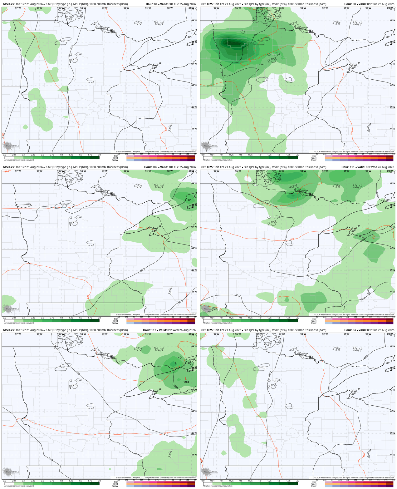
More rain comes for our region on Tuesday, with a low diving southeast out of Manitoba. The best chances of rain are early in the morning, as the front is fast moving.
On the heels of that surface front could be an upper level low (ULL). This, being potentially cut-off from the surrounding currents, could linger a little deeper into the workweek. That would actually be great news for rain chances, but only if that verified!
Look ahead to the State Fair skies
Let’s get ready for the Minnesota State Fair. Before the Great Get Together at the end of next week, temperatures will go back up. The 90s are fairly unlikely right now, but it will be quite warm (shorts weather) at the fair.
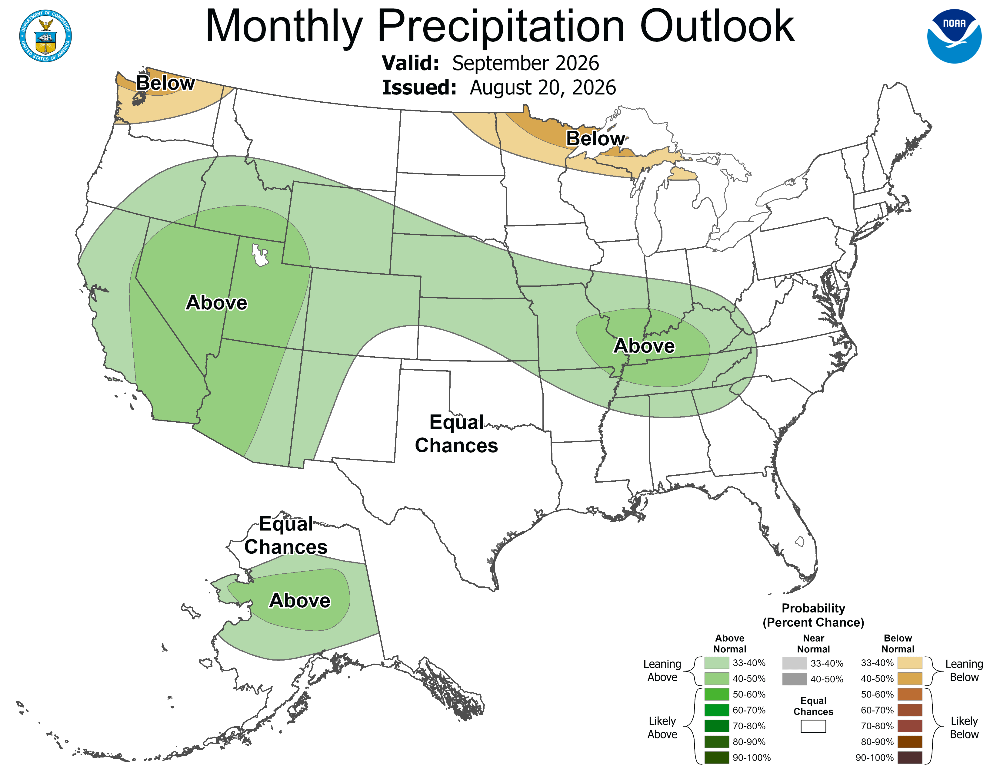
After that, the new September outlook features some drier-than-expected weather for far northern and northeastern Minnesota.