
Slightly cooler and drier air moves in for a nice weekend
Temperatures will warm back above normal next week
Go Deeper.
Create an account or log in to save stories.
Like this?
Thanks for liking this story! We have added it to a list of your favorite stories.


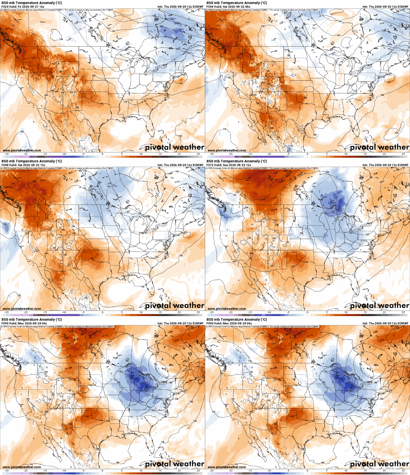
Cooler and drier air will be moving in Friday and into the weekend. Dew points will drop through the day Friday and there will be some isolated thunder north. Temperatures are back above normal next week.
Slightly cooler and drier air moves in for a nice weekend
Once again, rainfall was spotty and highly localized yesterday. There were two pockets of significant rainfall around Mille Lacs Lake and the Ely area. In those spots up to almost 2 inches of rain fell. Ely received 1.74 inches and Isle saw 1.41 inches. There were also several hail reports in central Minnesota from evening thunderstorms.

We have a very pleasant Friday and nice weekend shaping up. Afternoon highs Friday will be in the low 80s across most of central and southern Minnesota with mid-70s north and partly cloudy skies for all.

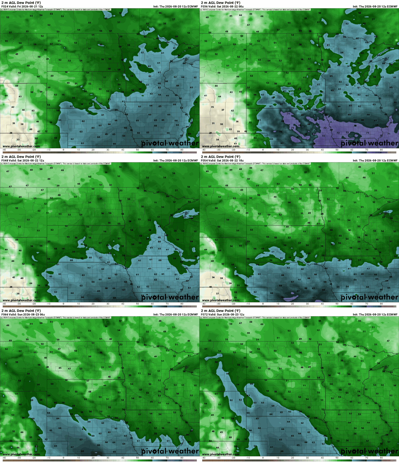
Dew points will start muggy, in the 60s, but fall through the day Friday to comfortable readings, in the 50s, by the evening and into the weekend.
Turn Up Your Support
MPR News helps you turn down the noise and build shared understanding. Turn up your support for this public resource and keep trusted journalism accessible to all.
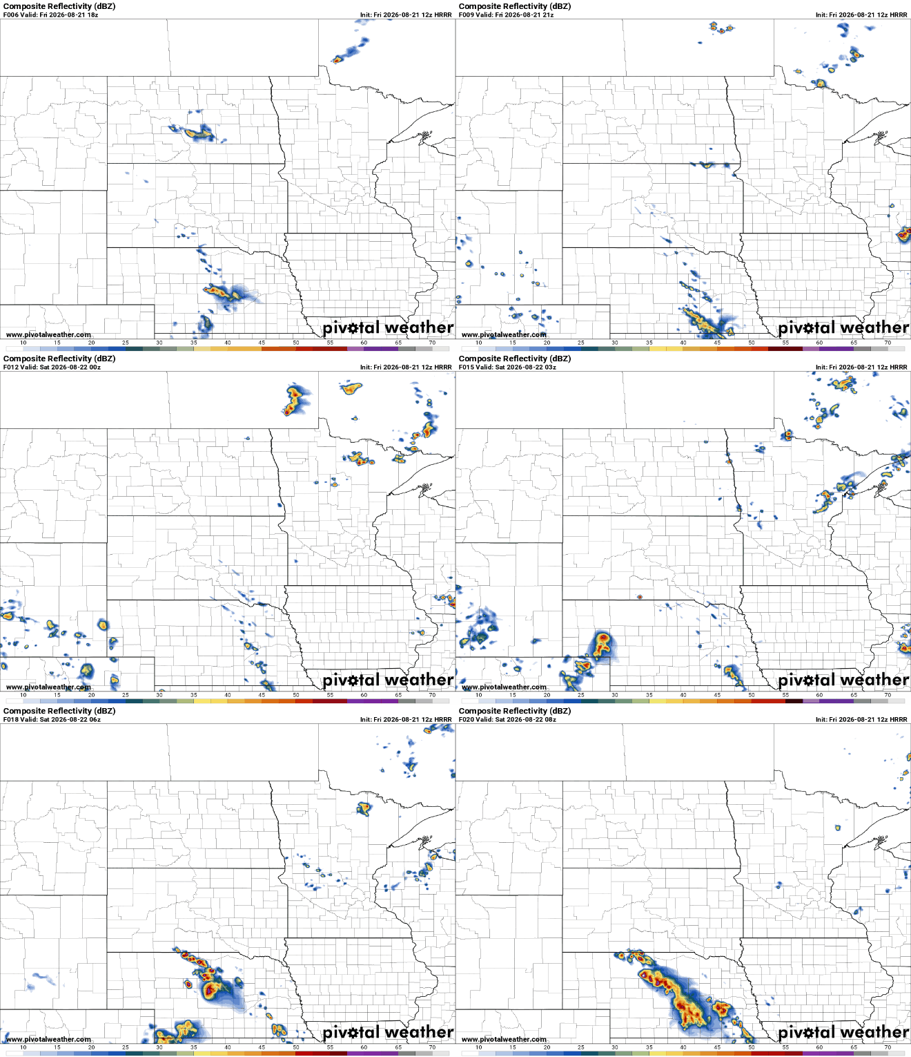
There will be some lingering instability as temperatures cool off aloft, especially in northern Minnesota. Look for a few isolated to spotty showers and thunderstorms, mainly north this afternoon and evening. One or two could make their way into the Twin Cities by evening or after dark.
The weekend will be absolutely gorgeous for this second-to-last one of August and meteorological summer. We’ll see sunshine both Saturday and Sunday with a few high clouds Sunday. Afternoon highs will be in the 70s for most to near 80 degrees in the Twin Cities and pockets of the Red River Valley.

There will be some cool overnights also, especially Saturday and Sunday nights, with lows in the 40s in northeast Minnesota and 50s to near 60 degrees, south.
The next chance at any spotty precipitation is late Monday into Tuesday though it looks fairly unimpressive.
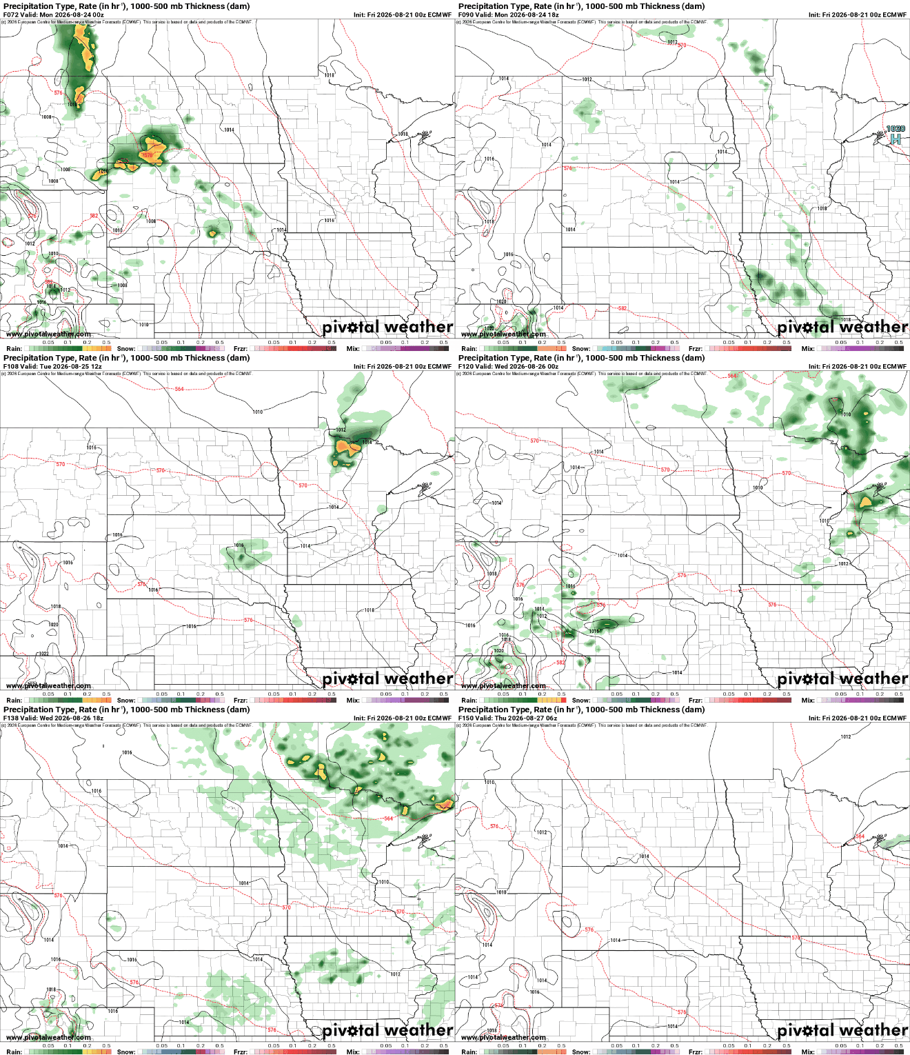
Total rainfall will be pretty sad unfortunately over the next 7 days. Perhaps only southwest Minnesota will see any precipitation of significance. Minnesota’s stubborn drought is likely to stick around for some time.

Overall, temperatures will be trending upward, to above-normal readings next week. The normal high in the Twin Cities slips below 80 by Wednesday.

