
Cool night on tap before pleasant Sunday
Low temperatures in the 40s and 50s with winds diminishing

Go Deeper.
Create an account or log in to save stories.
Like this?
Thanks for liking this story! We have added it to a list of your favorite stories.


High pressure overhead will bring clear skies and light winds Saturday night, allowing for efficient cooling with overnight temperatures in the 40s and 50s.
Cool night, followed by pleasant Sunday
High pressure will keep our skies mostly clear Saturday night, allowing temperatures to cool efficiently. Winds will diminish and with clear skies, temperatures will fall into the mid-40s to mid-50s.

Sunday will bring another pleasant day, with temperatures warming into the upper 70s and low 80s, with comfortable dew points and lighter winds.

By Sunday night, clouds will increase ahead of a system moving out of the High Plains. A few rain showers could reach parts of the southern Minnesota River Valley Sunday night into Monday morning.
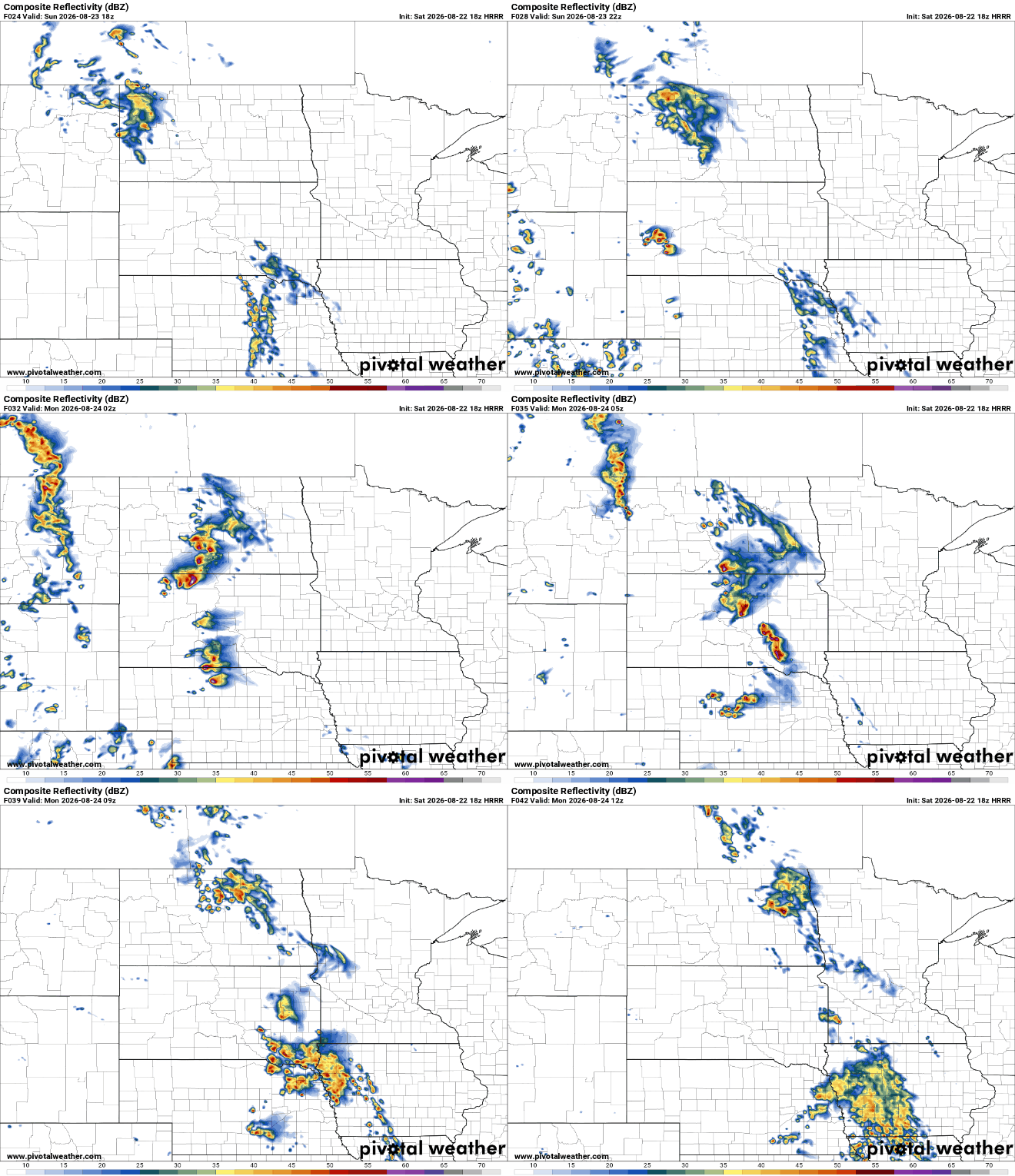
The more widespread weather-maker arrives Monday night into Tuesday as a shortwave moves across the Canadian Prairies. An associated low-pressure system and its fronts will provide some instability needed for rain across a broader portion of the region. Let’s keep our fingers crossed that we can see some widespread rain showers.
Turn Up Your Support
MPR News helps you turn down the noise and build shared understanding. Turn up your support for this public resource and keep trusted journalism accessible to all.

