
Lingering instability Tuesday along a cool front
Cooler, more comfortable air moves in Wednesday and Thursday

Go Deeper.
Create an account or log in to save stories.
Like this?
Thanks for liking this story! We have added it to a list of your favorite stories.


Some lingering morning showers and thunder will dissipate Tuesday morning, but more thunderstorms could redevelop later in the day. Cooler, drier air moves back in midweek along with sunshine.
Lingering instability Tuesday along a cool front followed by cooler air
Some scattered, lingering showers and thunder early Tuesday will continue to track east and southeast and dissipate in northeastern Minnesota. We should see clearing skies Tuesday morning into midday and afternoon.
Some sun and warmth along with muggy dew points and an advancing cool front could trigger more spotty thunder late Tuesday afternoon and evening, especially north and east.
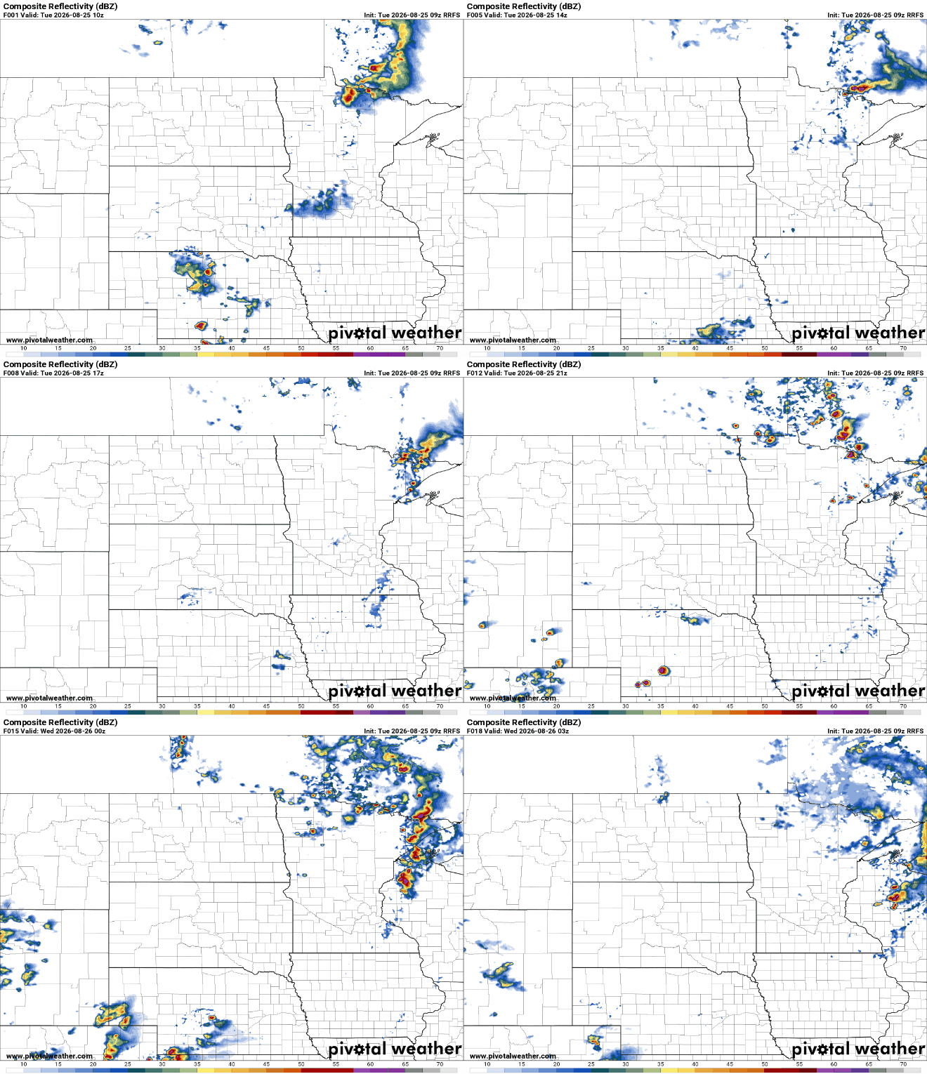
Whatever storms do develop could pack a severe risk. There’s a slight (level 2 of 5) severe risk for Tuesday for northeastern Minnesota and northwestern Wisconsin and a marginal (level 1 of 5) risk elsewhere in eastern Minnesota.
Turn Up Your Support
MPR News helps you turn down the noise and build shared understanding. Turn up your support for this public resource and keep trusted journalism accessible to all.
Some isolated large hail and damaging wind gusts would be the main threats.
Sandwiched in between rain and storm chances we’ll see highs in the mid-80s across much of central and southern Minnesota, above normal by several degrees.

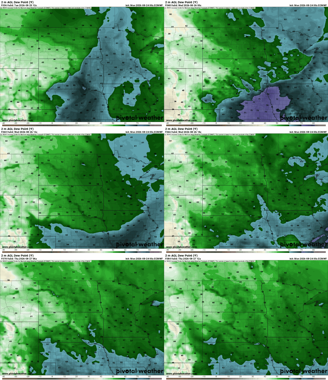
Behind the cool front, dew points and temperatures will dip once again for Wednesday and Thursday. We’ll see dew points back in the 50s by late Wednesday into Thursday along with sunshine.
Highs Wednesday will be several degrees cooler, but still near or slightly above normal highs for this time of year.
There will be some lingering instability for mostly northeastern Minnesota, where a couple of pop-up showers or thunder will be possible again in the afternoon and evening Wednesday.

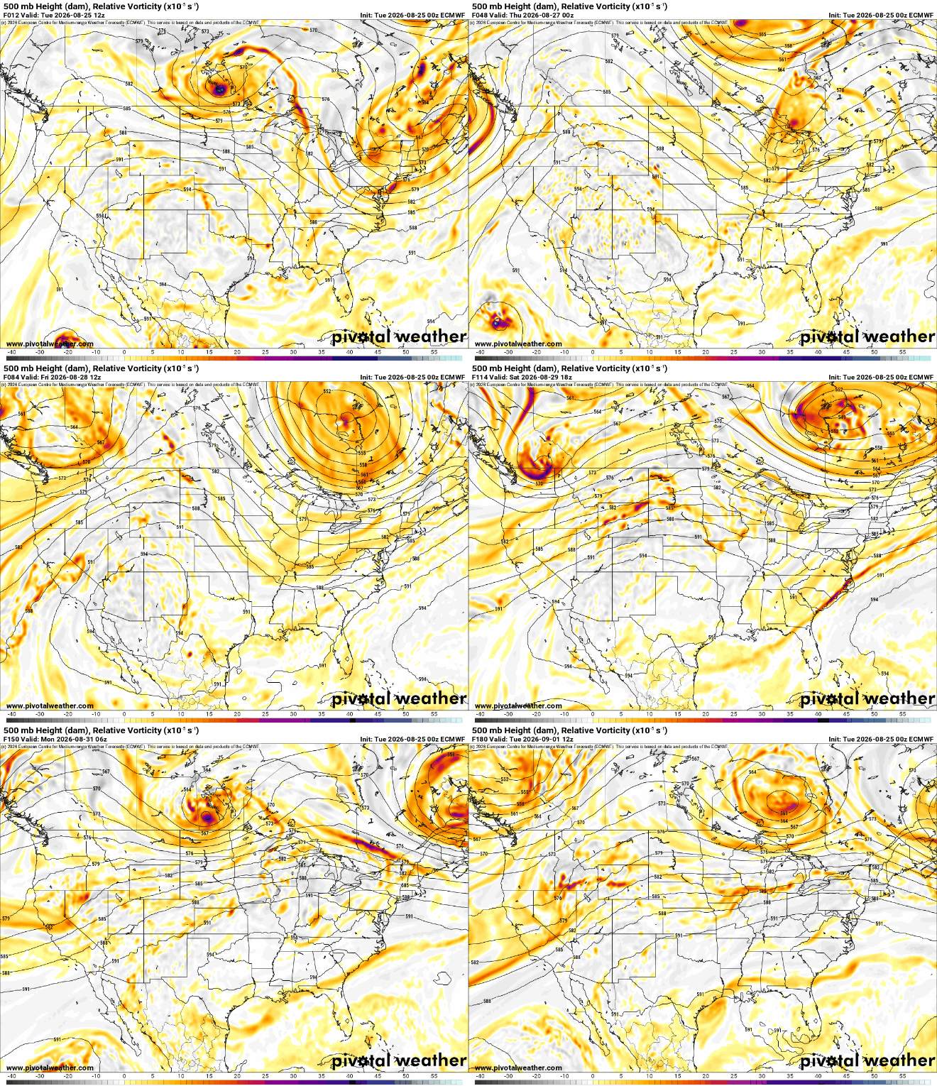
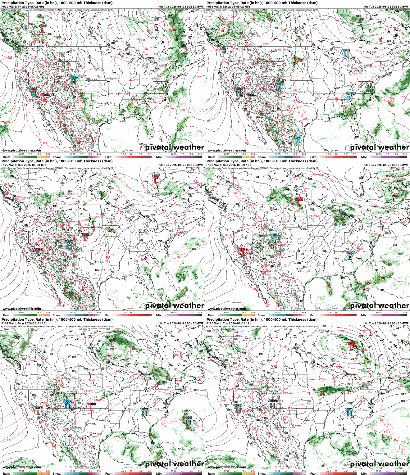
High pressure departs Friday and that will allow for “return flow” — southerly winds that bring back muggier dew points and warmer temperatures — late Friday into the weekend. That increase in moisture along with a series of fast-moving upper-level disturbances could touch off a few storm chances this weekend.
Timing and placing those storms is murky right now but we’ll get a better idea closer to the upcoming weekend. Plan on at least some spotty storms but by no means does the weekend look like a washout.
The first couple days of the Minnesota State Fair look great though with highs in the low to mid-80s and comfortable dew points along with dry weather both Thursday and Friday.

