
Cooler, breezy Wednesday with nice days ahead
Spotty storm chances return this weekend
Go Deeper.
Create an account or log in to save stories.
Like this?
Thanks for liking this story! We have added it to a list of your favorite stories.


Cooler, drier air is settling in after last night’s cool front passage. Look for a few beautiful days ahead. Spotty storm chances return this weekend along with muggier air again.
Cooler, breezy Wednesday with nice days ahead
We’ll have a cooler, breezy day Wednesday in the wake of Tuesday’s cool front. Look for highs to range from the low 70s north to low 80s for parts of central and southern Minnesota Wednesday afternoon. A northwest breeze at 10-20 mph will make it feel a bit cooler.

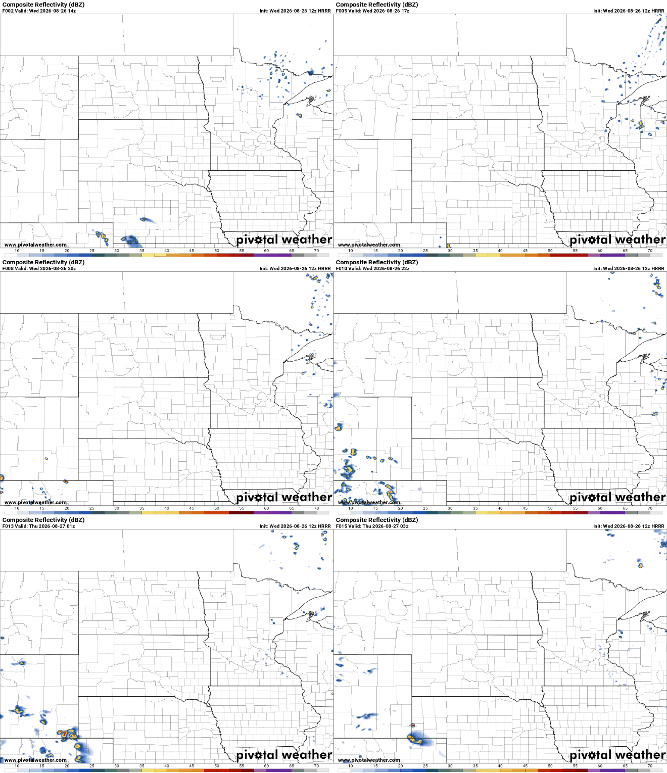
There will be some lingering instability due to cooler air aloft. This means some fair-weather cumulus clouds building midday Wednesday, making for partly cloudy skies and a few pop-up showers north.
Wednesday is also the last sunset at 8 p.m. or later. We won’t see a sunset this late again until April 17, so if you enjoy those long evenings, get outside.
Turn Up Your Support
MPR News helps you turn down the noise and build shared understanding. Turn up your support for this public resource and keep trusted journalism accessible to all.
The first two days of the Minnesota State Fair look gorgeous with highs in the low 80s and comfortable dew points mostly in the 50s along with plenty of sunshine both Thursday and Friday.

Muggier air in tandem with a series of fast-moving, upper-level disturbances will introduce the chance of at least some spotty storm chances over the weekend, but it will not be a washout.
The best chances appear to come Friday night into early Saturday and Saturday night into early Sunday at this point.
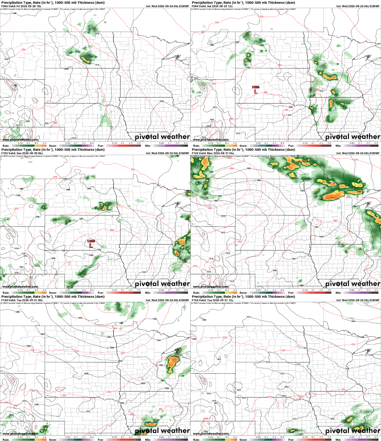
Don’t hold your breath for widespread, soaking rains, however. We remain in a stubborn drought pattern and total rainfall looks spotty and under the 1 inch per week necessary to maintain even normal weekly moisture levels.

Temperatures will be warmer again, well into the 80s along with dew points in the 60s to even near 70 degrees at times, making for an above-normal last weekend of August.

