
Beautiful couple of days before muggy air and storm chances return
The weekend will bring warmer temperatures, too
Go Deeper.
Create an account or log in to save stories.
Like this?
Thanks for liking this story! We have added it to a list of your favorite stories.


Thursday and Friday will be just about picture-perfect days for late August. Warmer, more humid air arrives for the weekend along with spotty thunder chances.
Beautiful couple of days before muggy air and storm chances return
It’ll be hard to beat the weather of Thursday and Friday. We’ll have lots of sun Thursday with highs in the 70s to low 80s for most of the state along with light winds, thanks to high pressure.

Look for a cool overnight with temperatures dipping into the 50s and 40s north. In fact, some spots on the Iron Range may slip into the 30s.

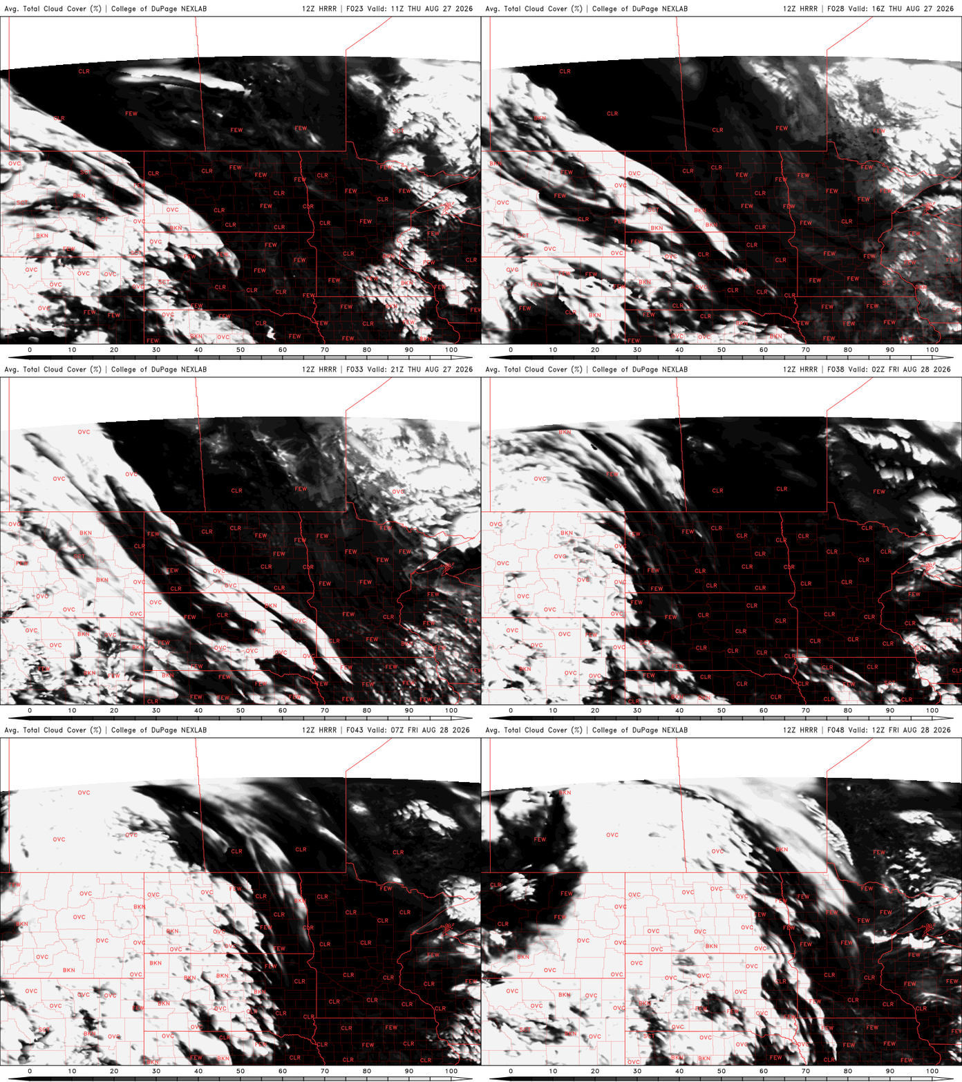
Friday will be a few degrees warmer but still comfortable. Some high clouds will begin to drive in later in the afternoon ahead of a disturbance for Friday night.
Turn Up Your Support
MPR News helps you turn down the noise and build shared understanding. Turn up your support for this public resource and keep trusted journalism accessible to all.

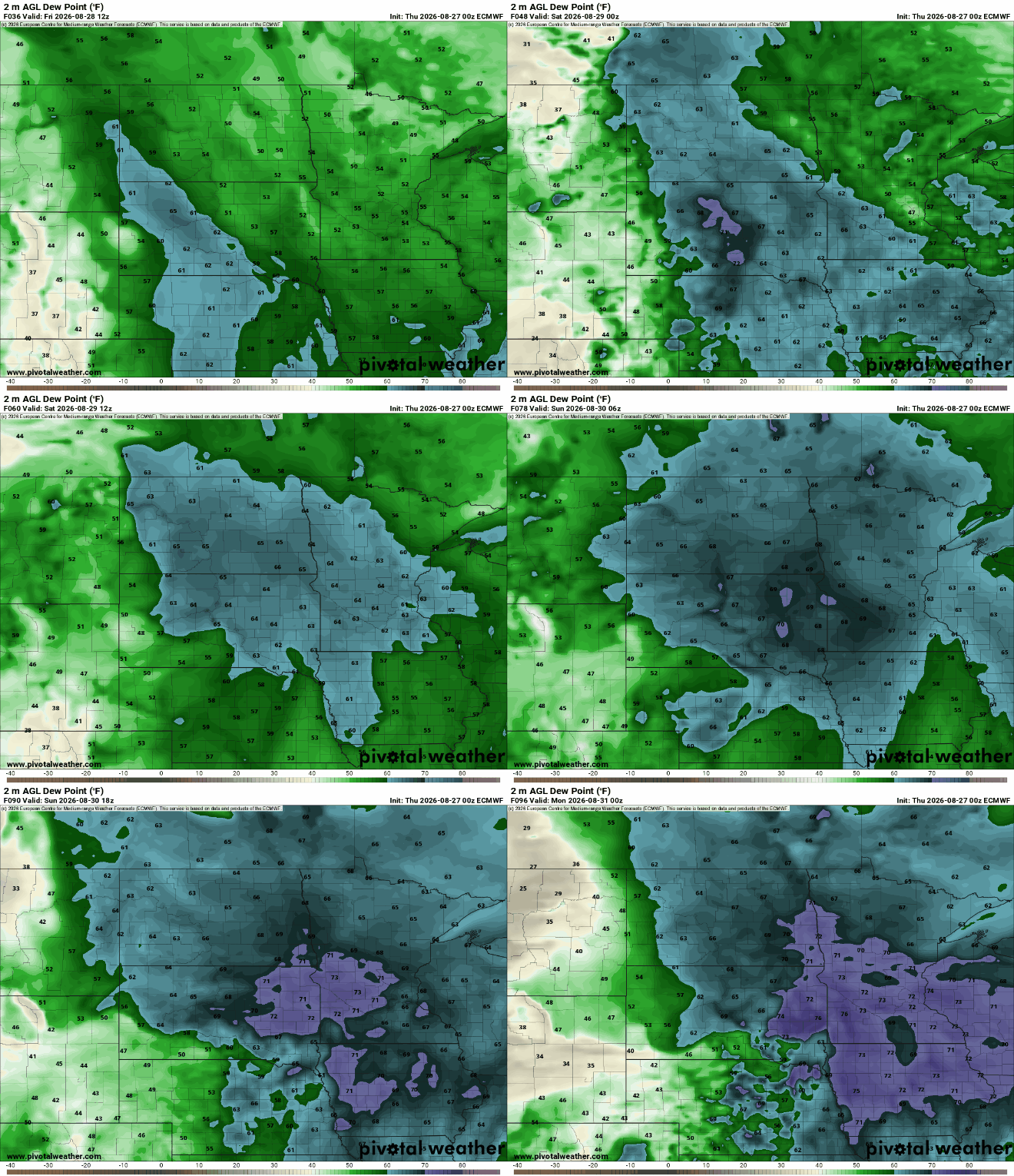
The warmer and more humid air moves back in starting Friday night already, increasing dew points to near 70 degrees by the weekend. That will provide ample moisture for any disturbance to produce at least some thunderstorms.
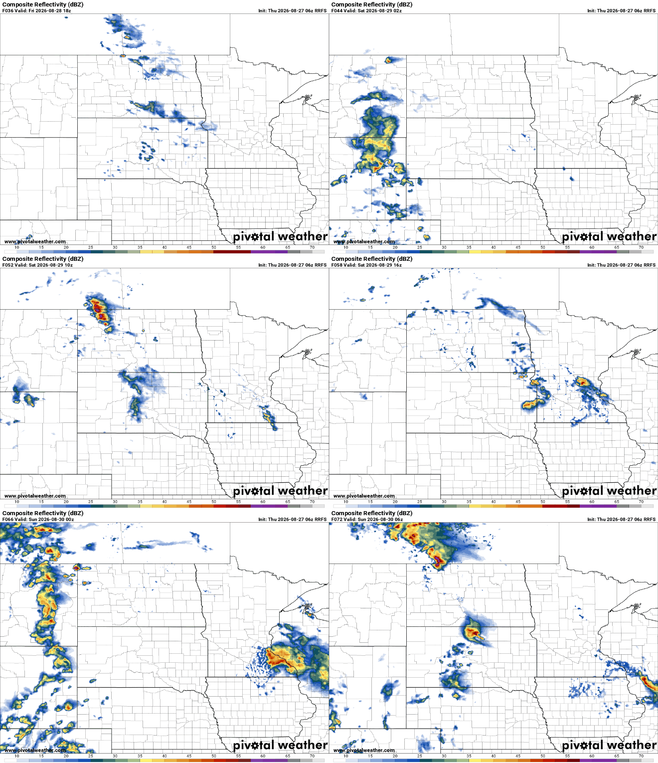
The first chance of at least some spotty or scattered showers and thunderstorms looks to develop Friday night into Saturday. The forecast models differ on timing and placement of rainfall so this is no guarantee of rain for anyone.
There will be additional chances of rain and thunder but trying to time and place those out is murky.
The European Centre for Medium-Range Weather Forecast model shows likely development Saturday night into early Sunday in northern Minnesota with potentially some redevelopment south on Sunday and further development Sunday night north.
There could be additional activity Monday night farther south. All of this is slightly different in each forecast model and will likely continue to change as we get closer.
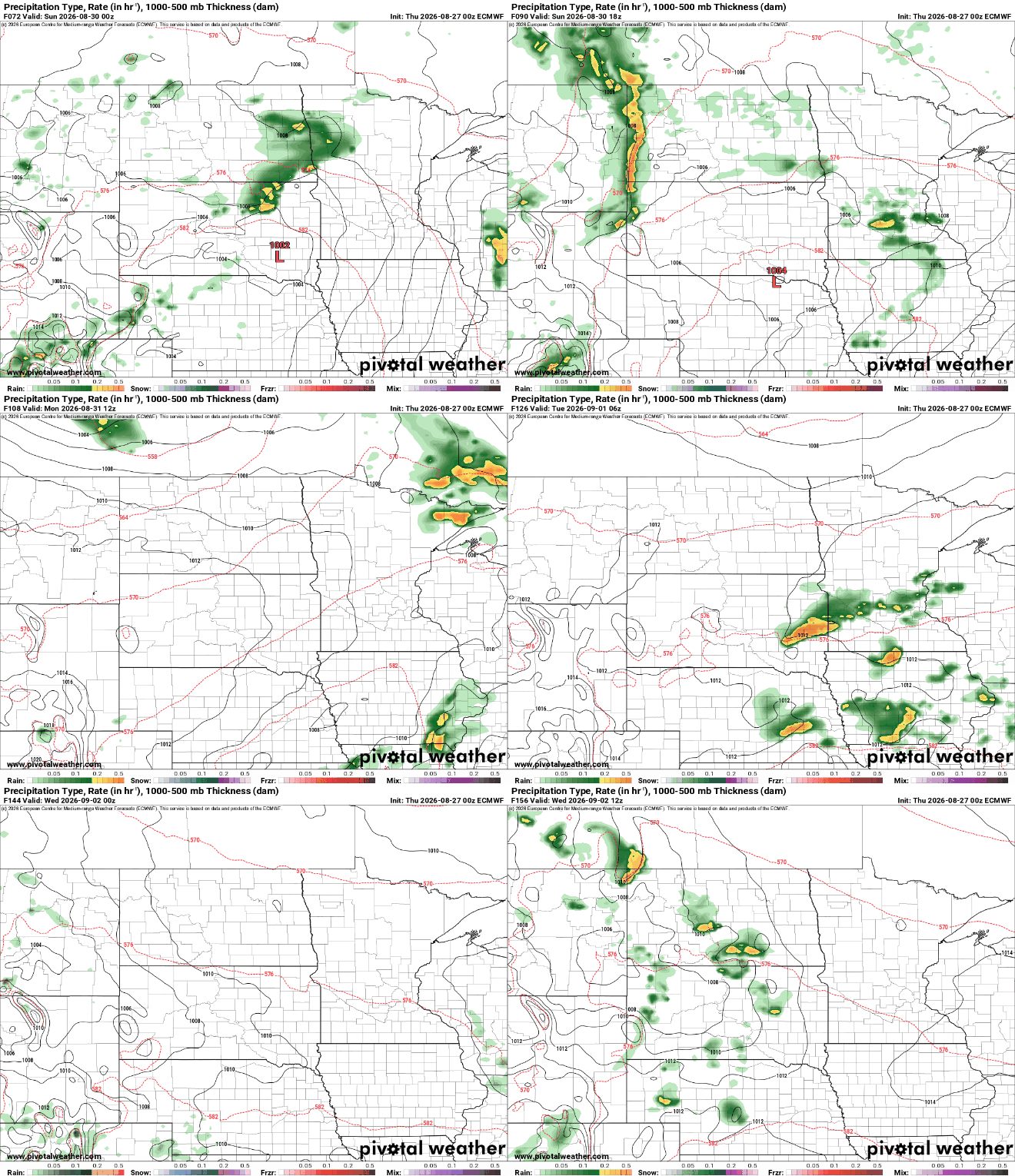
Moral of the story: there will be some periodic spotty storm chances starting Friday night into midweek next week but when and where are still a big question mark.
Due to the hit-and-miss nature of the weekend and early next week thunderstorm chances, a widespread, soaking rainfall looks unlikely but a few, heavily localized locations could see some significant pockets of rainfall.


