
Hot and muggy weather settles in for Sunday
Heat indices in the Twin Cities topping 90 degrees
Go Deeper.
Create an account or log in to save stories.
Like this?
Thanks for liking this story! We have added it to a list of your favorite stories.


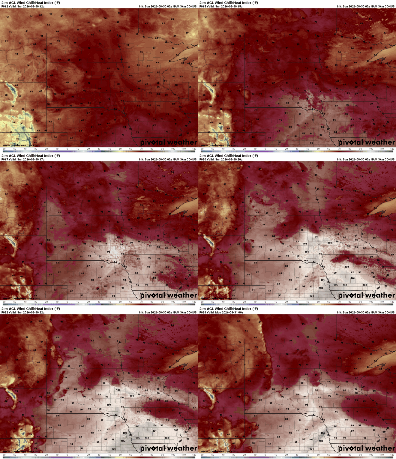
Hot and humid weather will greet fairgoers today, with temperatures climbing into the 80s and heat index values approaching the lower 90s.
Hot and humid for Sunday
If you’re heading to the State Fair today, be prepared for a hot and muggy day. Warm, moist air is moving into Minnesota, sending temperatures into the 80s and pushing heat index values into the lower 90s. Fairgoers should plan for plenty of water, take breaks from the heat when needed, and seek out shade or air conditioning when possible.
Heat index readings will top 90 degrees by Sunday afternoon, as dew points surge into the upper 60s to low 70s.
High temperatures will warm into the upper 80s, with low 90s possible in southwestern Minnesota. The Red River Valley will see temperatures in the mid-80s, while northern Minnesota warms into the upper 70s to near 80 degrees.
Turn Up Your Support
MPR News helps you turn down the noise and build shared understanding. Turn up your support for this public resource and keep trusted journalism accessible to all.

A few storms possible today
While much of the day will be warm and humid, there is also a chance for isolated showers and thunderstorms. A warm front lifting north could help trigger a few storms, although a layer of warm air above the surface may initially keep storms from developing.
As temperatures rise this afternoon, that cap could weaken and allow a few storms to develop, particularly across central and northern Minnesota. Storms developing farther west Sunday evening could also move into parts of northwestern Minnesota later tonight.
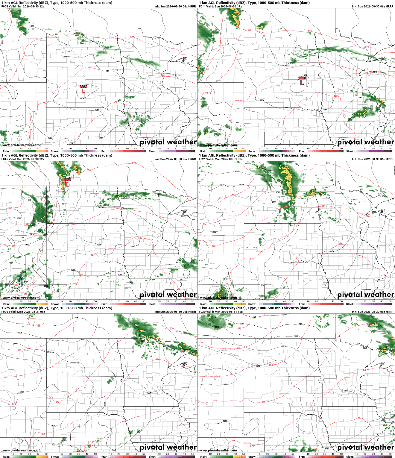
The overall severe weather threat appears limited, but stronger storms could produce gusty winds or hail, with a small tornado threat near the warm front, according to the Storm Prediction Center.
A cold front will move through Minnesota on Monday, bringing a noticeable decrease in humidity. Dew points will drop into the 50s across northern Minnesota, while the Twin Cities metro will remain muggy through the first half of the day.
Temperatures, however, may remain in the 80s, so it won't necessarily feel much cooler despite the lower humidity. The biggest improvement will be the drier air, which will make conditions feel more comfortable.

The next opportunity for rain comes late Tuesday into early Wednesday as another disturbance moves across the region. This system currently looks more likely to bring widespread light rain rather than the isolated storms expected today.

