
Hot start to September with spotty rain chances
Tuesday night into early Wednesday yields the next chance of thunder

Go Deeper.
Create an account or log in to save stories.
Like this?
Thanks for liking this story! We have added it to a list of your favorite stories.


Welcome to September. It will be nearly 10 degrees above normal Tuesday, but less humid than Monday morning. Muggy air and spotty storm chances return Tuesday night.
Hot start to September with spotty rain chances
It may be the first day of meteorological fall, but it will feel like midsummer Tuesday and really through the week. Afternoon highs will be in the mid to upper 80s across southern Minnesota with upper 70s north Tuesday.

Dew points will be more comfortable Tuesday, mostly in the 50s north to low to mid-60s south. Dew points will be considerably more humid, near 70 degrees along the Minnesota-Iowa border.
Those dew points will increase again Tuesday night into the rest of the week with pretty muggy air sticking around through much of the upcoming holiday weekend.
Turn Up Your Support
MPR News helps you turn down the noise and build shared understanding. Turn up your support for this public resource and keep trusted journalism accessible to all.
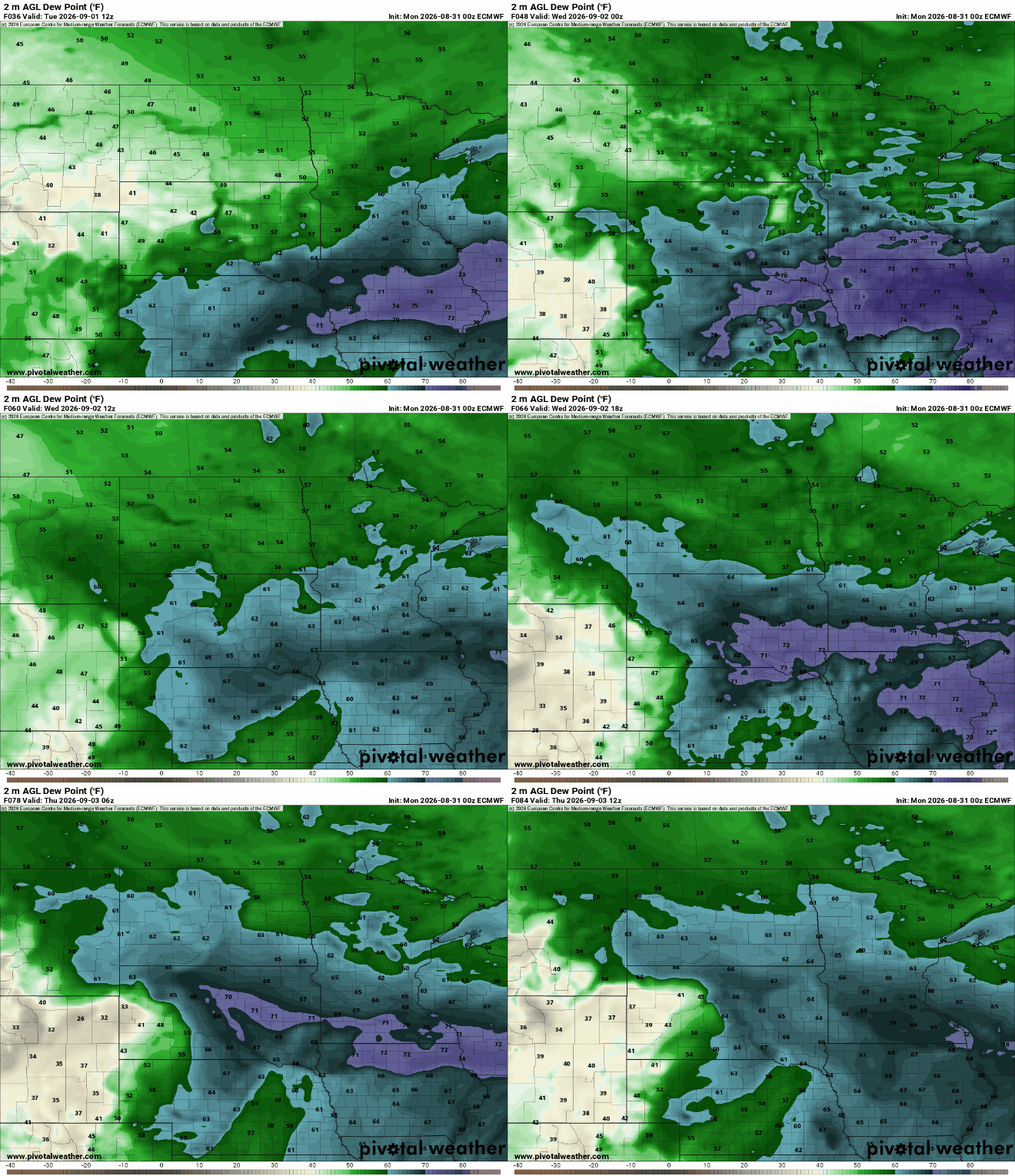
That increase in moisture combined with a couple of fast-moving, upper-level disturbances will touch off the next chances of scattered showers and thunderstorms.
Storms will develop in eastern South Dakota late Tuesday and track east overnight across central and southern Minnesota into early Wednesday.
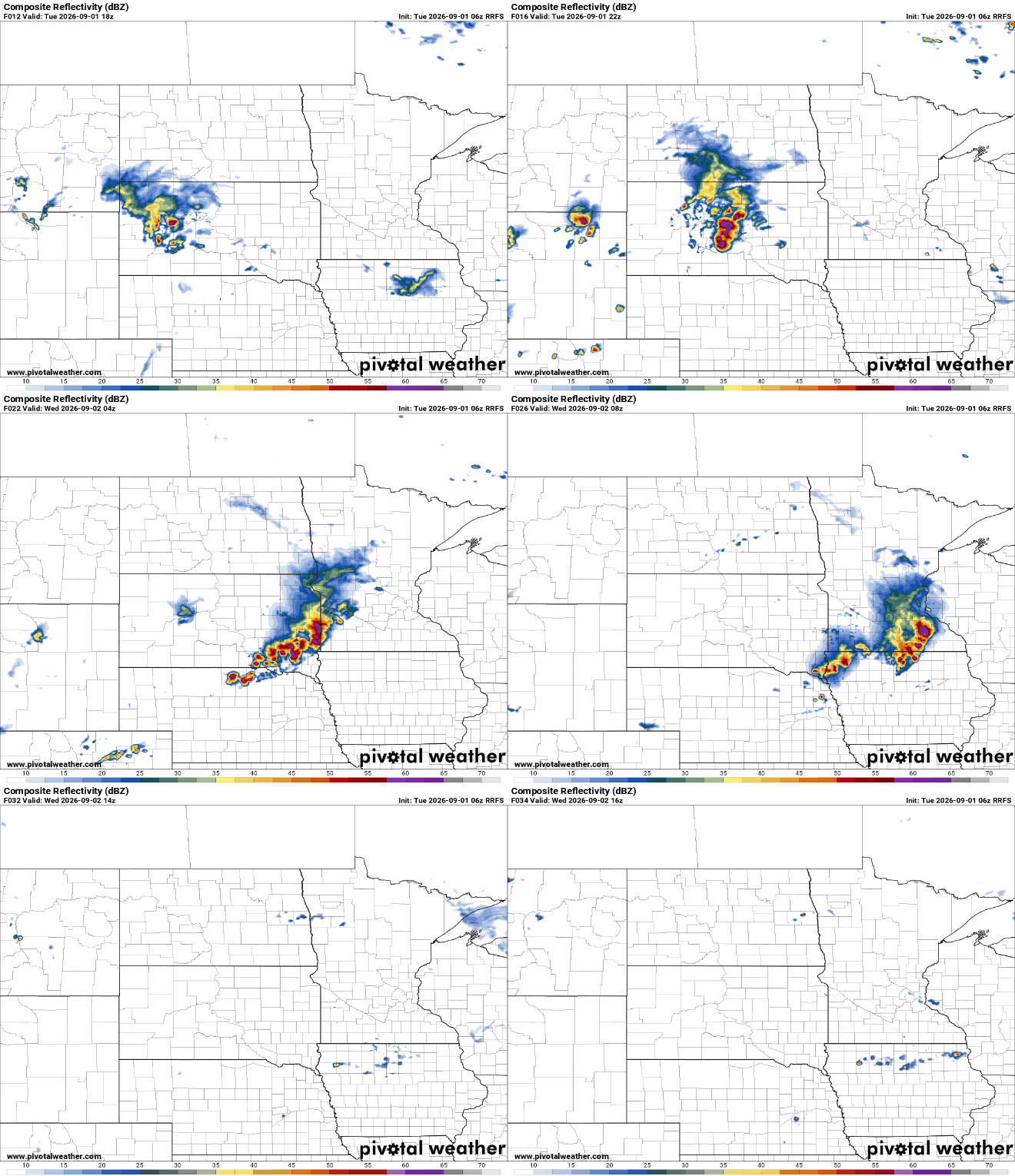
There’s a slight risk (level 2 of 5) for severe storms Tuesday night across portions of southern Minnesota.

The big concern with overnight storms will be damaging wind gusts. The line of storms that develops could produce wind gusts greater than 60 mph across the southern most counties of the state between about 11 p.m. Tuesday night and 4 a.m. Wednesday.

We’ll have another chance of a few storms late Wednesday night into Thursday with perhaps a lingering chance into Friday morning. It will also be quite humid Thursday again with dew points near 70 degrees into the weekend.
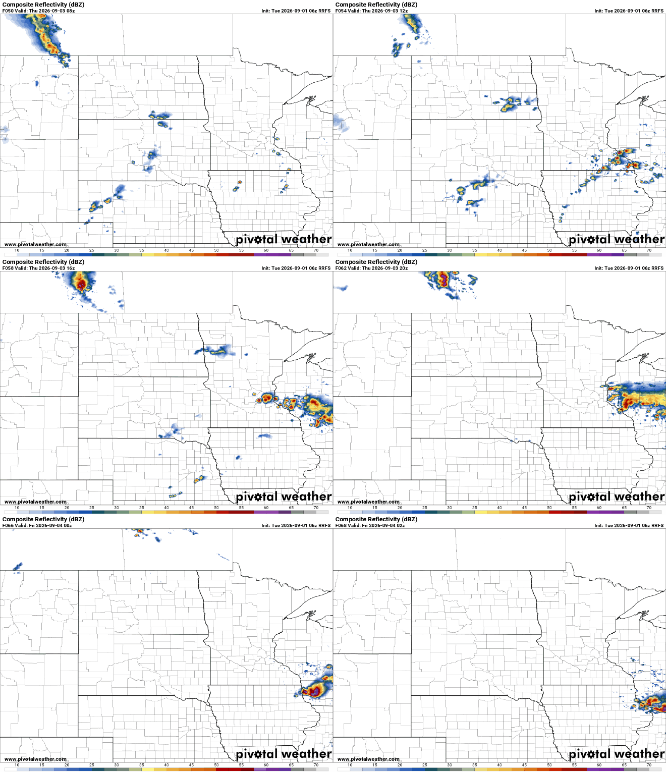
The holiday weekend looks hot and humid, despite coming later than usual. We’ll see highs in the upper 80s to near 90 degrees to kick off the weekend in southern Minnesota at least. There could be some storms Saturday night and on Labor Day.


