Humid air moves back in with continued above-normal temperatures
We’ll also have more spotty storm chances
Go Deeper.
Create an account or log in to save stories.
Like this?
Thanks for liking this story! We have added it to a list of your favorite stories.


Wednesday will be modestly muggy, but the real humid air moves back in Thursday. We’ll see some spotty storms Thursday and above-normal temperatures into the weekend.
Humid air and more chances of a few storms
There were some nasty storms overnight that began in South Dakota and northwestern Iowa and swept across southern Minnesota. George, Iowa, had a 73 mph wind gust and Rochester, Minn., had a 68 mph gust.
There was also some locally heavy rainfall. Owatonna received 2.46 inches of rain. Unfortunately, the city is not classified as being in drought.

Clouds will decrease through the day Wednesday. Highs will range from the mid-80s south to 70s north.
Turn Up Your Support
MPR News helps you turn down the noise and build shared understanding. Turn up your support for this public resource and keep trusted journalism accessible to all.

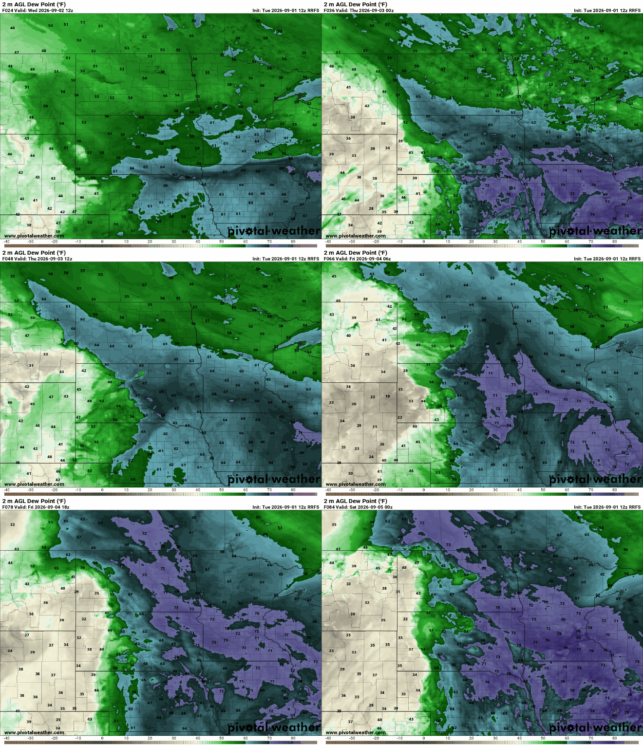
Dew points will be mainly in the 60s Wednesday for southern Minnesota. But the real tropical air, with dew points in the 70s, will march back north Wednesday night into Thursday and stick around for a good chunk of the holiday weekend.
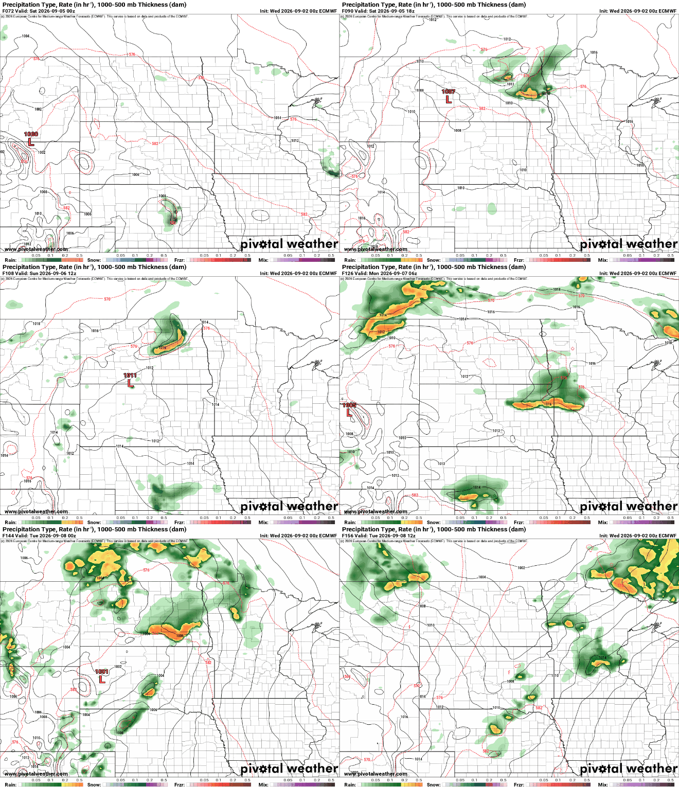
The increase in moisture means some, at least spotty, showers and thunderstorms will be possible Thursday into potentially early Friday. Rainfall amounts will be spotty, although some spots could see localized heavy amounts.
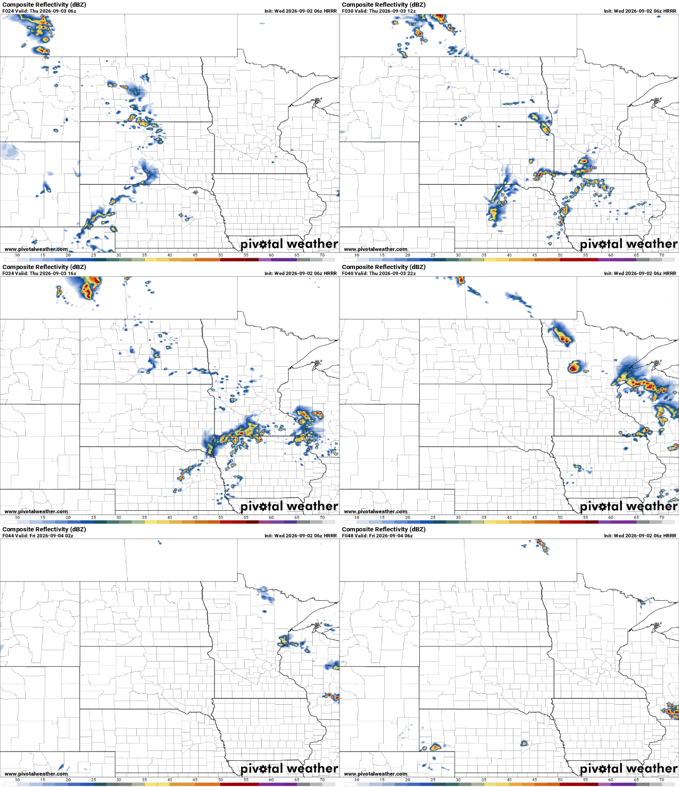
There’s a slight risk of severe storms (level 2 of 5) for Thursday into Thursday night.

Steamy conditions persist into much of the holiday weekend. Highs will be near 90 degrees across southern Minnesota Friday and Saturday with just slightly cooler conditions for Sunday and Labor Day.

Although a dry weekend cannot be guaranteed, most storm chances look pretty spotty and perhaps mainly in the overnights.