
Heavy rain threat continues across southwestern Minnesota
Several inches of rain bring flooding concerns to the area

Go Deeper.
Create an account or log in to save stories.
Like this?
Thanks for liking this story! We have added it to a list of your favorite stories.


A slow-moving storm system is bringing rounds of soaking rain and thunderstorms to southwestern Minnesota Sunday.
Nearly stationary storms bring heavy rain threat
Heavy rain is expected to remain the primary weather threat through Sunday evening. Rainfall rates of 1 to 3 inches per hour are possible, and localized storm totals of 3 to 5 inches.

Some parts of southern Minnesota have already received 3 to 4 inches of rain in just one to three hours. As a result, a flood watch and flash flood warnings remain in effect through late Sunday evening, with additional thunderstorms expected to move across areas already saturated by earlier rainfall.

Storms could continue developing through Sunday evening as a disturbance slowly moves east. While thunderstorms are expected to weaken after sunset, additional showers and isolated thunderstorms could return overnight.
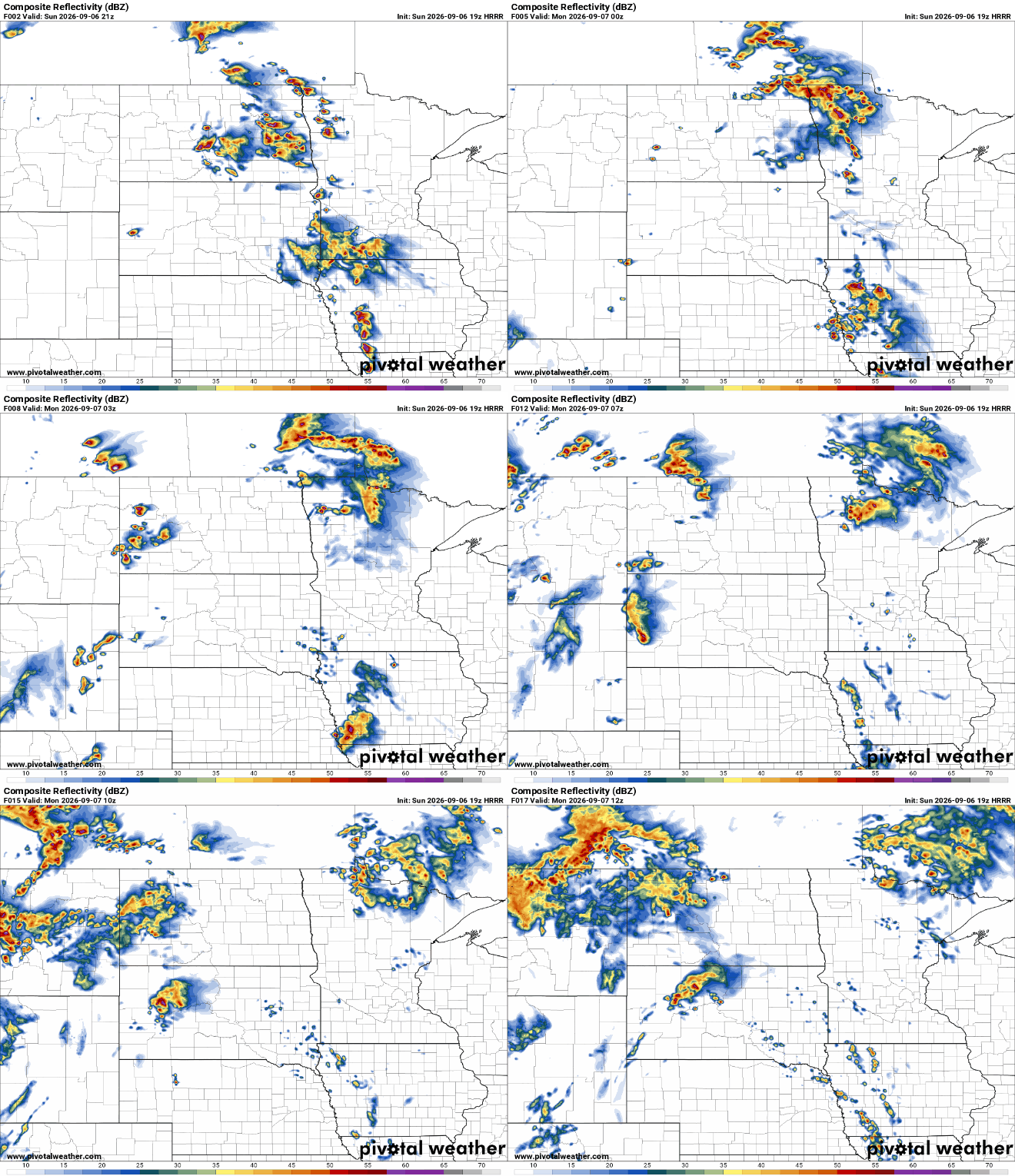
Those overnight storms are not expected to pose a major severe-weather threat, but any shower could still produce a burst of heavy rain.
Turn Up Your Support
MPR News helps you turn down the noise and build shared understanding. Turn up your support for this public resource and keep trusted journalism accessible to all.

