
Unsettled Tuesday followed by cooler air Wednesday
Storm chances Tuesday and again late Friday
Go Deeper.
Create an account or log in to save stories.
Like this?
Thanks for liking this story! We have added it to a list of your favorite stories.


We’ll have scattered showers and storms Tuesday. Wednesday will be cooler and breezy behind a cool front with more storm chances late Friday.
Unsettled Tuesday followed by cooler air Wednesday
Most of Minnesota saw at least some rainfall over the holiday weekend. In western Minnesota much of it was Saturday night into Sunday and for eastern Minnesota it came largely Monday night into early Tuesday.

We have some scattered showers and thunderstorms early Tuesday. We’ll get a mainly dry midday break with potential redevelopment of at least some spotty showers and storms again Tuesday afternoon and evening, especially in southeastern Minnesota.
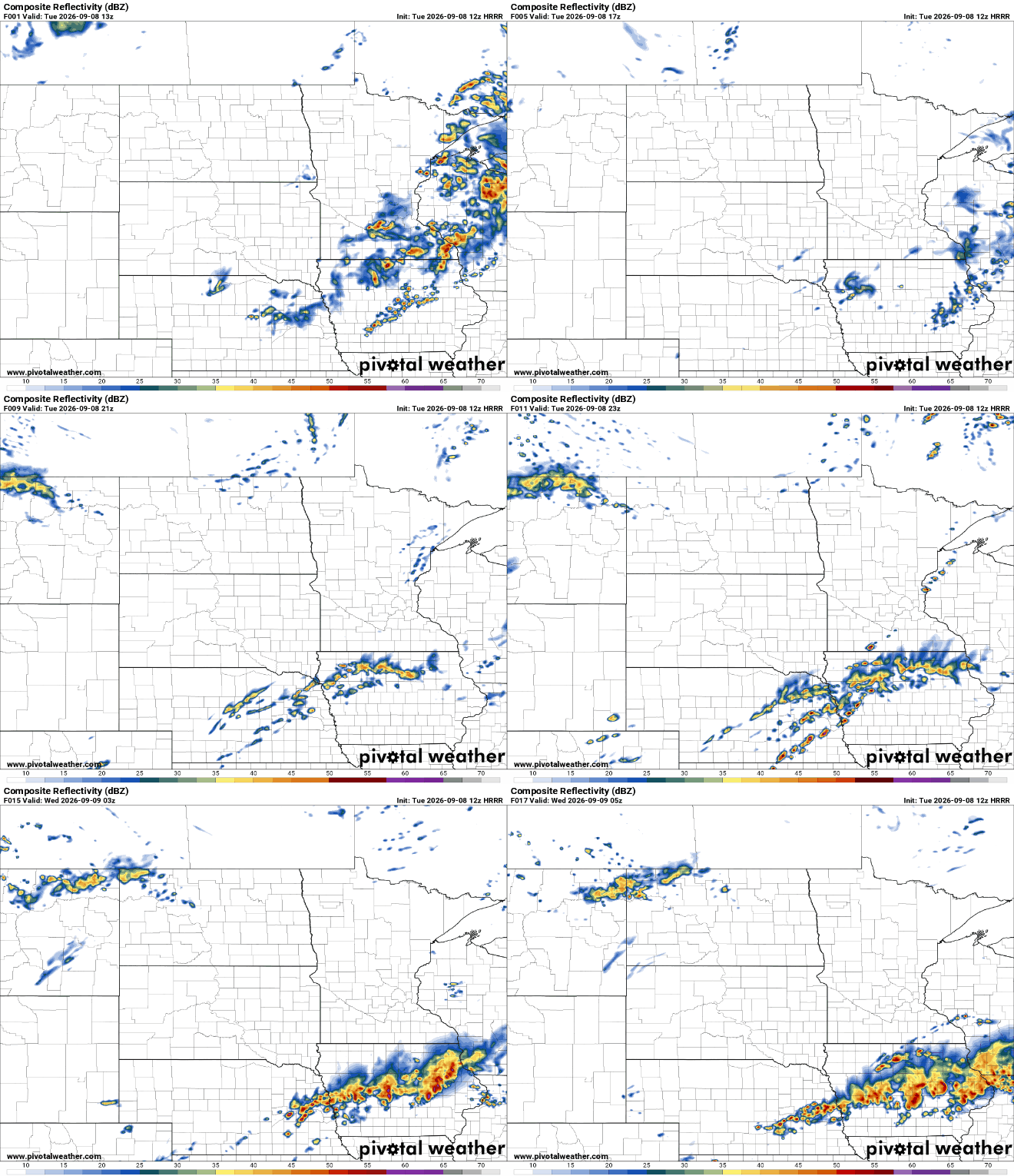
There’s a marginal (level 1 of 5) severe risk for southeast Minnesota into southwestern Wisconsin. A couple of isolated storms could produce large hail or damaging wind gusts Tuesday afternoon and evening.
Turn Up Your Support
MPR News helps you turn down the noise and build shared understanding. Turn up your support for this public resource and keep trusted journalism accessible to all.

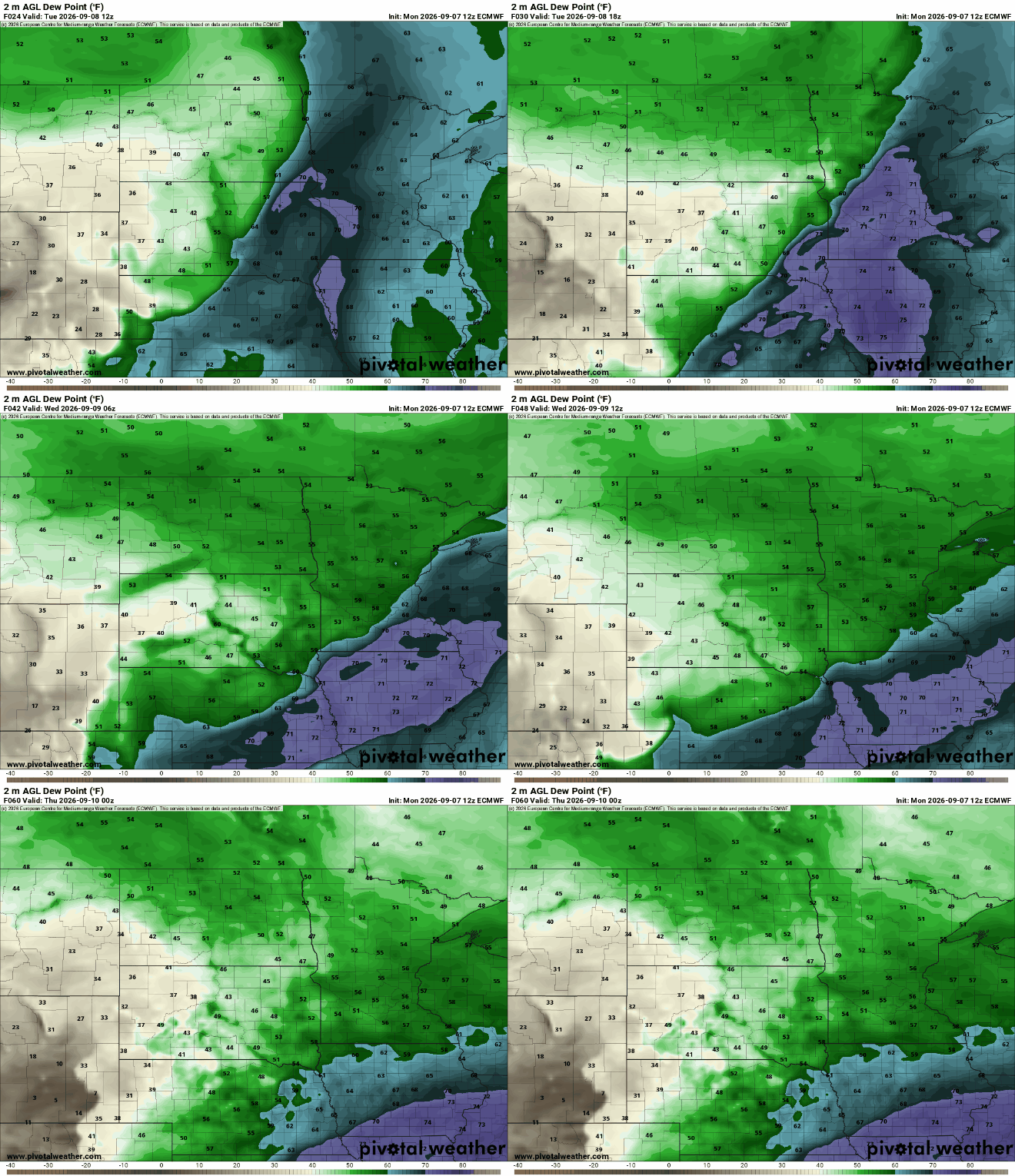
Between showers we’ll see steamy conditions with highs in the low to mid-80s. Dew points will be near 70 degrees.

That muggy and warm air will depart Tuesday night as a cool front blows in cooler and drier air. Dew points will drop from near 70 degrees into the 50s for Wednesday.
Highs Wednesday will be considerably cooler, especially north. Highs will be in the upper 70s south to just mid-60s north. It will also be breezy with northwest winds blowing at 10 to 20 mph Wednesday.

That will set us up for a cool overnight Wednesday into Thursday. Lows will be in the 50s south to 40s north with some 30s on portions of the Iron Range.

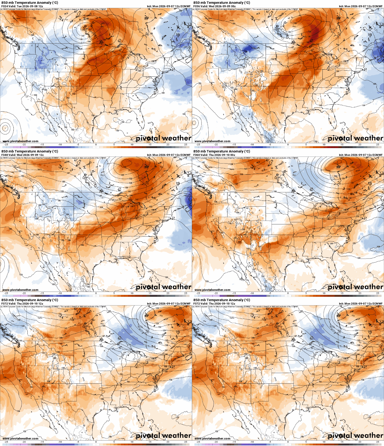
We’ll see conditions warm back up for Thursday and Friday — back in the 80s — ahead of another cool front that will also touch off our next chance of some thunderstorms late Friday into Friday night.

Behind that front we could see some our coolest air since mid-May for early next week with highs mainly in the 60s.


