
Breezy, cooler Wednesday before warming again
Storm chances return Friday night
Go Deeper.
Create an account or log in to save stories.
Like this?
Thanks for liking this story! We have added it to a list of your favorite stories.


It’ll be a pleasant Wednesday with cooler and breezy conditions. Temperatures warm again Thursday and Friday. The next chance of storms comes Friday night.
Cooler, breezy Wednesday
Cooler conditions have settled in for Wednesday. We’ll have partly cloudy skies in the wake of Tuesday’s cool front. Afternoon highs will be in the 70s for most with 60s in northern Minnesota. These high temperatures are actually pretty close to normal for Sept. 9.

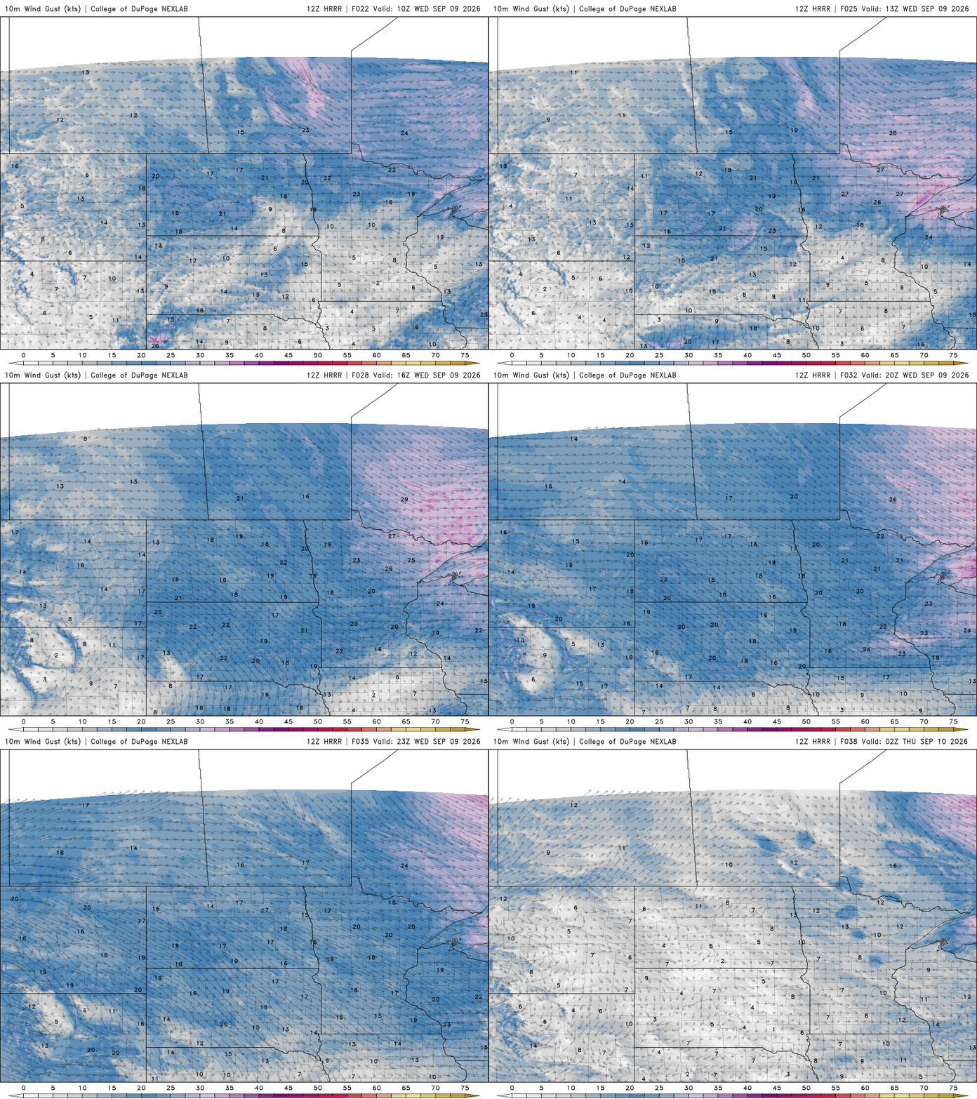
It’ll also be pretty breezy with northwest winds blowing at 10 to 20 mph throughout the day, adding a bit of a chill to the air when combined with lower dew points in the 50s. Wind gusts will be as high as 30 to 35 mph for some.
A cooler overnight Wednesday into Thursday is on the way as well. We’ll see temperatures dip into the 40s in northern Minnesota with pockets of 30s on the Iron Range. Southern Minnesota will see lows in the 50s. These overnight lows are actually close to normal, too.
Turn Up Your Support
MPR News helps you turn down the noise and build shared understanding. Turn up your support for this public resource and keep trusted journalism accessible to all.

Warmer Thursday, Friday
Thursday is warmer as winds become south once again. High temperatures will return to the 80s in western Minnesota and the Twin Cities. Highs Friday will be summerlike again with low to mid-80s across much of central and southern Minnesota.

It will also become more muggy again with dew points in the 60s, at least briefly, for Friday into Friday night ahead of another cool front.
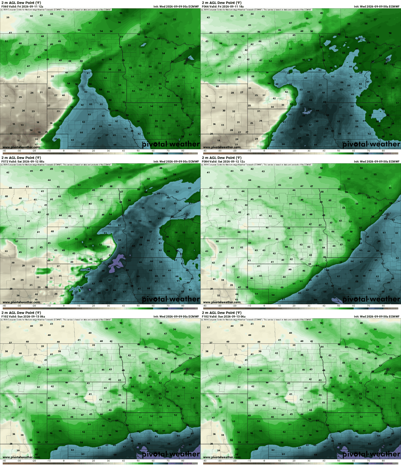
That cool front will touch off the next chance of some storms Friday night, some of which could be strong.
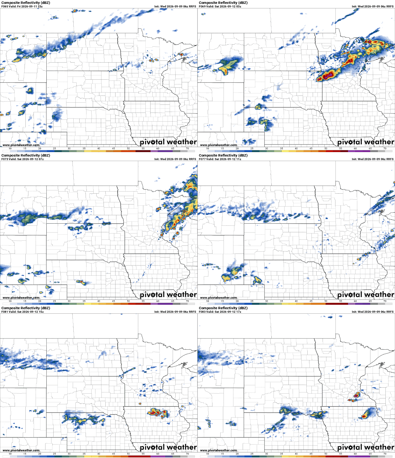
The National Oceanic and Atmospheric Administration’s Storm Prediction Center is already monitoring late Friday into Friday night for possible severe weather. A slight risk (level 2 of 5) for severe storms is forecast for Friday night.

Following the cool front will be our coolest air mass since mid-May, likely. Highs temperatures will struggle to reach 70 degrees Sunday and Monday even in southern Minnesota. We’re also monitoring a system that could bring significant rainfall Sunday into Monday.
Forecast models vary with the placement of the heaviest rainfall but parts of Minnesota could see more than 2 inches of needed moisture.


