Breezy start, sunny skies and seasonal temperatures
Cooler weather pattern ahead
Go Deeper.
Create an account or log in to save stories.
Like this?
Thanks for liking this story! We have added it to a list of your favorite stories.


A cooler weather pattern is settling in, bringing an almost fall-like feel to the weekend. Sunshine and blustery winds will kick off the weekend Saturday, with seasonable temperatures settling in behind Friday night’s cold front.
Cooler weather pattern ahead with rain chances
A noticeable change in the weather pattern is underway across the Upper Midwest, with cooler temperatures settling in and rain chances increasing early next week. While widespread rain is expected Monday, total rainfall amounts have trended lower.
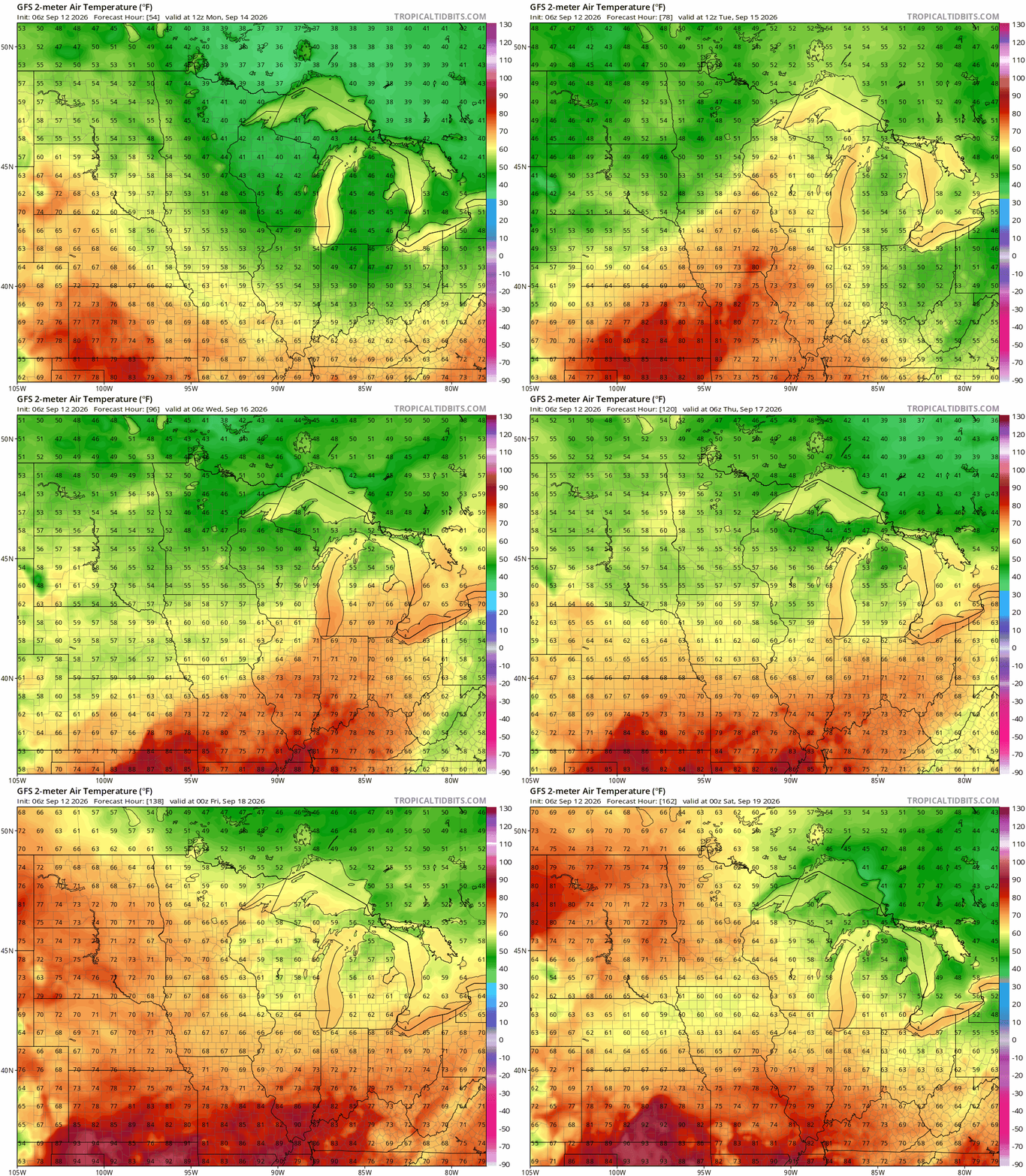
For much of the next week, temperatures will remain well below the recent summer warmth, with afternoon highs generally in the 60s to lower 70s and overnight lows in the 40s and 50s. Northern Minnesota could see some overnight temperatures dip into the 30s.
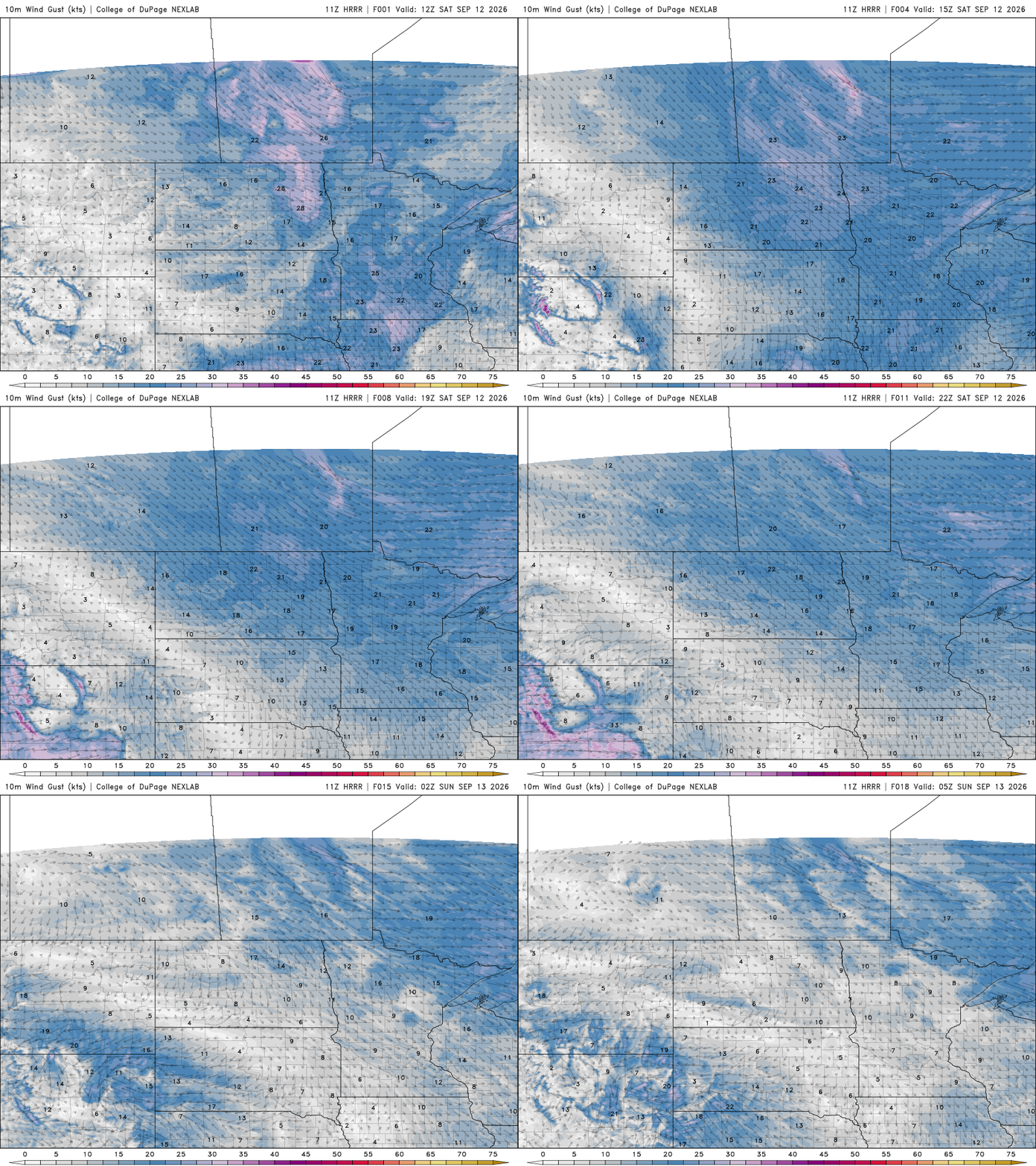
Friday nights cold front that brought severe weather to west-central Minnesota, will continue pushing southeast as high pressure settles in from the west.
Turn Up Your Support
MPR News helps you turn down the noise and build shared understanding. Turn up your support for this public resource and keep trusted journalism accessible to all.
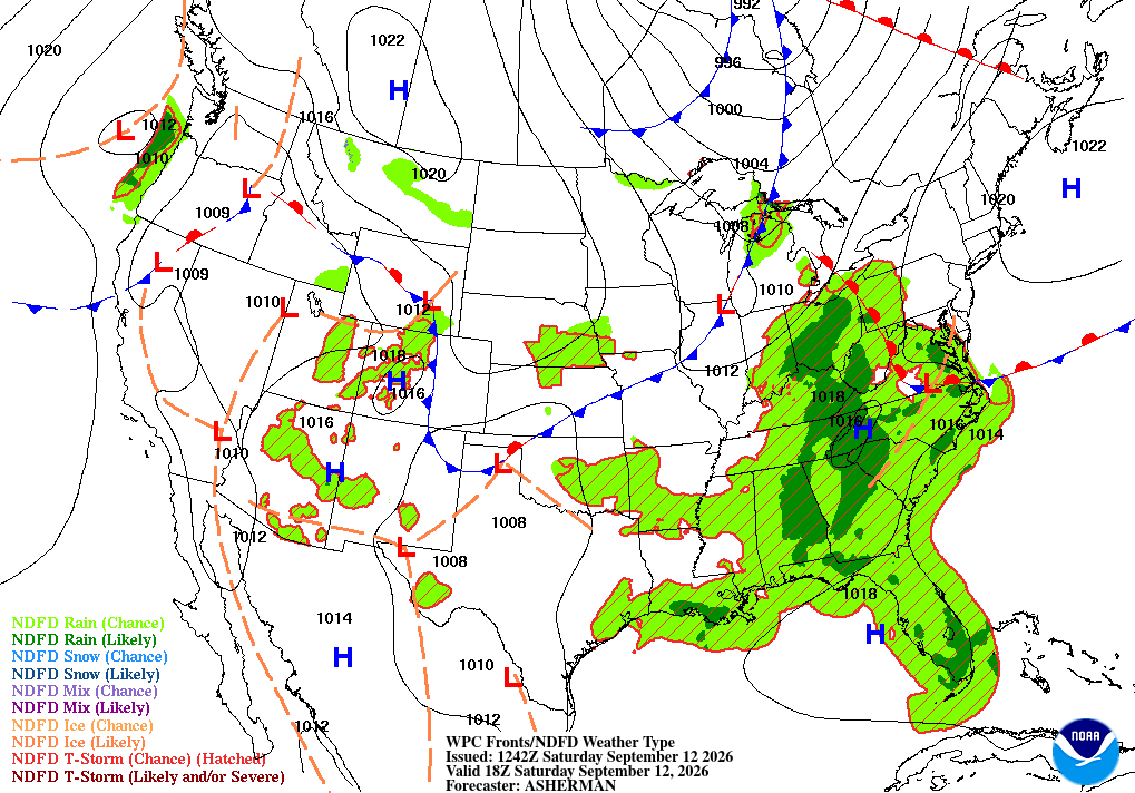
Saturday will start out on the breezy side, with northwest winds around 10-20 mph. Winds will gradually ease through the afternoon and into the early evening as high pressure builds in.
Overall, Saturday will feature sunshine, lighter winds by late afternoon and seasonal temperatures in the 60s for northern Minnesota, to mid-70s in the south.

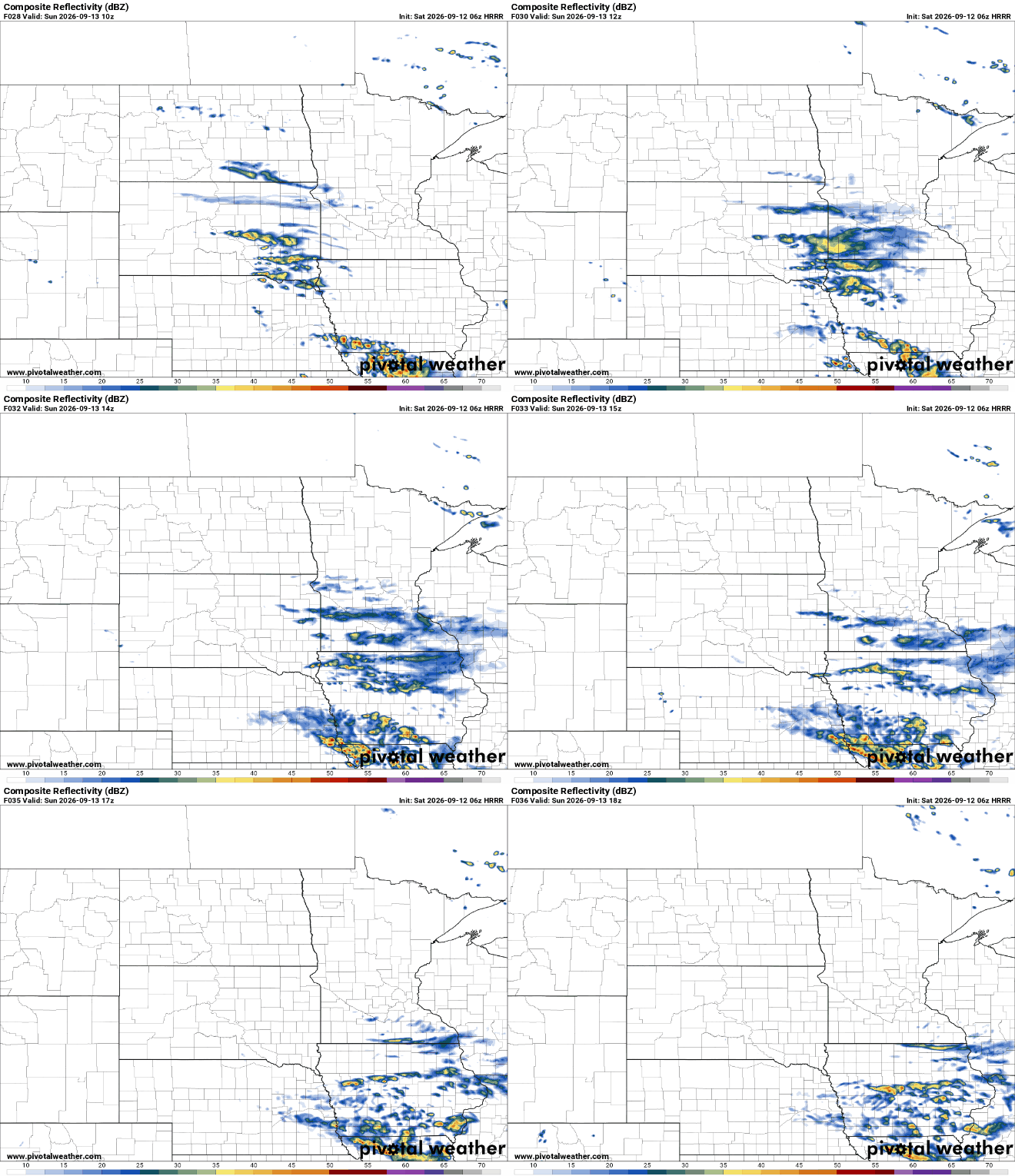
A small chance for showers will return early Sunday across parts of southern Minnesota, South Dakota and Iowa as a weak disturbance moves through the region. However, dry high pressure will remain in control farther north, making it difficult for showers to spread very far into central Minnesota.
Widespread rain for Monday
Monday is shaping up to be the wettest day of the week. A surge of moisture will move into the region, bringing widespread showers and periods of rain across the Upper Midwest. Most areas should see a steady soaking, although rainfall amounts have been trending lower in recent forecasts.
For now, many locations could pick up around one-quarter to three-quarters of an inch, with at least a half-inch looking likely for many areas.

Some spots could approach an inch or two if heavier pockets of rain develop and linger for a few hours. The heaviest thunderstorms are expected to stay farther south, mainly across Iowa, but parts southern Minnesota could still see some beneficial higher rainfall totals.
Seasonably cool weather appears likely to stick around for a while, with highs mainly in the 60s and lower 70s and overnight lows in the 40s and 50s. Northern Minnesota and northern/central Wisconsin could see occasional readings in the 30s.