
Rainy start to the work week; cooler temperatures continue
Beneficial rainfall amounts will help alleviate drought
Go Deeper.
Create an account or log in to save stories.
Like this?
Thanks for liking this story! We have added it to a list of your favorite stories.


A widespread soaking rain is expected to move across the region Monday, putting an end to the pleasant fall weather we’ve enjoyed this weekend.
Rainy start to the work week
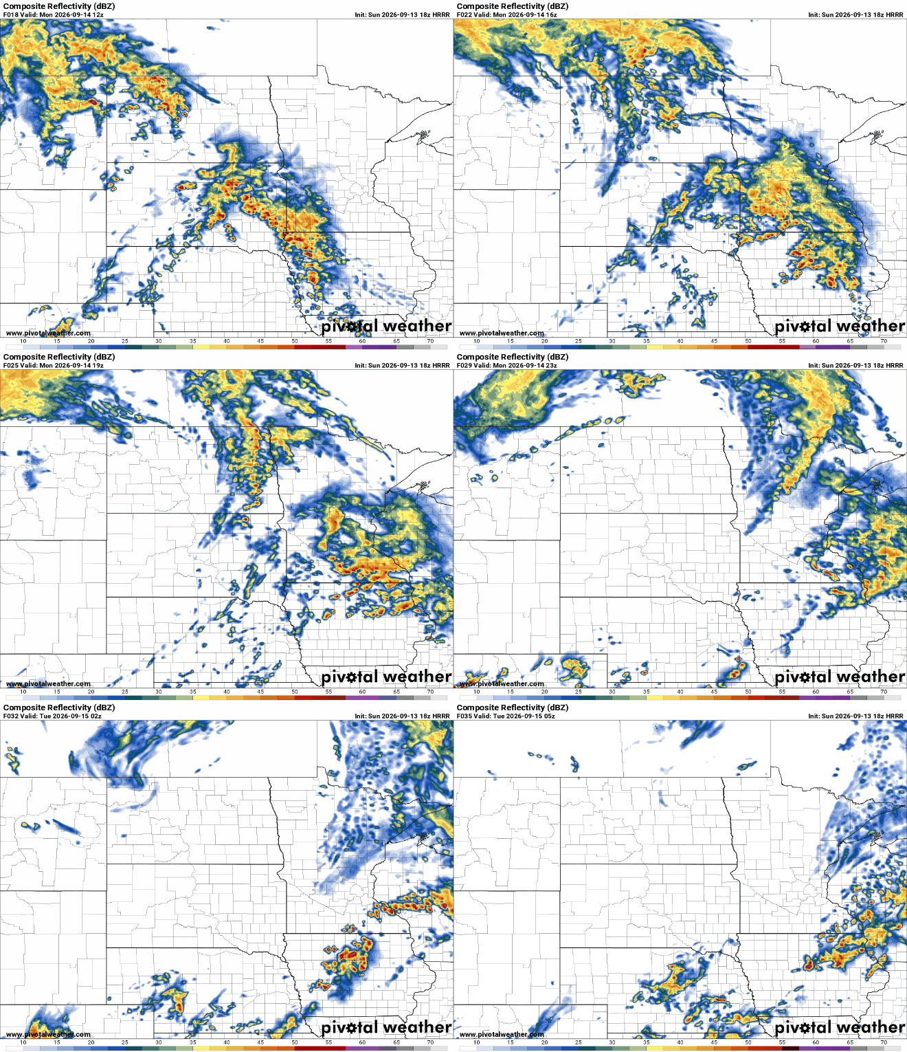
Rain chances will increase through Monday as a storm system moves out of the western United States and deeper moisture surges into the Upper Midwest. With plenty of moisture available, rainfall could be efficient, meaning some areas may pick up a substantial amount of rain.

The biggest question is where the heaviest rain will fall. Forecast models continue to show a broad area capable of receiving 1 to 1.5 inches of rain, but the exact placement of that heavier band remains uncertain. Current forecasts favor the northern portion of the region, although the heaviest rain could ultimately shift farther south or east.
Rain will also keep temperatures noticeably cooler Monday, with widespread clouds and precipitation holding afternoon highs mainly in the 60s.

By Monday evening and overnight, the heaviest rain is expected to shift east of the region.
For Monday, the bottom line is simple: plan on a wet day, with widespread rain and the potential for 1 to 1.5 inches in the heaviest rainfall band. The exact location of that heavier rain remains the biggest forecast uncertainty.
Turn Up Your Support
MPR News helps you turn down the noise and build shared understanding. Turn up your support for this public resource and keep trusted journalism accessible to all.

