
A wet Monday followed by a pleasant Tuesday
More rain possible by week's end

Go Deeper.
Create an account or log in to save stories.
Like this?
Thanks for liking this story! We have added it to a list of your favorite stories.


Rain develops for much of Monday followed by clearing skies Monday night. Tuesday will be dry and pleasant. More substantial rain is possible to end the week again.
A wet Monday followed by a pleasant Tuesday
Rain in southwestern Minnesota will continue to fill in and advance east through the morning hours Monday. Look for periods of rain on and off for much of the day today before showers end west to east late afternoon into the late evening hours.
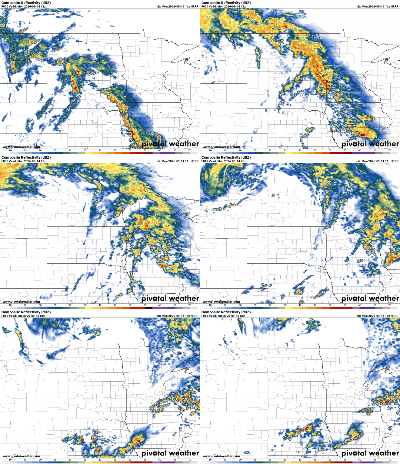
Many areas of central and southern Minnesota will see a decent rainfall of one-half inch to 1 inch or more in some spots when the rain ends Monday evening.
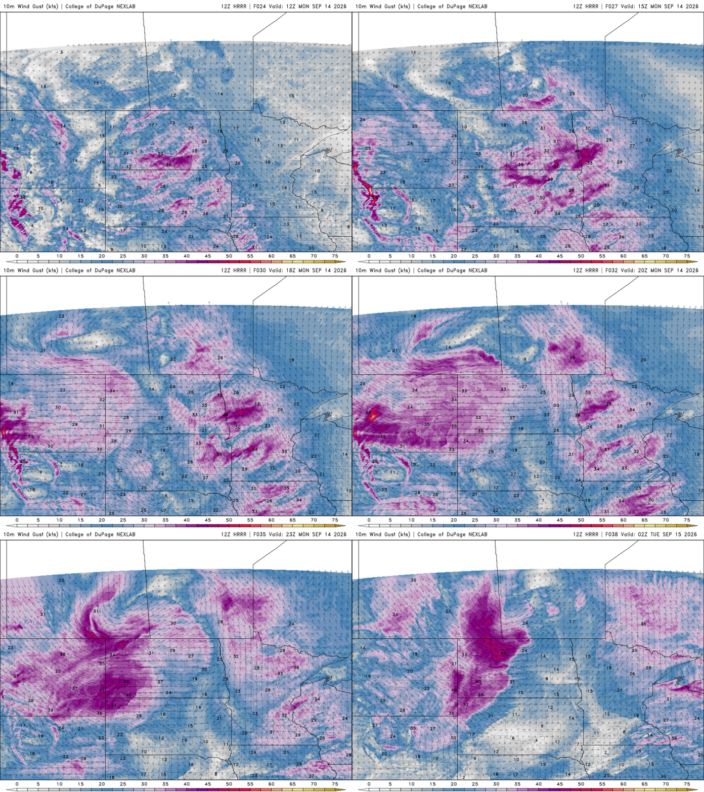
Temperatures will remain rain-cooled and not get out of the 60s across the state. It will also be quite windy with southwest winds at 15 to 25 mph with gusts up to 30 to 40 mph.
Turn Up Your Support
MPR News helps you turn down the noise and build shared understanding. Turn up your support for this public resource and keep trusted journalism accessible to all.
Skies clear overnight and Tuesday looks pleasant with partly cloudy skies and slightly below normal temperatures. Highs will range from near 70 degrees south to just 60 degrees in the far north.

We remain in a somewhat active pattern this week. A weaker disturbance moves in Wednesday bringing some isolated to spotty showers to mainly central and southern Minnesota but a more potent, soaking system could develop Friday into Friday night.
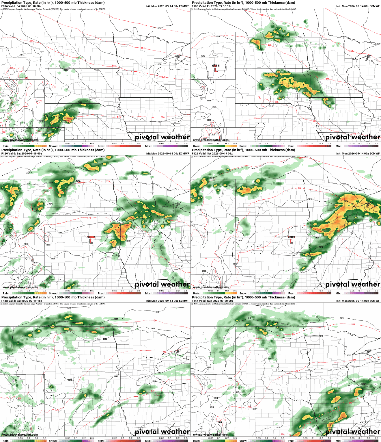
Total rainfall this week between Monday’s system, Wednesday’s disturbance and the Friday system, could add up to some significant rainfall totals. Up to 2 to 4 total inches could fall, this would wipe out one-quarter to one-third of our rainfall needed to end the drought.

Temperatures will remain near or slightly cooler than normal all week before we see a warmup over the weekend.

