
High pressure makes a nice Tuesday with more rain chances ahead
We’ll also see some slightly warmer temps ahead
Go Deeper.
Create an account or log in to save stories.
Like this?
Thanks for liking this story! We have added it to a list of your favorite stories.


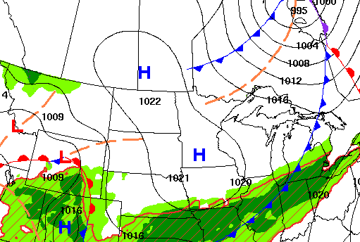
High pressure clears skies out for most Tuesday making for a pleasant day. It will be pretty breezy, however. A few showers are possible Wednesday with better chances Friday.
High pressure makes a nice Tuesday with more rain chances ahead
Consider yourself lucky if you were one of the two main areas of the state that received significant rainfall Monday.
North-central and southeastern Minnesota saw nearly 1 inch or more of rainfall. Central Minnesota, including the Twin Cities, saw significantly less.
Much of the south metro, including Minneapolis-St. Paul International Airport, is in severe drought and only received 21 one-hundredths of an inch. That’s a tiny drop in the rainfall deficit bucket.
Turn Up Your Support
MPR News helps you turn down the noise and build shared understanding. Turn up your support for this public resource and keep trusted journalism accessible to all.

Behind Monday’s system, we have a pretty nice fall day Tuesday with seasonably cool temps and sunshine for much of the state thanks to building high pressure.
There will be a few more clouds north and southeast. Highs will range from the low 70s south to low 60s north, a few degrees cooler than normal.

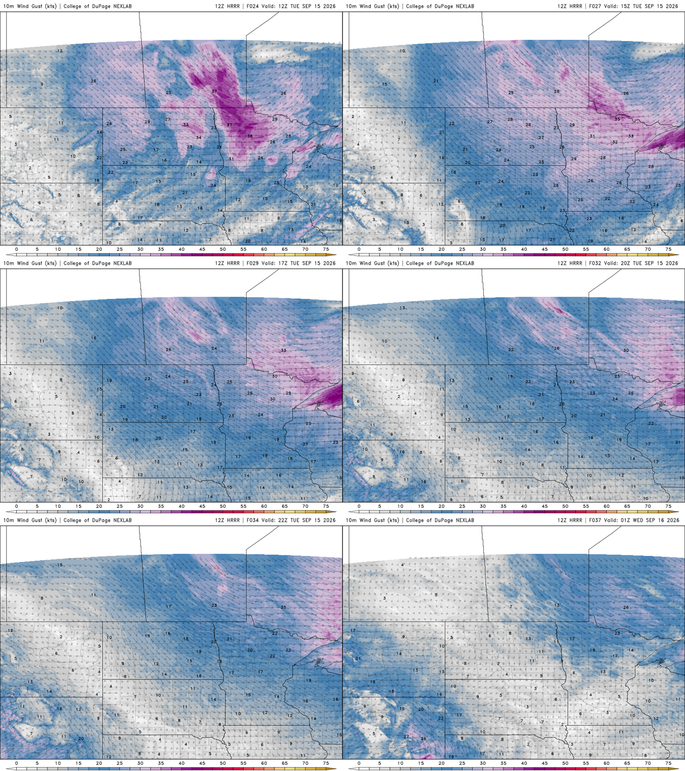
It will be a bit breezy. Northwest winds will blow at 10 to 20 mph across the state in the wake of Monday’s rainmaker. Winds will quickly calm down toward sunset and after dark.
It’ll be a chilly overnight with clear skies and winds lightening up after dark. Lows will be in the 40s for most of the state. There will be some upper 30s on the Iron Range and the urban heat island of Minneapolis-St. Paul proper will likely stay in the low 50s.

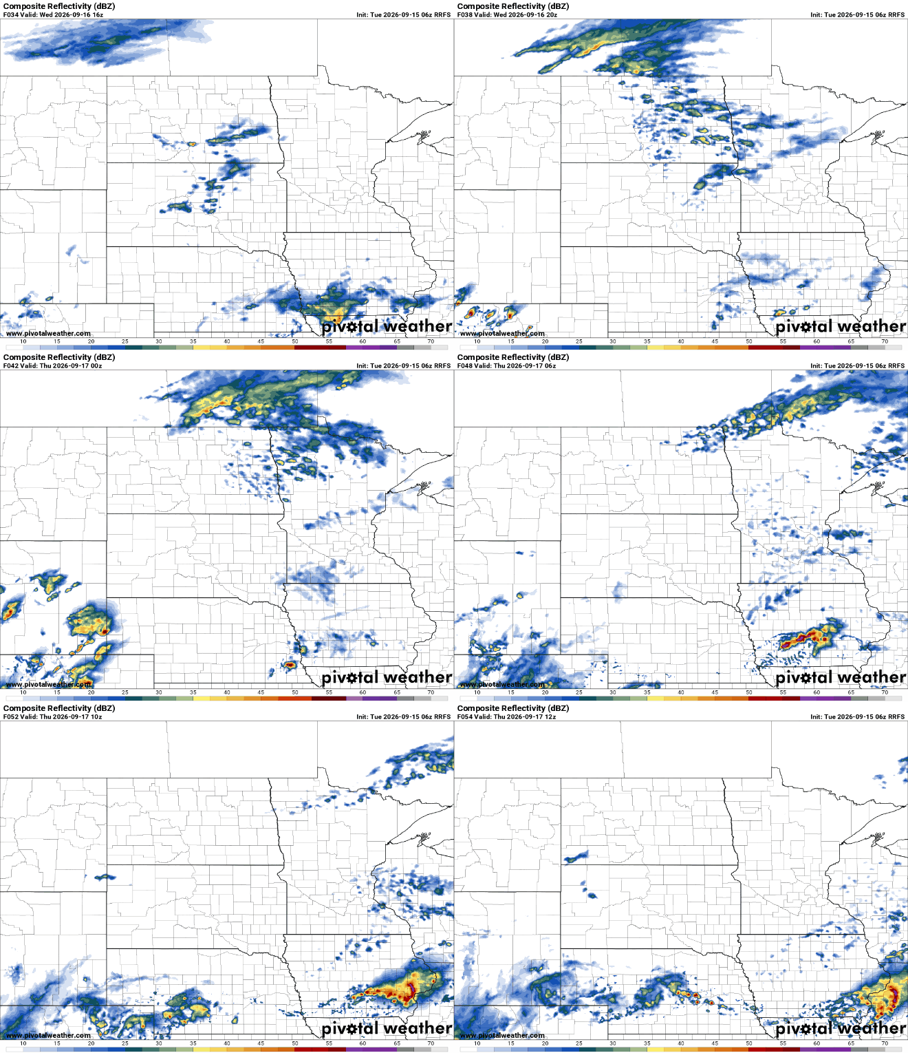
We have another chance of a few showers late Wednesday with a much weaker, fast-moving disturbance. Showers will track from the west in the afternoon to east by evening and early overnight Wednesday night. Most rainfall will be less than one-tenth of an inch.
Thursday should be a bit warmer and we’ll see dew points increase some late Thursday into Friday. That will help fuel the next more potent system that could deliver substantial rain to parts of Minnesota or Wisconsin.
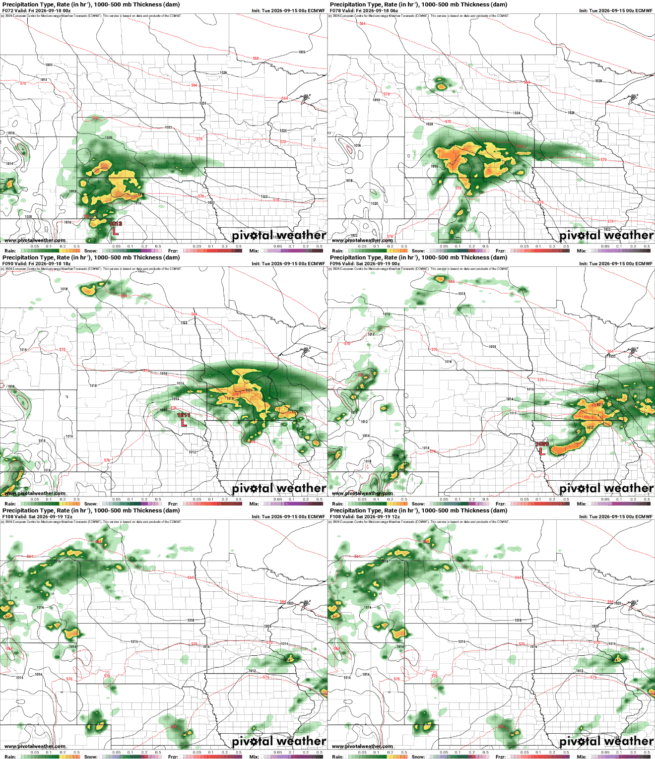
The precise track will likely shift some, but as of now this is where the European Centre for Medium-Range Weather Forecasts places the heaviest rainfall Friday into Friday night:


