
Next chance of showers late Wednesday with more rain Friday
Temperatures a bit warmer Wednesday and Thursday
Go Deeper.
Create an account or log in to save stories.
Like this?
Thanks for liking this story! We have added it to a list of your favorite stories.


Clouds will increase ahead of the next disturbance to touch off showers late Wednesday into Wednesday night. It’ll be a bit warmer through Thursday. More significant rain is possible Friday.
Next chance of showers late Wednesday with more rain Friday
It was a chilly start with most locations starting the early morning in the 30s up north to low 50s in the urban heat island of Minneapolis-St. Paul. Most Twin Cities suburbs slipped into the 40s.
We’ll warm up Wednesday despite an increase in afternoon cloud cover. Afternoon highs will be in the mid-70s across southern Minnesota with 60s north.

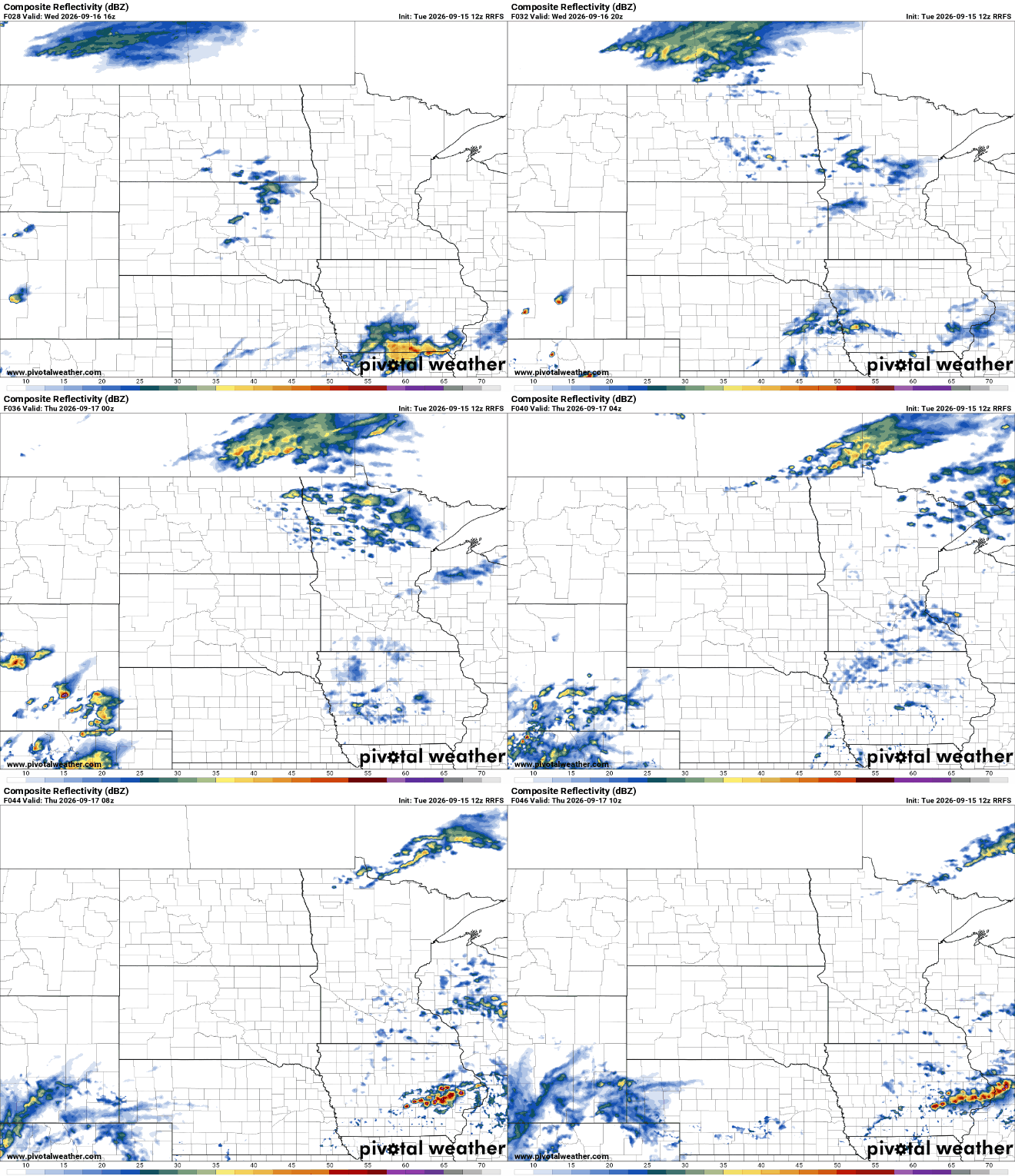
The increase in clouds is being driven by the next disturbance which will develop some spotty to scattered showers in western Minnesota this afternoon which will track east by Wednesday evening and overnight.
Turn Up Your Support
MPR News helps you turn down the noise and build shared understanding. Turn up your support for this public resource and keep trusted journalism accessible to all.
Rainfall with this system will generally be on the lighter side, less than one-quarter inch for most.

Thursday will also be a bit warmer with highs in the mid to upper 70s.

Dew points will also increase some late Thursday into Friday, adding a boost to the next, incoming system which could deliver more substantial rainfall. Showers and thunderstorms will develop late Thursday night into Friday and Friday night.
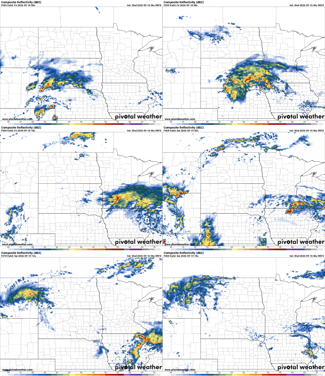
Total rainfall could be substantial with the Friday system. A broad area of 1 to 3 inches or more of rain could fall across central and southern Minnesota into northern Iowa and Wisconsin by the time it wraps up Friday night.

We’ll be watching for a potential narrow area of very heavy rainfall amounts. Forecast models differ on the placement of this. The map below shows a comparison of two forecast models for Friday rainfall.

The range of scenarios is generally from the Minnesota-Iowa border to the Twin Cities. Despite the drought, rainfall in excess of 4 inches could prompt some flood watches Friday.
We’ll likely see patchy clouds linger into the weekend as an upper-level low becomes cut off from the main flow aloft. That cool air in the mid levels of the atmosphere generates enough instability for some clouds and even a few spotty showers.

