
A soggy Friday with heavy rainfall potential for southern Minnesota
Clouds and cool temps linger into the weekend

Go Deeper.
Create an account or log in to save stories.
Like this?
Thanks for liking this story! We have added it to a list of your favorite stories.


Friday will be wet and windy. Rain will be heavy at times with the heaviest likely in southern Minnesota. Clouds will linger along with slightly cool temperatures for the weekend.
Soggy Friday with heavy rain potential for southern Minnesota
Many locations in southwestern and south-central Minnesota have already seen 1 inch or more of rainfall so far Friday morning. Those totals will continue to go up Friday.

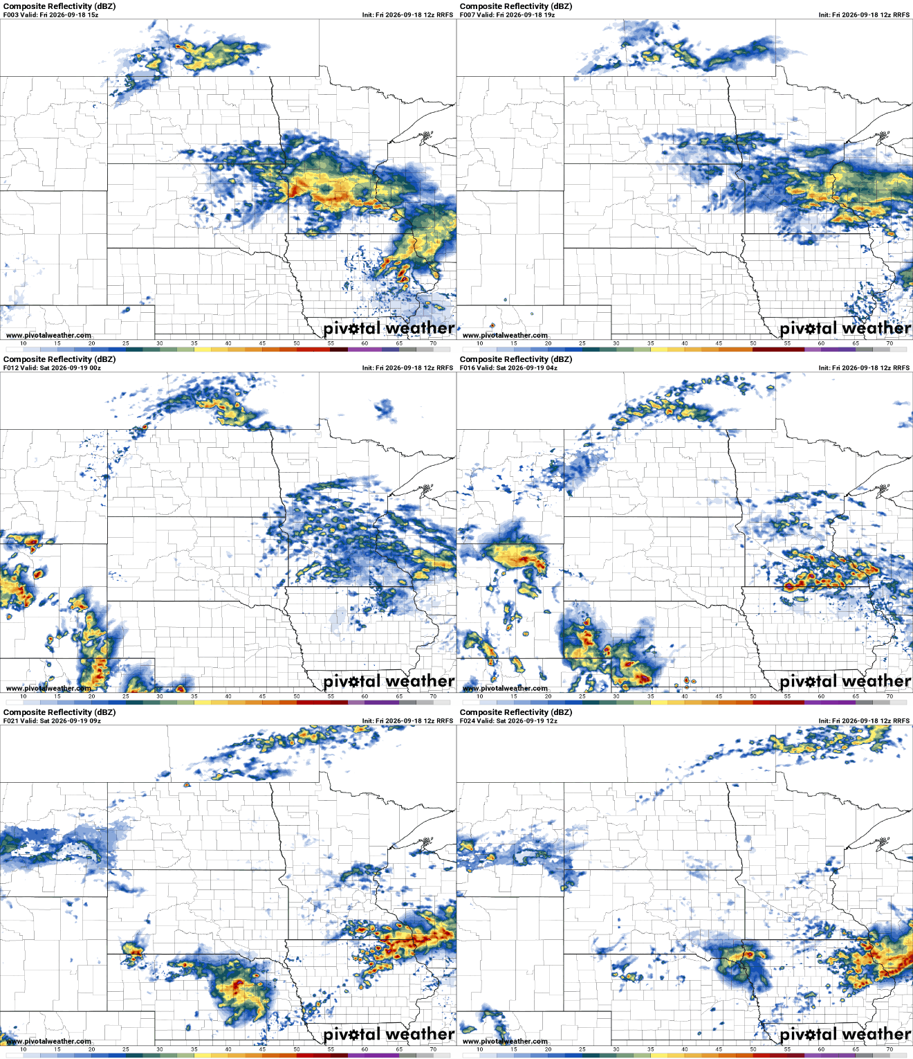
Showers and thunderstorms will continue to develop and expand across central and southern Minnesota. Look for rain to persist on and off all day into Friday night. Heavier thunderstorms will develop in the evening hours for southern Minnesota that will produce even heavier rainfall into the overnight.
Much of central and southern Minnesota will broadly see 1 to 2 inches of total rainfall. There will be pockets that see less but also narrow swaths of southern Minnesota that could see in excess of 3 to 6 inches of total rain.
Turn Up Your Support
MPR News helps you turn down the noise and build shared understanding. Turn up your support for this public resource and keep trusted journalism accessible to all.
A flood watch is posted for portions of southeastern Minnesota for Friday evening into Friday night.

We’ll need to monitor the evening development of more intense bands of showers and thunderstorms. Those will be the storms that deliver the heaviest rainfall amounts.
So far, the consensus in the models and is reflected in the National Weather Service forecast rain totals, is in southeastern Minnesota. A couple of forecast models are a bit more north, perhaps up to even Northfield or Red Wing.
Unfortunately, we won’t really know until these band start to develop late Friday afternoon and evening.

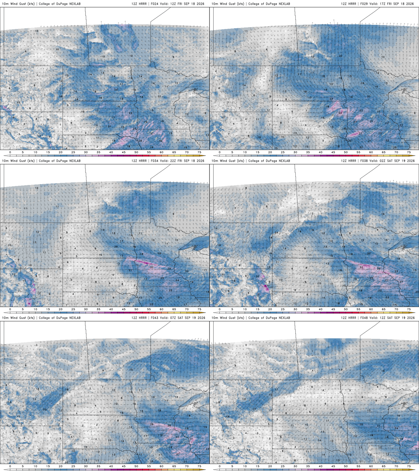
Temperatures will remain cool, mostly in the 50s and 60s due to the rain and clouds. It will also be quite windy. East winds will blow at 10 to 20 mph with gusts as high as 30 to 40 mph at times. It will remain blustery through Friday night.
The weekend will bring lingering clouds though there will be some occasional peeks of sunshine. Temperatures will also be seasonably cool with temperatures averaging a few degrees below normal.
Most will see highs in the 60s both days with overnight lows in the 50s and 40s.

Next week may yield a subtle warming trend late week.

