
Soaking rainfall totals from Round 1; flooding concerns grow for Round 2
Rain totals in some areas could exceed a month's worth of rainfall
Go Deeper.
Create an account or log in to save stories.
Like this?
Thanks for liking this story! We have added it to a list of your favorite stories.


A widespread soaking rain is falling across Minnesota Friday, delivering much-needed moisture. More rain is expected Friday night into early Saturday, with the heaviest downpours targeting southeastern Minnesota and areas near the Iowa border.
Widespread soaking rainfall
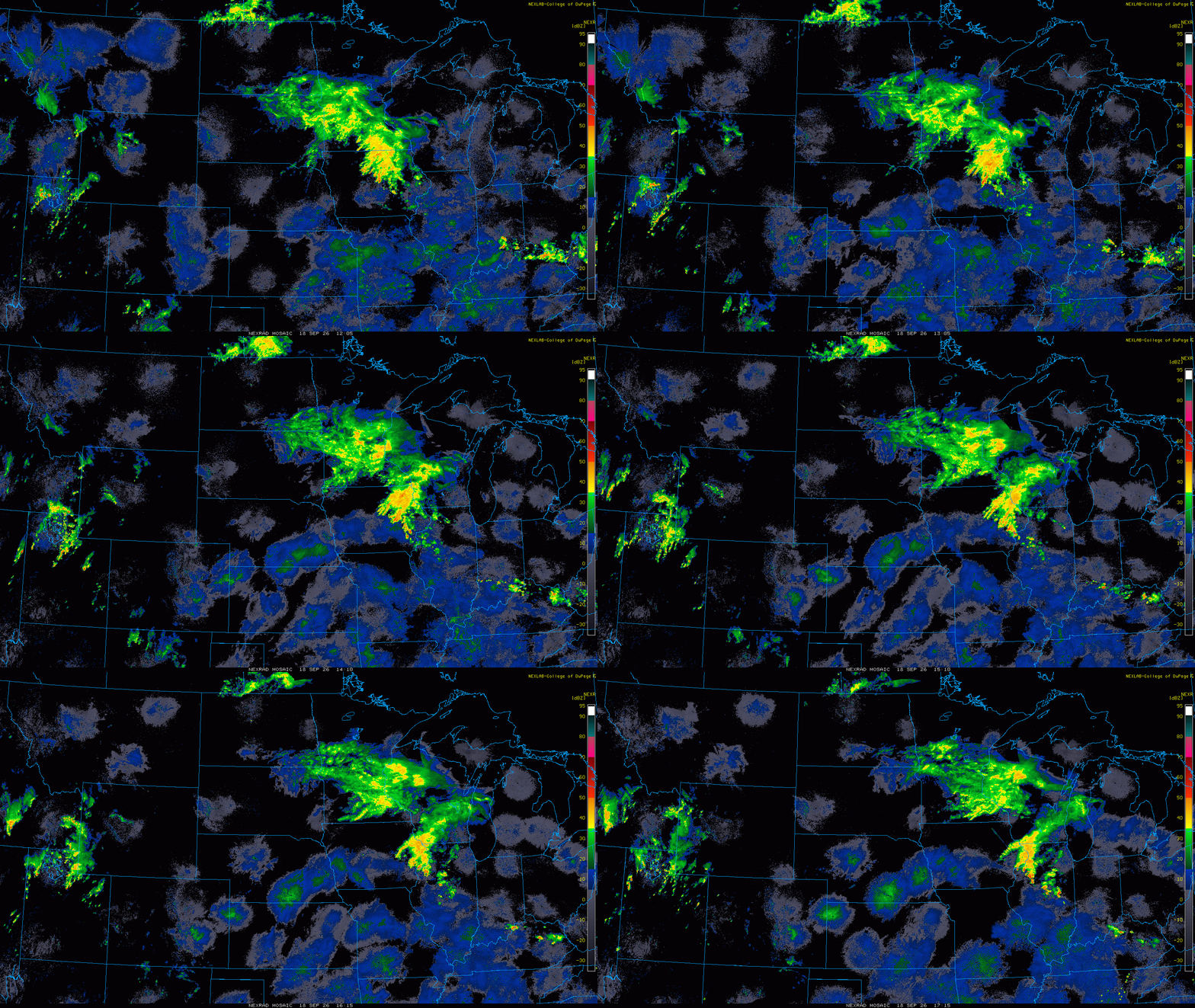
Rain gauges continue to slowly fill as Friday’s first wave of rainfall moves across the region. Many locations have already picked up a healthy one-quarter inch to more than 1 inch of rain, with totals continuing to climb.

Radar has been lighting up since the morning hours as steady, soaking rain spreads across the area. And this is only the first round. Another round of potentially much heavier rain is expected Friday night into early Saturday.
Heavier rain threat develops Friday night
The more significant rainfall concern is farther south, particularly near the Minnesota-Iowa border and across southeastern Minnesota.
Turn Up Your Support
MPR News helps you turn down the noise and build shared understanding. Turn up your support for this public resource and keep trusted journalism accessible to all.
As warmer, more humid air pushes north Friday evening, we’ll see the potential for much heavier rain to develop. The greatest concern is across far southeastern Minnesota and northeastern Iowa, especially near and east of Interstate 35.

Some forecast models are showing the potential for several inches of additional rain across southeastern Minnesota and northeastern Iowa, prompting flood watches across portions of the region.

The heaviest rain is expected Friday evening into the early overnight hours, when thunderstorms could further enhance rainfall totals. A marginal risk for severe weather is also in place, with a few stronger wind gusts possible in the storms.

Some locations could pick up a month's worth of rain by the time this system moves out Saturday morning.

