
Clouds increase as cool pattern continues
Light rain chances for southern Minnesota Monday

Go Deeper.
Create an account or log in to save stories.
Like this?
Thanks for liking this story! We have added it to a list of your favorite stories.


Cooler temperatures and mostly cloudy skies will continue through the early part of the week, with a few chances for light rain along the way.
Increasing cloud cover with cooler temperatures
Clearing skies will bring a bit of sunshine early to our Sunday, however, those breaks in the clouds won’t last long. Clouds are expected to fill back in as the day progresses, although a little sunshine should still help temperatures climb into the low to mid-60s.

By Sunday night and into Monday, another disturbance will move across the region. That will bring increasing clouds and a chance for light rain, especially across southern Minnesota. Rainfall amounts should be minimal, generally less than a tenth of an inch, but Monday is still shaping up to be another cool, damp and gray day for southern Minnesota.
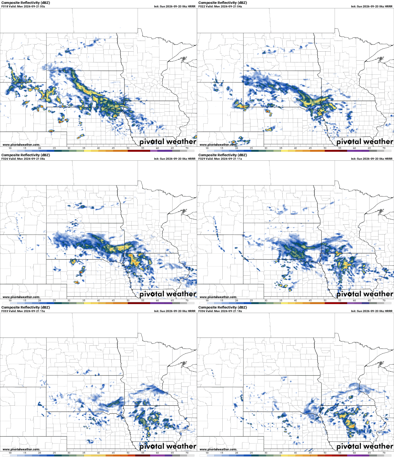
Drier weather arrives for Tuesday and Wednesday with our temperatures remaining slightly below seasonal averages. We’ll see highs in the low to mid-60s through a big chunk of the work week.

The next opportunity for rain arrives late Wednesday night into Thursday as a cold front brings some light precipitation chances mainly to western Minnesota.
River flooding in southeastern Minnesota
River flooding remains an ongoing concern across parts of southeastern Minnesota, with flood warnings continuing along the Root and Cedar rivers.
The Root River near Houston remains under a flood warning, while the Cedar River is also running high near Lansing and Austin. The Cedar River crested at around 20 feet near Lansing and 16.6 feet near Austin.

Turn Up Your Support
MPR News helps you turn down the noise and build shared understanding. Turn up your support for this public resource and keep trusted journalism accessible to all.

