
Cooler temperatures ahead with minimal rain chances
Dew points drop into the 40s and 50s
Go Deeper.
Create an account or log in to save stories.
Like this?
Thanks for liking this story! We have added it to a list of your favorite stories.


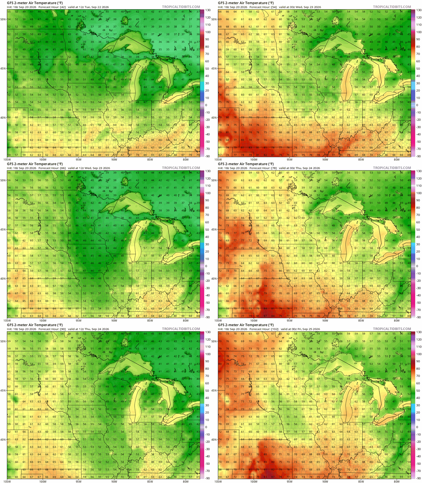
A cooler weather pattern will keep highs in the 60s this week, with some overnight lows dropping into the 30s and 40s. There’s also a slight chance of rain across southern Minnesota on Monday.
Cool high pressure to the north, low pressure to our south
Canadian high pressure building in to the Upper Midwest will keep most of Minnesota dry on Monday. A drop in dew points into the 40s will bring a drier, fall-like feel to the week.
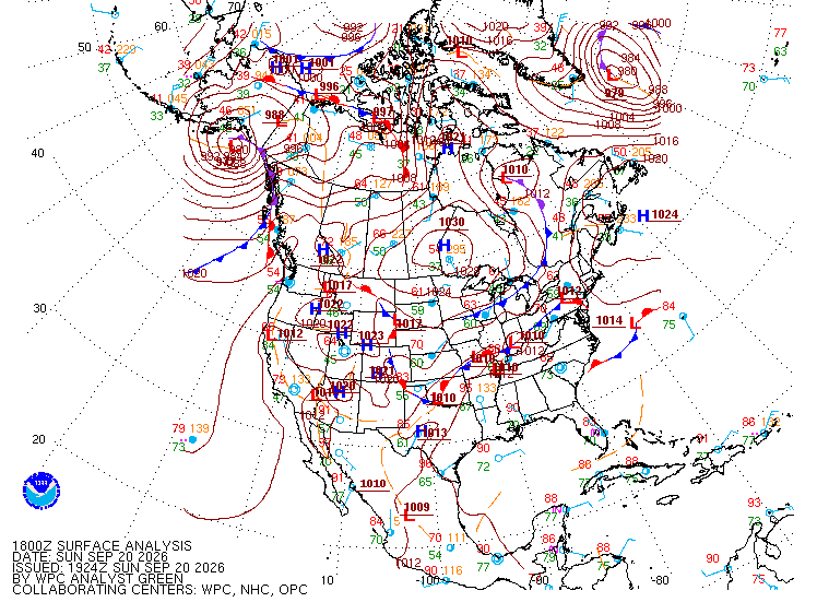
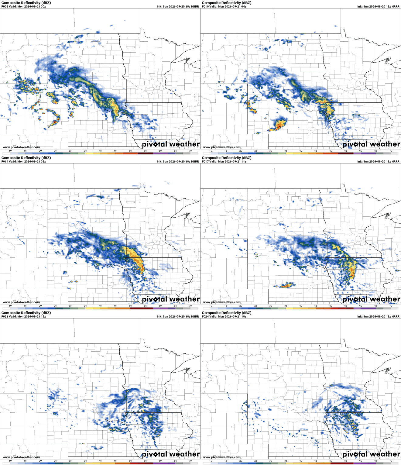
A low-pressure system to our south will graze southern Minnesota with increased cloud cover and light rain showers, with rainfall totals expected to remain below a quarter inch. Stubborn cloud cover will stick around for most of Monday, while shower chances decrease through the afternoon.
The biggest change this week will come during the overnight hours. Starting Monday night and continuing into Tuesday and Wednesday mornings, temperatures will become noticeably cooler. Most locations will see overnight lows fall into the 40s, with a few spots up north dipping into the 30s. It will be a crisp start to the day, so a jacket or extra layer will be useful for those early-morning bus stops.
Despite the cool nights, afternoons will remain pleasant. Highs Tuesday and Wednesday should climb into the middle to upper 60s under generally quiet and fair conditions.
Turn Up Your Support
MPR News helps you turn down the noise and build shared understanding. Turn up your support for this public resource and keep trusted journalism accessible to all.

