Brighter skies return Tuesday and Wednesday
More rain chances Thursday and Saturday
Go Deeper.
Create an account or log in to save stories.
Like this?
Thanks for liking this story! We have added it to a list of your favorite stories.


We’ll finally see some sunshine Tuesday and Wednesday after several gloomy days. It will also be a bit warmer Wednesday with highs near 70-degrees. The next chance of rain develops Thursday.
Brighter skies return Tuesday and Wednesday with showers Thursday
It was a chilly start earlier with morning temps below freezing in portions of northeastern Minnesota. Most of the rest of the state saw lows in the 30s and 40s.
The Twin Cities officially hung onto 50 degrees at Minneapolis-St. Paul International Airport. Most suburbs were in the 40s however.
Our normal first low in the 40s should have arrived over two weeks ago but it looks like we’ll finally dip below the 50-degree mark on Tuesday night, even in the urban heat island.
Turn Up Your Support
MPR News helps you turn down the noise and build shared understanding. Turn up your support for this public resource and keep trusted journalism accessible to all.

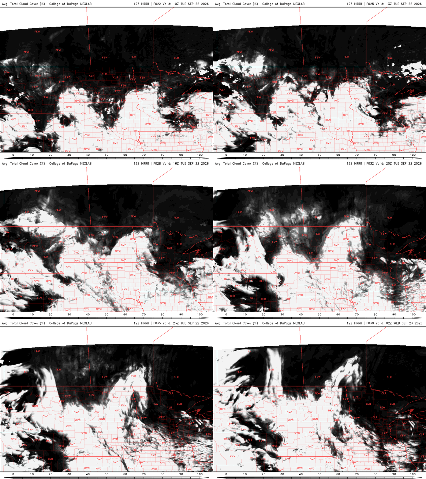
We’ll also finally enjoy some sunshine Tuesday.
After several gloomy days, we’ll see partly cloudy skies Tuesday and Wednesday with more sun than clouds. Highs will be mostly in the 60s across the state this afternoon with light northeast winds.

Look for another chilly overnight with lows falling once again into the 30s and 40s under mainly clear skies.

Wednesday should be a few degrees warmer with highs closer to 70 degrees for most of central Minnesota. Far southern and northern Minnesota will continue to see a bit more cloud cover and slightly cooler temps.
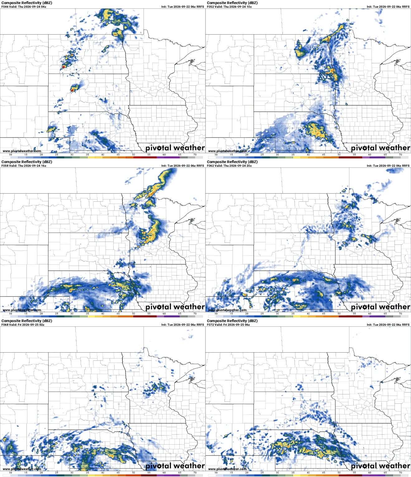
Our next chance at some rain develops late Wednesday night into Thursday as a disturbance brings some scattered rain showers. Most rainfall will be confined to western and southern Minnesota with much of it dwindling as it moves east.
Temperatures overall will be warmer Friday into early next week, with low 70s in southern Minnesota.
We’ll also see another chance of some rain and thunder on Saturday. Once again, the bulk of the rain looks to fall west and south.
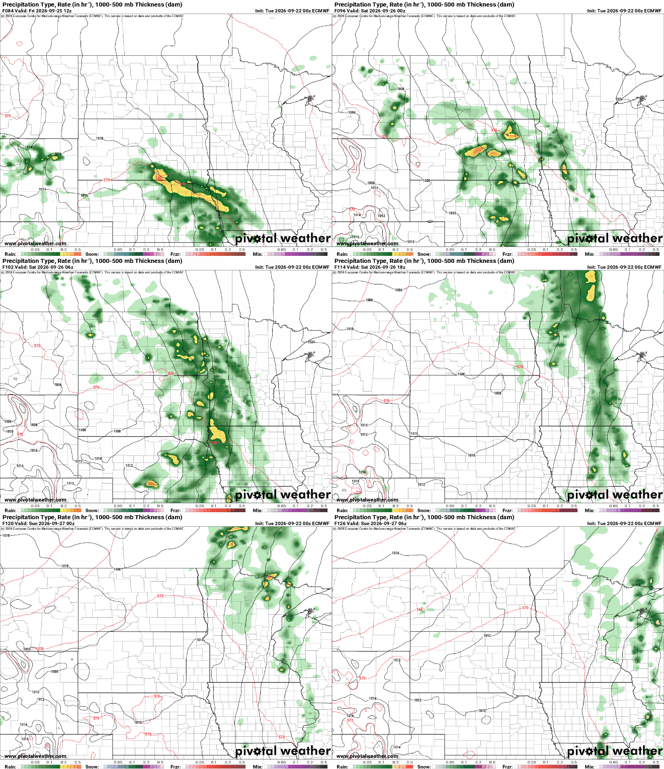
Total rainfall this week from the Thursday and Saturday systems combined will be light for eastern Minnesota into western Wisconsin. Western portions of the state could see one-half inch to 1 inch of rainfall.