
Minnesota weather: Slow and steady rain ahead
Several rounds of rain help ease our drought subtly as temperatures hold normal
Go Deeper.
Create an account or log in to save stories.
Like this?
Thanks for liking this story! We have added it to a list of your favorite stories.


Do you need the rain jacket Thursday? Yes! We will keep the clouds hanging with another likely shot of rain for many on Saturday and then again Tuesday. Nothing huge jumps out for temperatures in the days ahead. Plus, early indications for the big marathon are mild temperatures.
Not falling yet this fall
Only the smallest amount of fall color is popping up as of Wednesday, with some rusty oranges visible from space near the town of Finland. That’s high up in the North Shore’s Sawtooth Mountains. The recent spate of patchy frost in northeastern Minnesota should get things moving within the next week, so early leaf peepers should be getting excited!
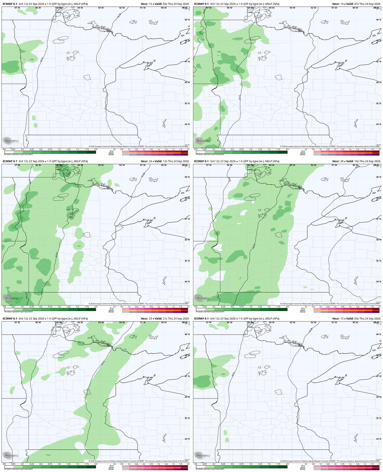
We are starting to build the cloud deck in later Wednesday ahead of an overnight rain for western Minnesota. Totals for rain should be pretty solid (half an inch or so) near Fergus Falls, Fargo and over towards Bemidji. Others will get just leftovers. As for eastern Minnesota — places like Duluth, Minneapolis, St. Paul and Rochester — this is more of a daytime deal on Thursday.
Pack the rain gear on Thursday!
Turn Up Your Support
MPR News helps you turn down the noise and build shared understanding. Turn up your support for this public resource and keep trusted journalism accessible to all.

We will be on the cool side, too, with all the clouds. Only expect highs Thursday in the lower 60s or even cooler in many places. Despite the brief cooler weather, we are mostly pretty average across Minnesota. For reference, the average high at the Minneapolis-St. Paul Airport for this time of year is 70 degrees with a typical low of 51 degrees. Overnights may actually be a little above what we typically expect.

Repeated rounds of rain
Another low ejects out of Kansas and Nebraska on Friday. This one will bring the best chance of rain to far southwestern Minnesota before mostly dissipating into just clouds closer to the Twin Cities. The leftover juice from that storm will continue to pull in moisture from the south on Saturday, particularly Saturday morning. Southern and western Minnesota currently have the best chance at a few tenths of an inch of rain but it’s nothing massive.
Sunday is a really tough call. Maps are going back and forth, though many are trending drier and with milder temperatures.

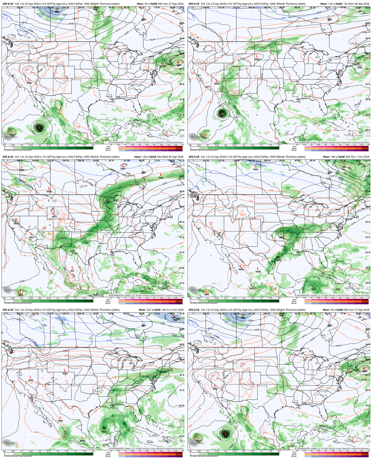
Monday now looks to be a fairly dry day, but Tuesday, not so much! Tuesday has a powerful cold front rolling through Minnesota. This is our best chance in the coming week-plus to get some soaking rains. A lot of folks around Minnesota could pick up a full inch of rain — but only if the forecast holds together. While things are stable now, that is still a long ways out.
Past that, we should experience a few quiet and clear weather days. Oftentimes the start of October can be lovely around the region, and this year looks to be no different. As for the tropical impact on Minnesota, it will not be from the Gulf of Atlantic. We may get a remnant amount of moisture from southwestern Mexico via one of the potent storms in the Pacific. If that did verify, it would not be for nearly 10 days from now.

