
Nice Wednesday ahead of showers Thursday
Another chance of rain on Saturday
Go Deeper.
Create an account or log in to save stories.
Like this?
Thanks for liking this story! We have added it to a list of your favorite stories.


We’ll see a fair amount of sun Wednesday once again. Most afternoon highs will be in the 60s. Showers develop tonight in western Minnesota and try to make their way east Thursday.
Nice Wednesday ahead of showers Thursday
It’s another seasonably chilly start with lots of temperatures in the 30s and 40s for much of Minnesota.
We’ll see a fair amount of sunshine once again with some patchy, fair weather cumulus clouds developing midday. Highs will be mostly in the 60s though parts of the Red River Valley could get to near 70-degrees.

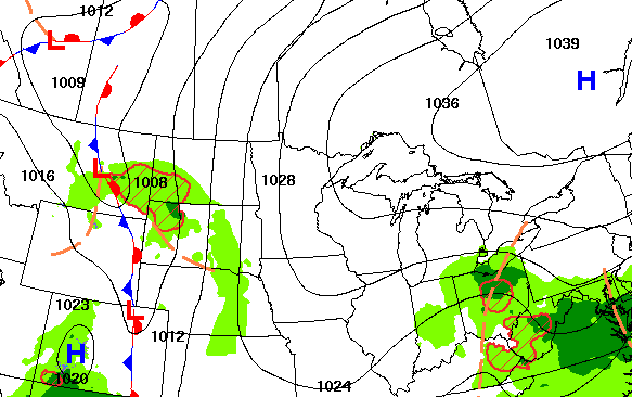
Clouds will be moving tonight, which will prevent temperatures from being as chilly. Showers will be developing in western Minnesota tonight too. Those will attempt to move east but will be running into high pressure and dry air, limiting rainfall amounts in eastern Minnesota and western Wisconsin into Thursday.
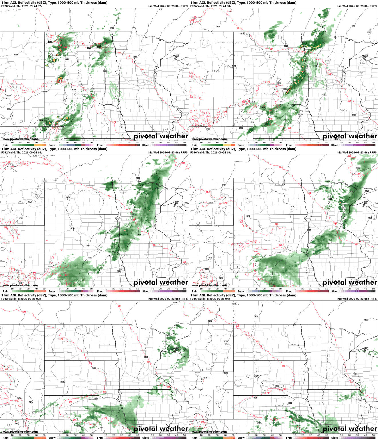
Portions of west central Minnesota could see 0.50 to 1.00 inches of rainfall while those totals will quickly drop off farther east.

We’ll then see slightly warmer temperatures for Friday and early next week. Highs in the low 70s should become more widespread.

Another round of showers is possible Friday night into the first half of Saturday. That system looks to spread the rainfall around a bit more than the Thursday disturbance.

Turn Up Your Support
MPR News helps you turn down the noise and build shared understanding. Turn up your support for this public resource and keep trusted journalism accessible to all.

