
Rain hugs Minnesota's western border; Tuesday may be a soaker
Warmer Friday through Monday before a gradual cooldown

Go Deeper.
Create an account or log in to save stories.
Like this?
Thanks for liking this story! We have added it to a list of your favorite stories.


Minnesota weather is pretty quiet right now with some scattered rain chances through Saturday, mostly in the western part of the state. Sunday and Monday look dry and pleasant. Heavier rain returns on Tuesday along with a gradual cooldown.
Rain fades
Only remnants remain from the stalling rainmaker but we had some impressive totals to the north. Bemidji reported 1.9 inches on Thursday morning. Red Lake Falls had well over 1 inch. That matches the bull’s-eye we expected.
We could get a few hundredths of an inch of rain later Thursday afternoon along the Interstate 35 corridor, but that is about it.
Friday should start with some fog in the northwestern corner of the state and along the Minnesota River Valley and Lake Superior shoreline.
Turn Up Your Support
MPR News helps you turn down the noise and build shared understanding. Turn up your support for this public resource and keep trusted journalism accessible to all.
After the fog burns off, Friday sets up to be a really nice late-September day with decent sunshine and temperatures a little above average. Much of the state gets a respite from clouds and light rain.
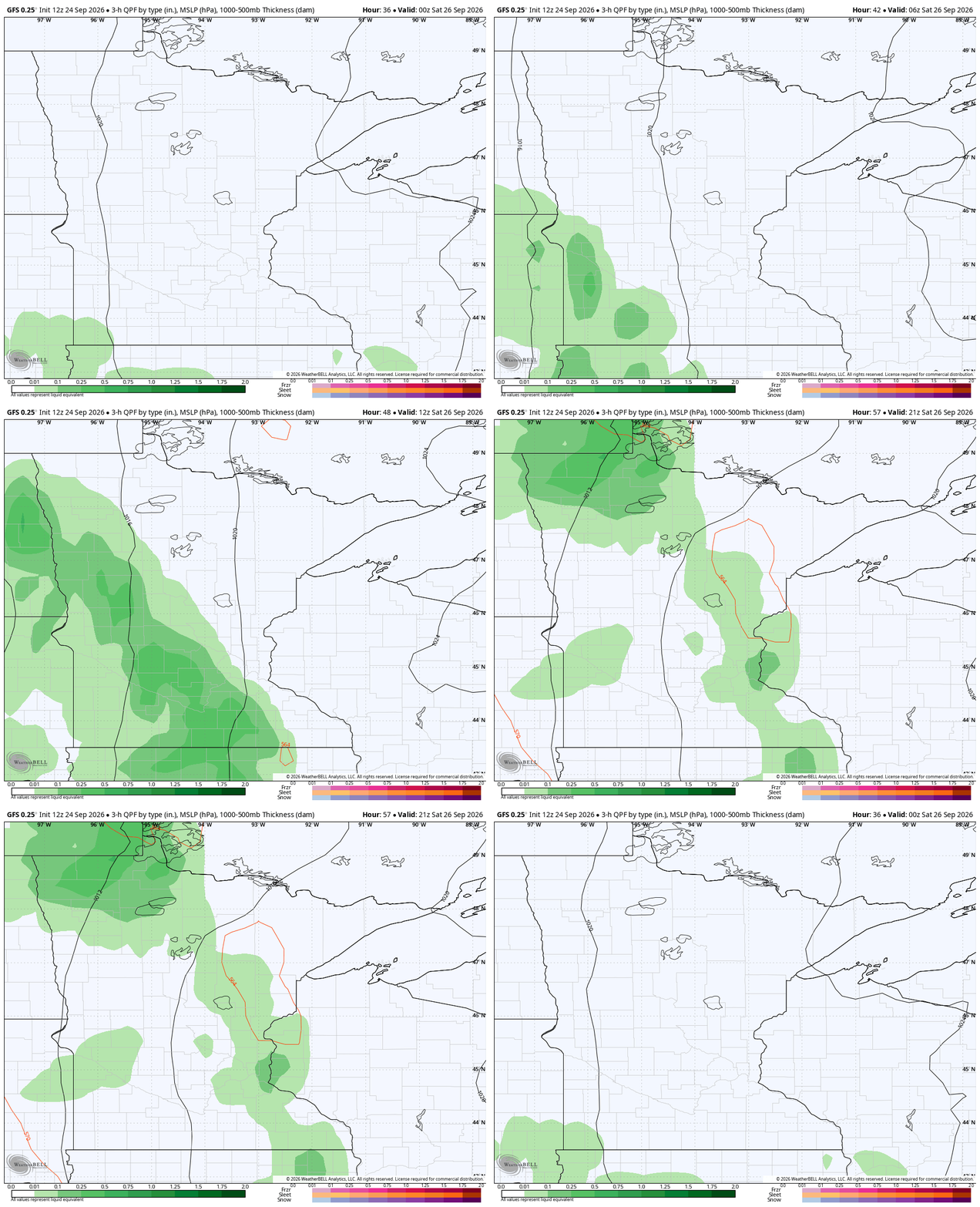
Saturday still brings a really solid path of rain to western Minnesota. That location has been consistent day after day for rain. We don’t think there is much chance of rain in northeastern Minnesota. The Twin Cities, Rochester and Duluth may see a few small showers.
The showers have been back and forth and most will have a pretty stout cloud deck off and on Saturday. So high temperatures will likely be several degrees below average.

Warmer before a slow falloff next week
Sunday and Monday look dry and pleasant with low temperatures higher than we typically see at the end of September. In the Twin Cities, lows will be in the upper 50s.
Once the rain blows through on Tuesday, we will gradually cool down.
Soaking rain Tuesday
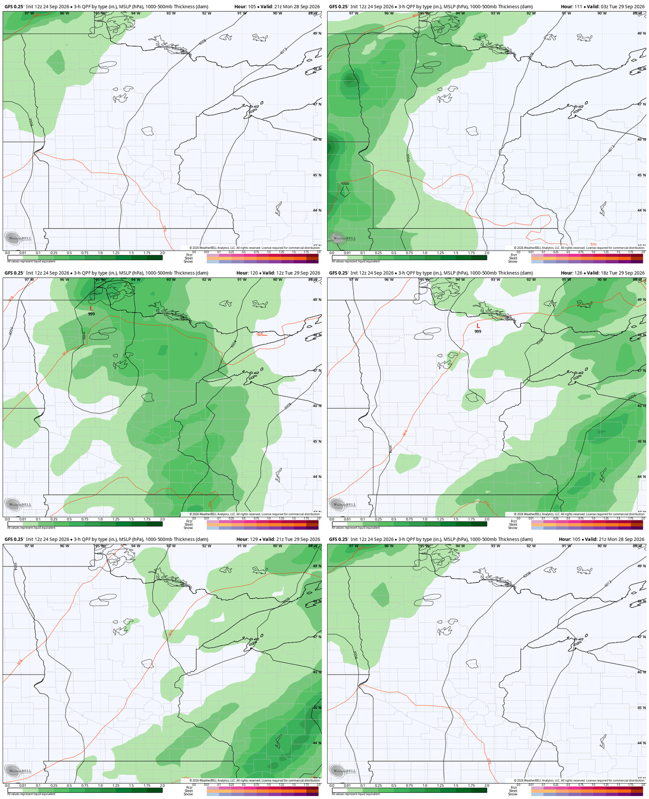
Tuesday brings heavy rain at times. The map at the top of this Updraft shows how much rain we could stack up over the coming week. The map below shows just the one day.


