
Fall color season getting a later start in northern Minnesota
Hues of orange, red and yellow are emerging up north

Go Deeper.
Create an account or log in to save stories.
Like this?
Thanks for liking this story! We have added it to a list of your favorite stories.


Fall color season is getting underway across Minnesota, but northern Minnesota is off to a noticeably slower start than it was at this time last year.
Late start to fall colors
If you're waiting for Minnesota's fall colors, there's a noticeable difference on this year's map: the fall color season is getting a slower start across northern Minnesota compared with this time last year.
Fall colors can be affected by many different variables, from day length to temperatures and drought, there is never an easy way to predict exactly how the season will unfold. But our first look at this year's fall color map is showing 25-50% color change around Cascade River State Park and Gooseberry Falls along the North Shore.

A recent snapshot from the Lutsen Mountains live camera is also showing some beautiful hues of orange, red and yellow, a sign that the fall color season is beginning to ramp up.
Turn Up Your Support
MPR News helps you turn down the noise and build shared understanding. Turn up your support for this public resource and keep trusted journalism accessible to all.

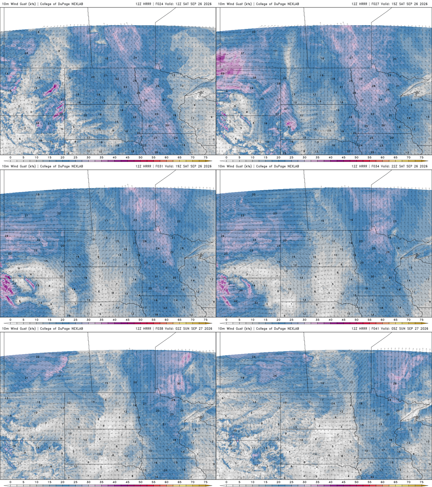
Our weekend forecast includes some cloud cover, breezy winds and rain chances. Saturday will be cooler, with highs in the low to mid-60s and mostly cloudy skies.

Winds will blow from the south to southeast at 10-20 mph Saturday before diminishing Sunday.
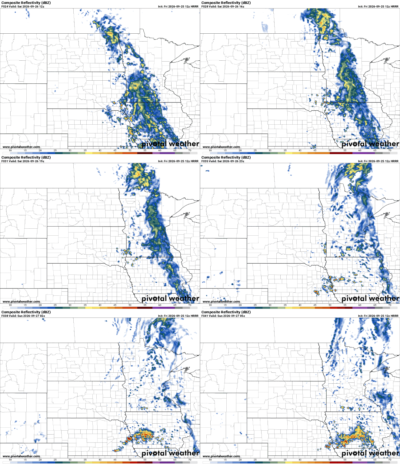
Scattered to widespread showers will develop early Saturday across western Minnesota before spreading east-northeast. Rainfall amounts could range from a quarter-inch to possibly a half-inch in spots, particularly where heavier or convective showers develop.
Drier conditions return Sunday, with warmer temperatures in the mid to upper 60s. A few 70s will be possible out west, along with lighter winds and a bit more sunshine.

Happy start to fall colors, y’all!

