Warmer Friday ahead of some showers Saturday
More potential rain chances next week
Go Deeper.
Create an account or log in to save stories.
Like this?
Thanks for liking this story! We have added it to a list of your favorite stories.


We’ll see warmer conditions in the Twin Cities. Temperatures Friday will reach 70 degrees for the first time in more than a week.
More showers are possible Saturday, but dry air will factor into amounts again.
Warmer Friday ahead of some showers Saturday
It’s been more than a week, but the Twin Cities should see 70 degrees again Friday afternoon. We should see highs in the low 70s for the Twin Cities and pockets of east-central Minnesota and the Red River Valley in northwestern Minnesota.
Elsewhere, highs will be in the mid to upper 60s. Skies will be mostly cloudy with some occasional peeks of sunshine.
Turn Up Your Support
MPR News helps you turn down the noise and build shared understanding. Turn up your support for this public resource and keep trusted journalism accessible to all.

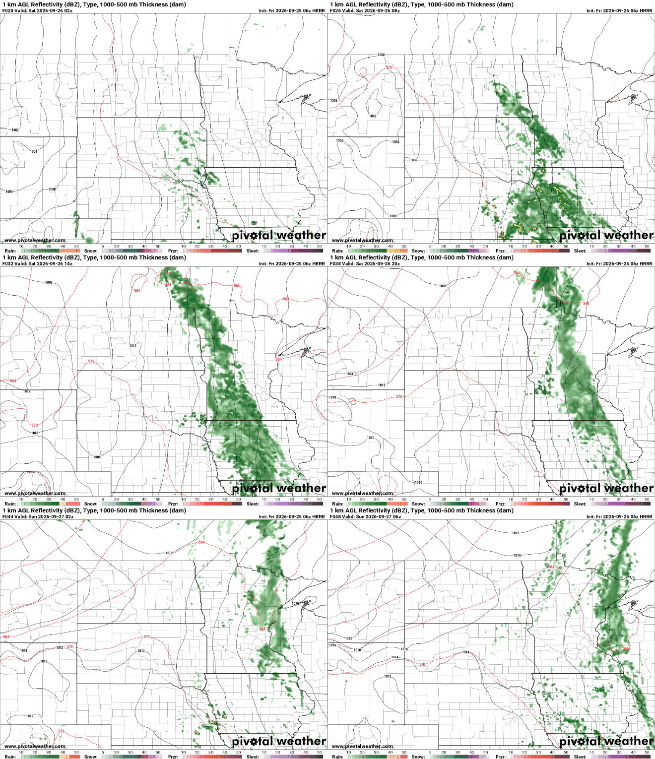
More rain will attempt to develop for Saturday. Showers will develop late Friday night into early Saturday across western and southwest Minnesota and expand north and east through Saturday.
The Twin Cities can anticipate some afternoon and evening scattered showers Saturday.
Once again, there will be a sharp cut off in rainfall amounts in eastern Minnesota due to dry air from high pressure nearly parked to the east of the region.
Rainfall will likely be on the lighter side again for eastern Minnesota into Wisconsin with perhaps more significant amounts in portions of far southern and western Minnesota Saturday. Here’s NOAA’s official rainfall forecast:

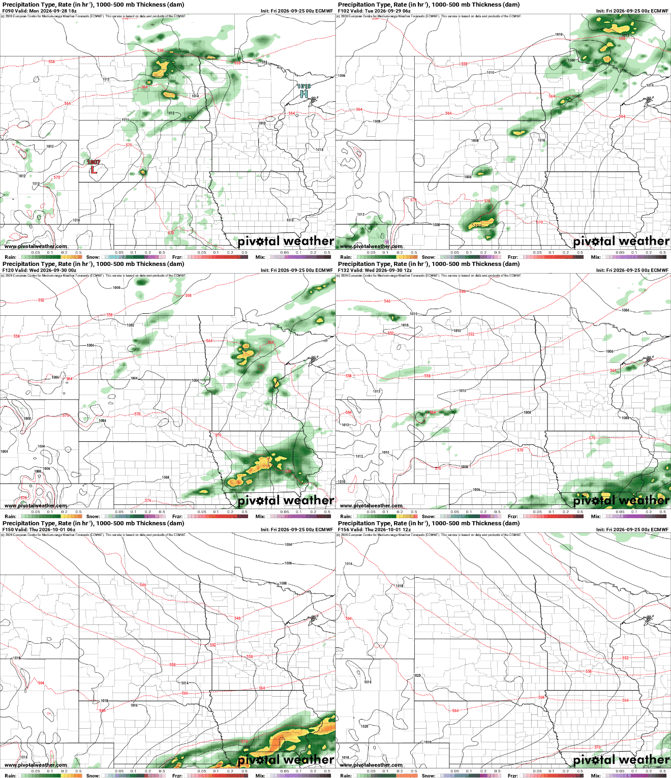
The European Centre for Medium-Range Weather Forecasts model is more optimistic about rainfall. It produces up to 1 inch for southwestern Minnesota and perhaps up to four-tenths of an inch for the Twin Cities.

Sunday and Monday should be mostly dry and warmer again. Highs could reach the low 70s. The normal high for the Twin Cities slips below 70 degrees on Friday and won’t be back there again until May 17.
Of course, we’ll likely see more 70s this fall and in April and maybe March, but those are the 1991-2020 average high temperatures. Overall, temperatures look pretty close to seasonable into next week as we transition from September to October.

We’ll be watching another couple of systems early next week that could deliver more hopeful chances of rainfall Monday night into Tuesday and on Thursday. Forecast models have trended south of Minnesota for the heaviest rainfall in recent model runs, however.