
Foggy, damp start to Sunday; more rain chances on the way
Seasonal temperatures to start the week
Go Deeper.
Create an account or log in to save stories.
Like this?
Thanks for liking this story! We have added it to a list of your favorite stories.


A damp start to Sunday is in store, with rain showers and areas of drizzle continuing through the morning for mainly southeastern Minnesota. The lingering moisture will keep skies cloudy and conditions unsettled early in the day.
The good news is that the rain should gradually taper off this afternoon as an upper-level ridge builds in. Some filtered sunshine could emerge late Sunday afternoon and evening, helping temperatures climb into the upper 60s to around 70 degrees.

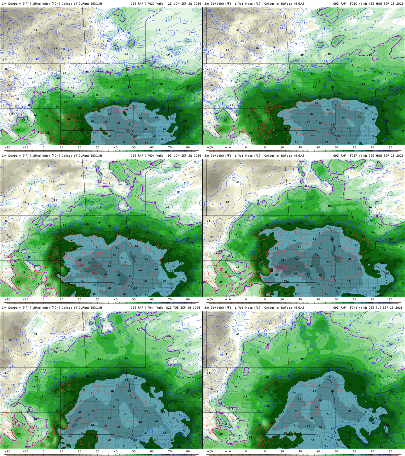
Monday looks quieter, although clouds will remain a big part of the forecast. High pressure will settle across the Great Lakes, while southerly winds pull additional moisture northward into the region. As a result, dew points will climb into the 60s, bringing a noticeable increase in humidity.
Expect broken to overcast skies and temperatures once again in the upper 60s to low 70s. While widespread rain isn't expected, there are some showers in the forecast for northwestern Minnesota.
Wet day Tuesday
The best chance for rain over the next week arrives Tuesday as another disturbance moves across the region. The added moisture in place will support scattered to widespread showers, along with a few embedded thunderstorms throughout the day. Right now, the highest rainfall amounts are centered on locations south of Interstate 94, mainly in southern Minnesota.
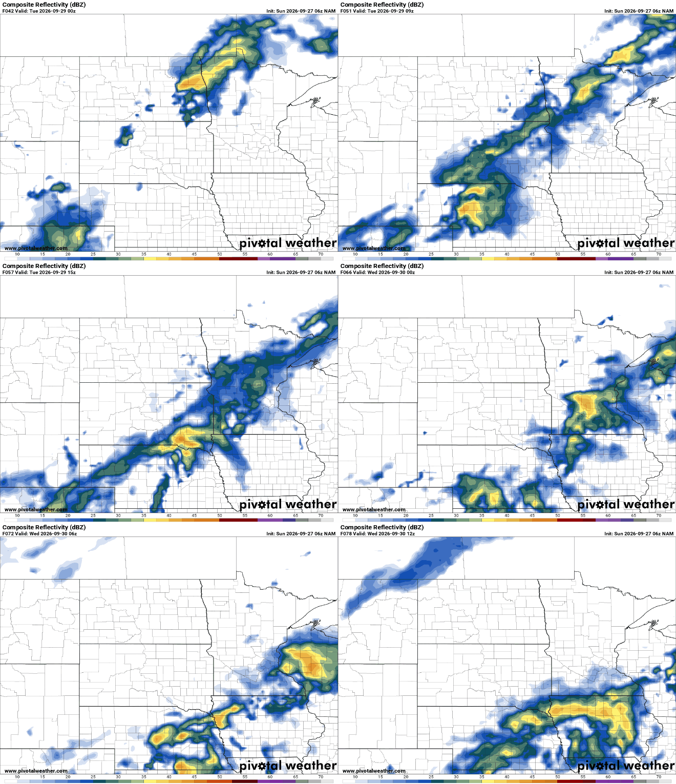
The weather pattern will remain active for the remainder of the week, meaning additional rain chances could pop up even after Tuesday.
Temperatures should remain near or slightly above average through midweek before a gradual cool-down develops to end the week.
Turn Up Your Support
MPR News helps you turn down the noise and build shared understanding. Turn up your support for this public resource and keep trusted journalism accessible to all.

