
Mild Monday with more rain developing into Tuesday
Cooler air and sunshine moves in for Thursday

Go Deeper.
Create an account or log in to save stories.
Like this?
Thanks for liking this story! We have added it to a list of your favorite stories.


Temperatures Monday will be several degrees above normal. Rain develops northwest and expands across the state Tuesday. Cooler air but sunshine also move in for Thursday.
Mild Monday with more rain developing into Tuesday
Monday won’t be sunny but it will be very mild. After some morning fog, look for a mix of clouds and some occasional sunshine.
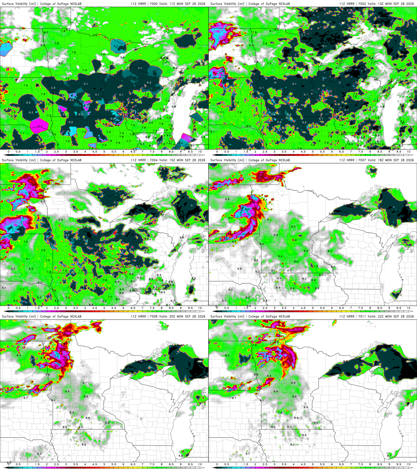
A dense fog advisory is posted for much of central and southern Minnesota through 10 a.m. Monday.

Afternoon highs will be in the low to mid-70s across much of central and southern Minnesota with 60s far north. Those readings are about 2 to 10 degrees above normal.
Turn Up Your Support
MPR News helps you turn down the noise and build shared understanding. Turn up your support for this public resource and keep trusted journalism accessible to all.

Showers will develop in northwestern Minnesota and expand east into much of northern Minnesota by Monday evening. Those showers and even some thunderstorms will expand across much of the state for Tuesday, lingering into Wednesday.
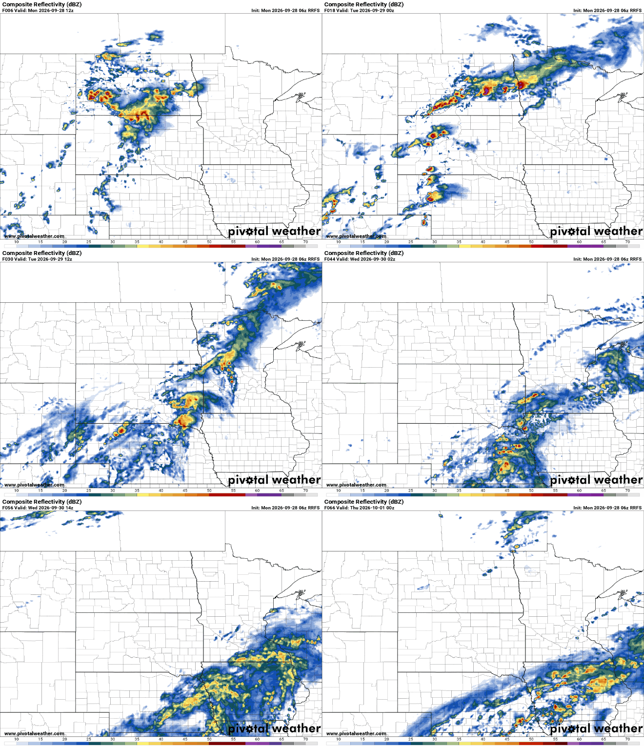
Rainfall could be significant for many areas, especially northwestern Minnesota. A broad area of 1 inch or more looks likely for many places but northwest and southeast Minnesota could see more than 2 inches by Wednesday evening.

Behind the system, high pressure and cooler air move in for Thursday and Friday. That means we’ll also see some abundant sunshine rather than playing hide and seek with the sun as we have lately.

Forecast models hint at some chilly air moving in either by the end of the upcoming weekend or later next week. Tracking weather is volatile this time of year in the season of changes.

