
Warm Wednesday ahead of cooler air Thursday
Brighter skies later Thursday into Friday
Go Deeper.
Create an account or log in to save stories.
Like this?
Thanks for liking this story! We have added it to a list of your favorite stories.


Fog and clouds will decrease some on Wednesday with more sunshine north and warm conditions statewide. Cooler, drier air moves in Thursday.
Warm Wednesday, cooler air Thursday; brighter skies ahead
Wednesday will be warm with sunshine for some of us. Morning fog will burn off and clouds will slowly decrease.
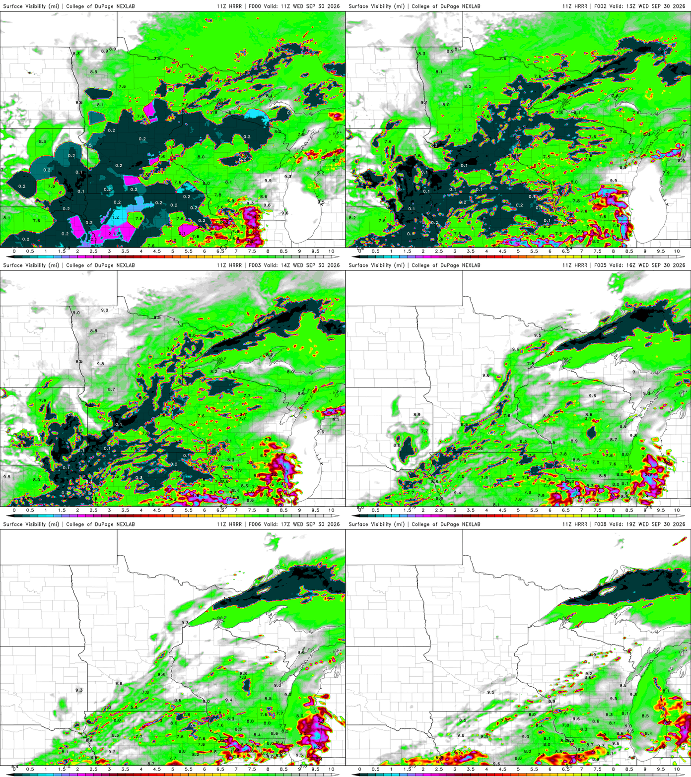
There are dense fog advisories posted through 10 a.m. for central and southwestern Minnesota.

Northern Minnesota will see more sun than southern Minnesota. Afternoon highs will be in the 70s for most. Those readings are 5 to 15 degrees above normal. It’s a fitting way to close out what’s been a warmer-than-normal month across the state.
Turn Up Your Support
MPR News helps you turn down the noise and build shared understanding. Turn up your support for this public resource and keep trusted journalism accessible to all.

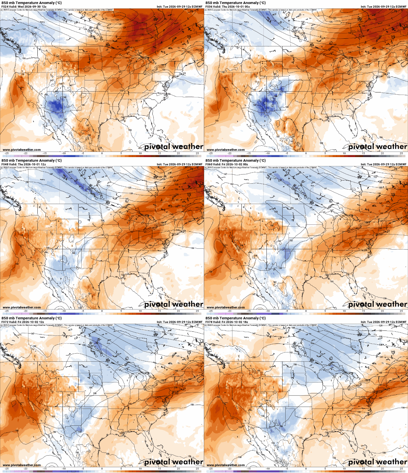
Cooler and drier air is moving in Wednesday night behind the most recent storm system, dropping temperatures to more seasonable levels for Thursday into the weekend.
Highs Thursday will range from the mid-60s south to the upper 50s north.

This will set us up for a chilly overnight Thursday night. The Twin Cities may finally officially drop below 50 degrees, coming about a month late.

The first weekend of October looks like a lovely autumn weekend overall. Highs will range from the low 60s south to mid 50s north.
A reinforcing cool front could touch off a spotty shower late Saturday. Otherwise we should see quite a bit of sunshine Friday into Saturday morning and Sunday.

