
Coldest night since May ahead, then warming into the weekend
Frost advisories and freeze warnings up north

Go Deeper.
Create an account or log in to save stories.
Like this?
Thanks for liking this story! We have added it to a list of your favorite stories.


Our very busy weather pattern will take a quieter turn in October, with limited rainfall opportunities and longer stretches of quiet weather.
From a wet week to a dry week
Before looking ahead, it's worth looking back.
The map below shows precipitation across Minnesota from Sept. 24 through Sept. 30. There was a fairly substantial amount of rain during the past week, particularly across northern and central Minnesota where they saw over 3-5 inches of rainfall.

We've gone from a fairly active and wet pattern to one that is about to become almost the exact opposite, and that change began Thursday.
Turn Up Your Support
MPR News helps you turn down the noise and build shared understanding. Turn up your support for this public resource and keep trusted journalism accessible to all.
Chilliest night of the season ahead
Thursday night will bring some of the coldest temperatures we've seen since late May, with clear skies, light winds and a much drier air mass settling in as high pressure builds in. Frost advisories and freeze warnings are already in effect across parts of northern Minnesota, and for the rest of us, it will be a noticeably chilly start to Friday.

Low temperatures will drop to sub-freezing readings in areas under the freeze warning and to near 32 degrees in locations under the frost advisory.

And then, rather quickly, we start warming back up. High pressure will slide east, and winds will turn southerly. That will allow temperatures to rebound Friday and especially Saturday, when temps in the upper 60s to near 70 degrees reappear on the map.
There is one small wrinkle in the weekend forecast: Another cold front will move through Saturday night, bringing a small chance for isolated showers, mainly across northern Minnesota. Rainfall amounts should remain light, with most locations picking up less than a tenth of an inch.
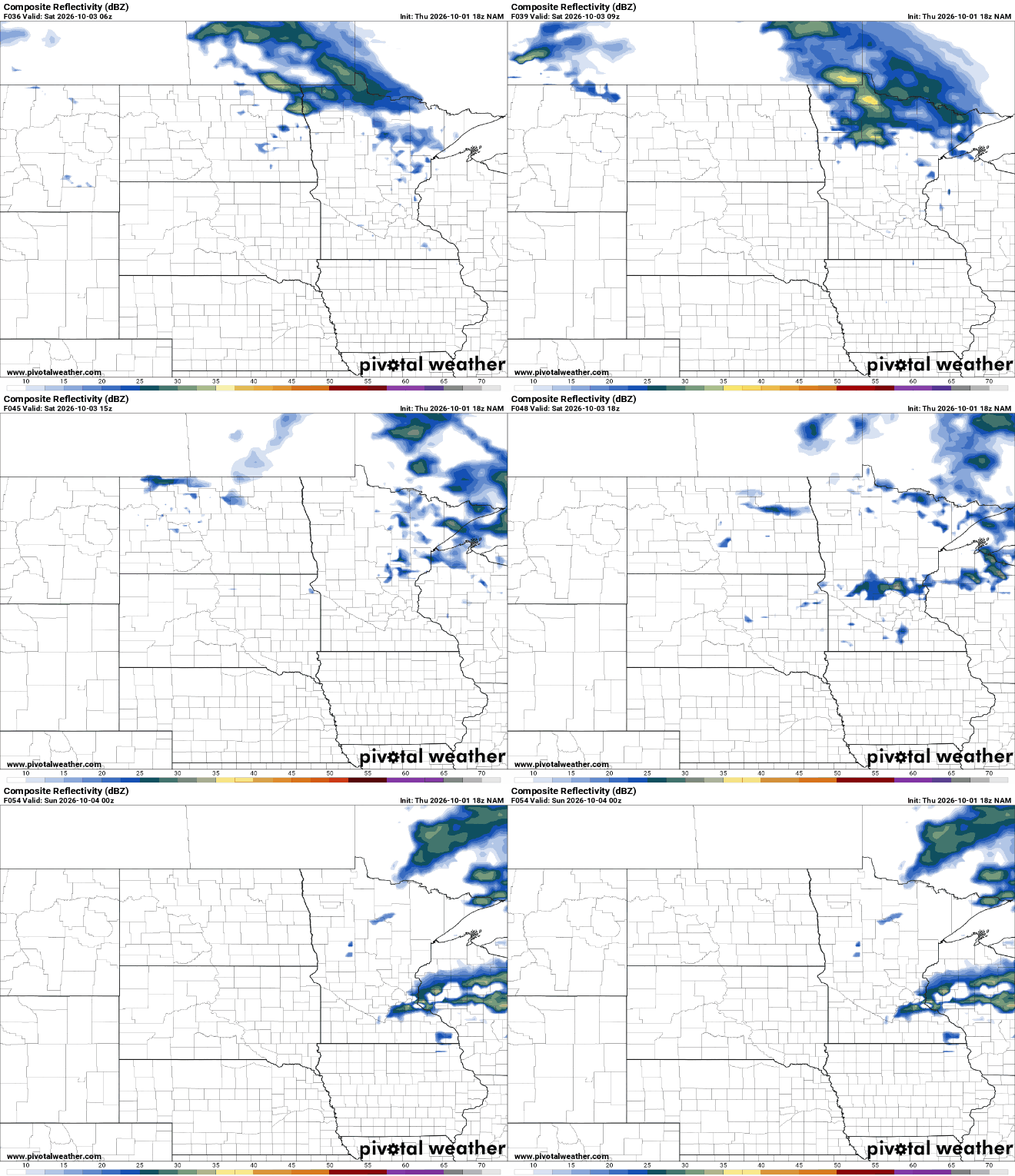
This Saturday night front is currently the only meaningful opportunity for rain over the next seven days, and even that looks rather minor.
Once that weak front moves through, high pressure takes over again. Sunday looks pleasant, dry and seasonable, with comfortable temperatures and generally good weather for the Twin Cities Marathon. Good luck, runners!

